

Home Preamble Index Areas Hills Lakes Dales Places Map References Ramblings Me Drakkar
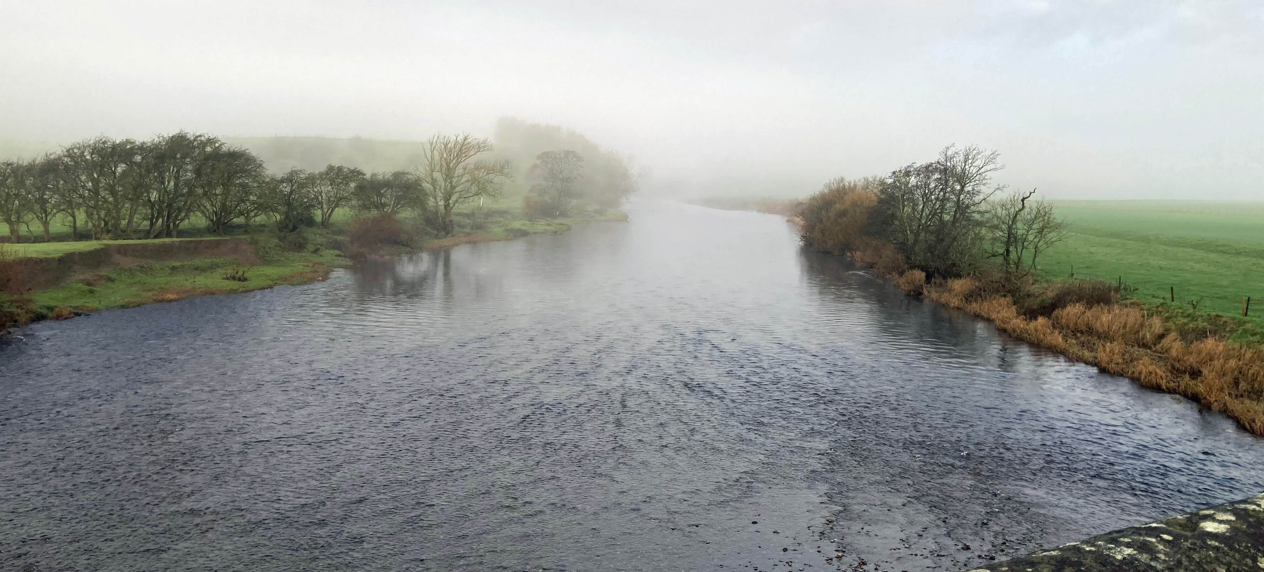
The Lune from Loyn Bridge, in mist
Setting off from Hornby, I crossed Loyn Bridge, with a bank of cloud lingering in the valley and the sun trying to rise above it. I duly reached Gressingham, passing Gressingham Hall (although I saw no name to that effect at the entrance), a building of gables and chimneys, to reach the church. This stands on a small hillock. It was rebuilt in the 18th century but parts of it are said to be of the 12th century, which includes, I assume, the Norman doorway which is, for me, the most impressive part of the church.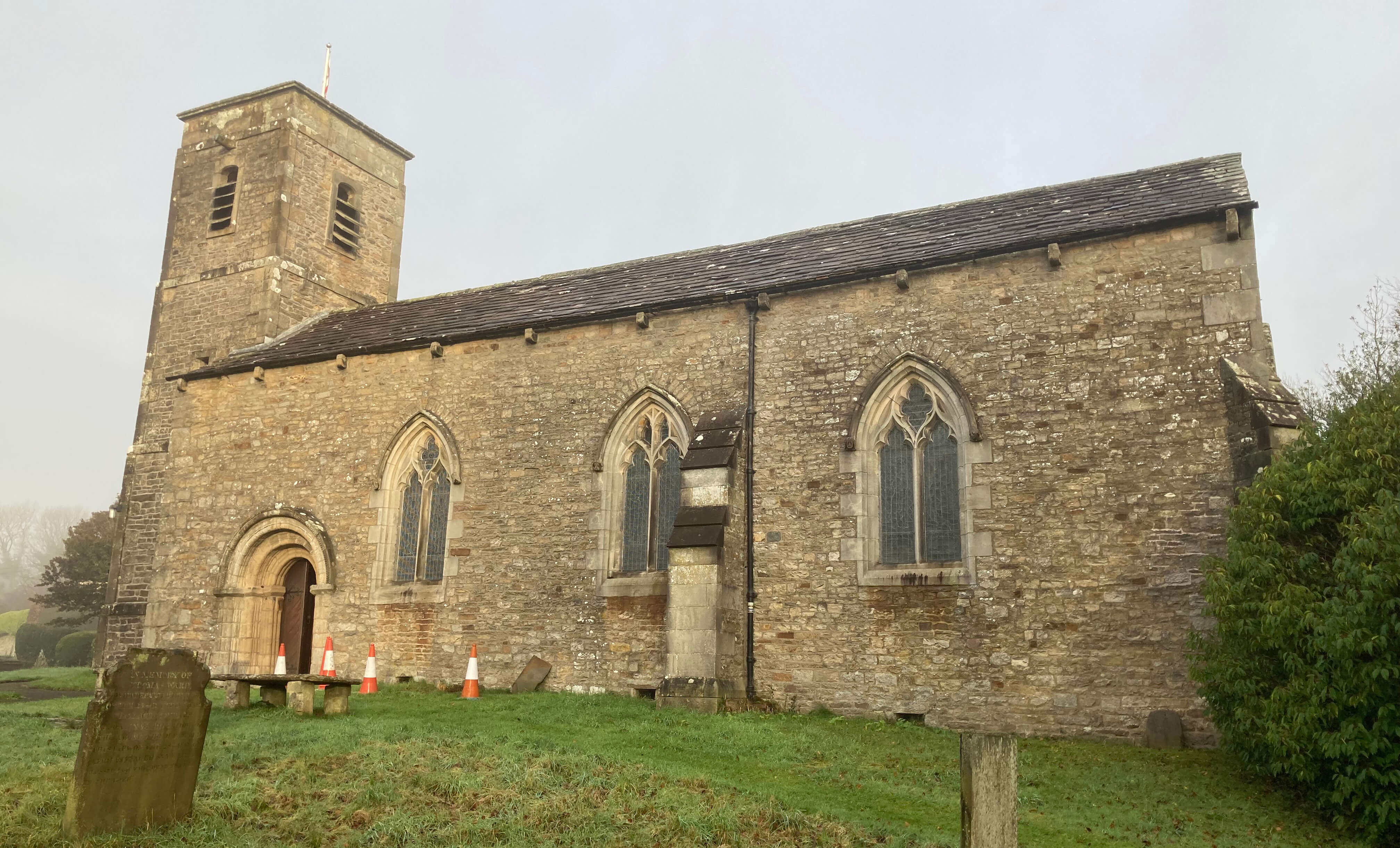
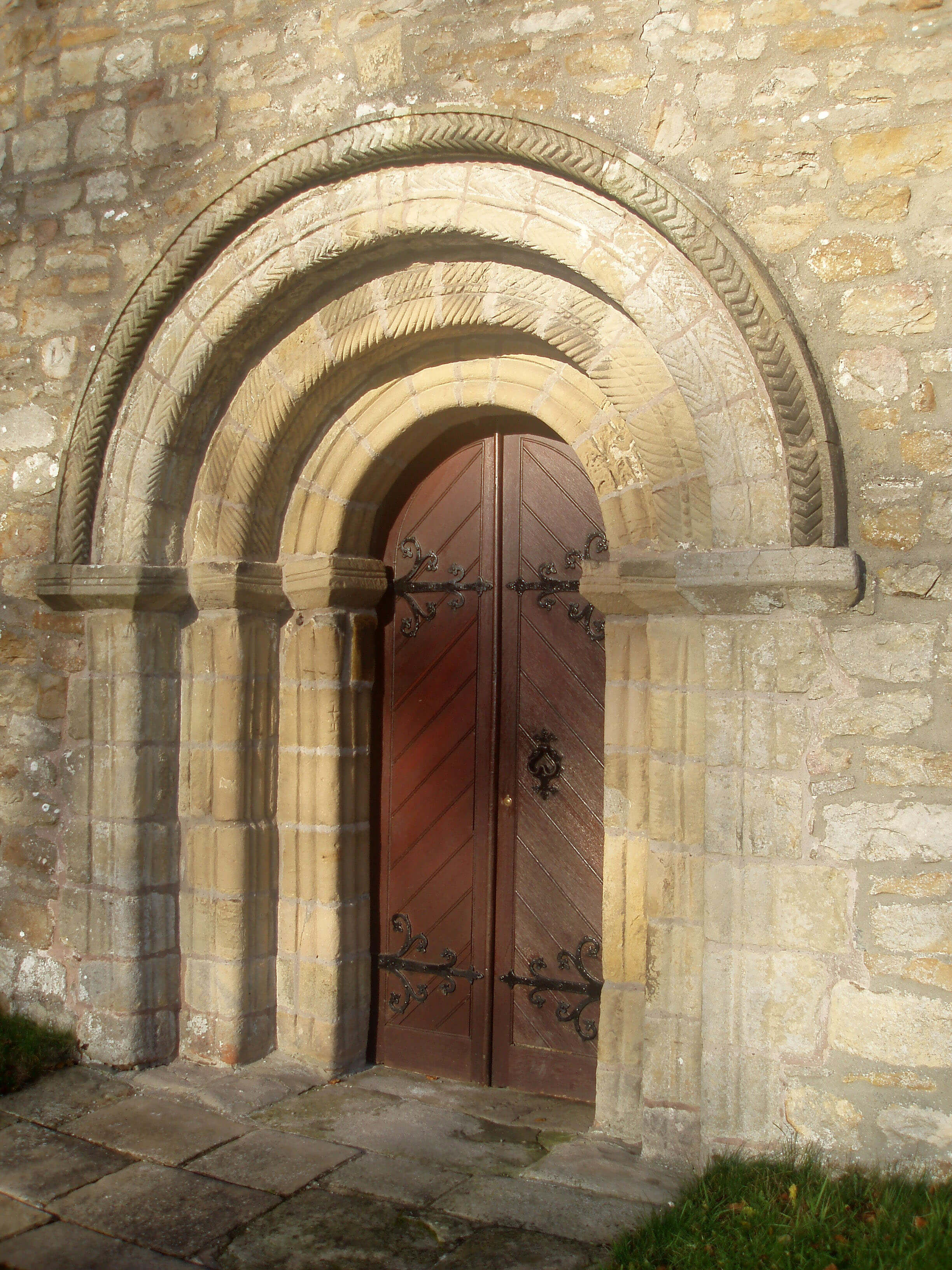
Left: Gressingham Church; Right: The Norman doorway (photo taken on a brighter day)
I wandered about the roads of Gressingham, which didn’t take long. There’s really only Kirk Fall, the main but narrow road through the village, a small triangle called Tenter Hill to the north, and to the south a Back Lane on the other side of Gressingham Beck. The village is mainly of detached stone houses and converted barns of the 17th and 18th century, built around the confluence of Gressingham Beck and High Dam Beck. The haphazard cottages, the footbridges, and the becks may be charming but it all seemed too dark and inward-looking for my liking. No doubt, on a bright summer's day, with the gardens aglow, a different impression is created.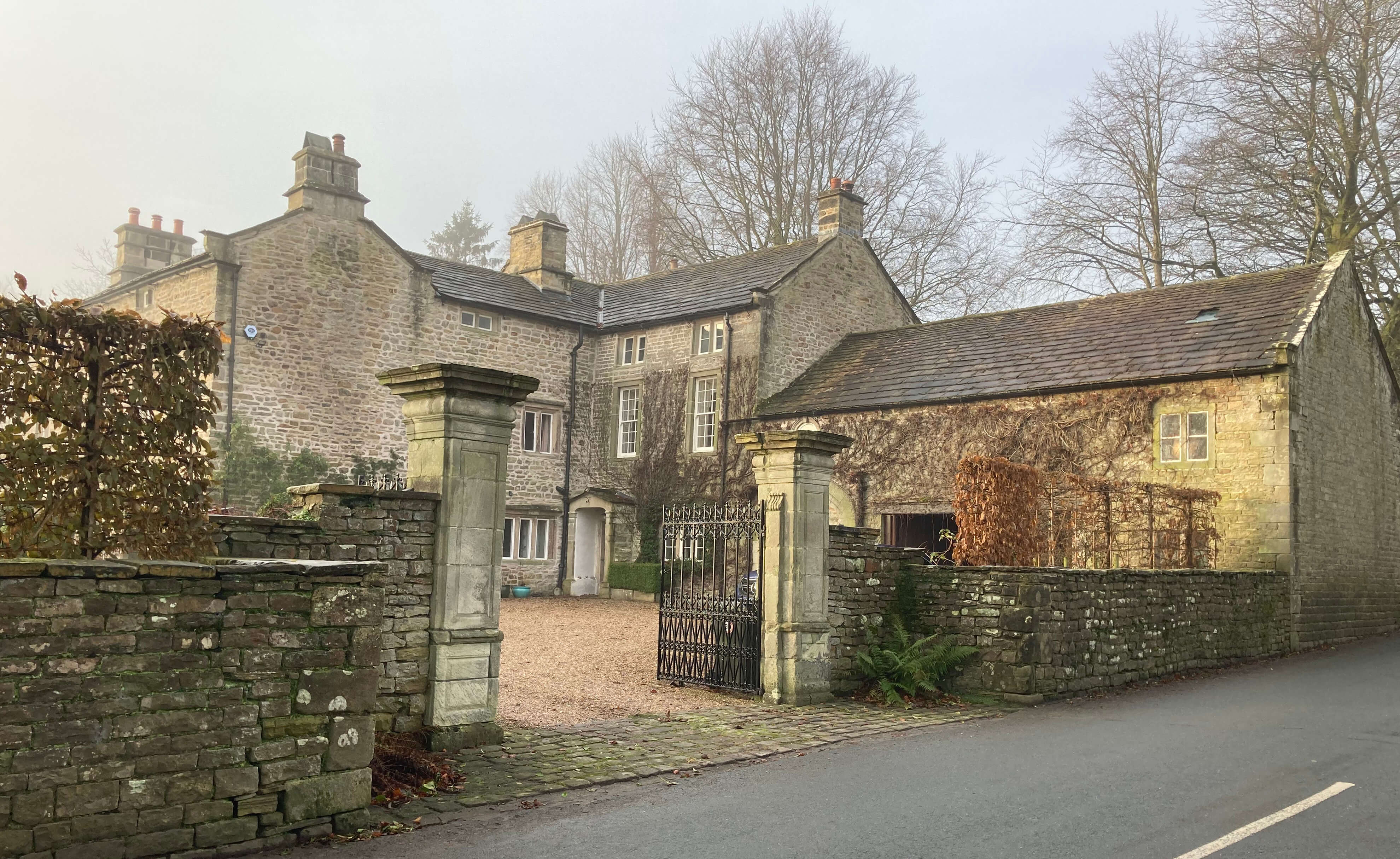
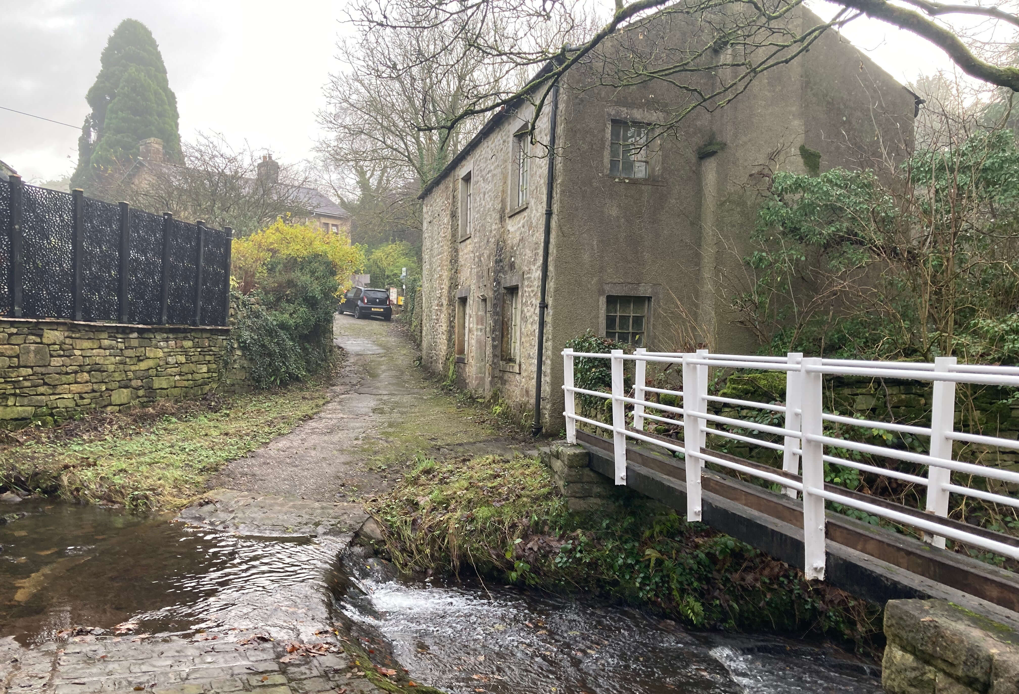
Left: Gressingham Hall, a listed building. (The gate piers are separately listed
because of their 'pulvinated friezes', which you can clearly see. Actually, I can't. 'Pulvinated'
apparently means "characteristically convex, appearing swollen or stuffed in profile".
I suppose 'swollen friezes' wouldn't sound so impressive.)
Right: Ford and footbridge over Gressingham Beck. The building beyond bears a date of
1667 and has been derelict for some time.
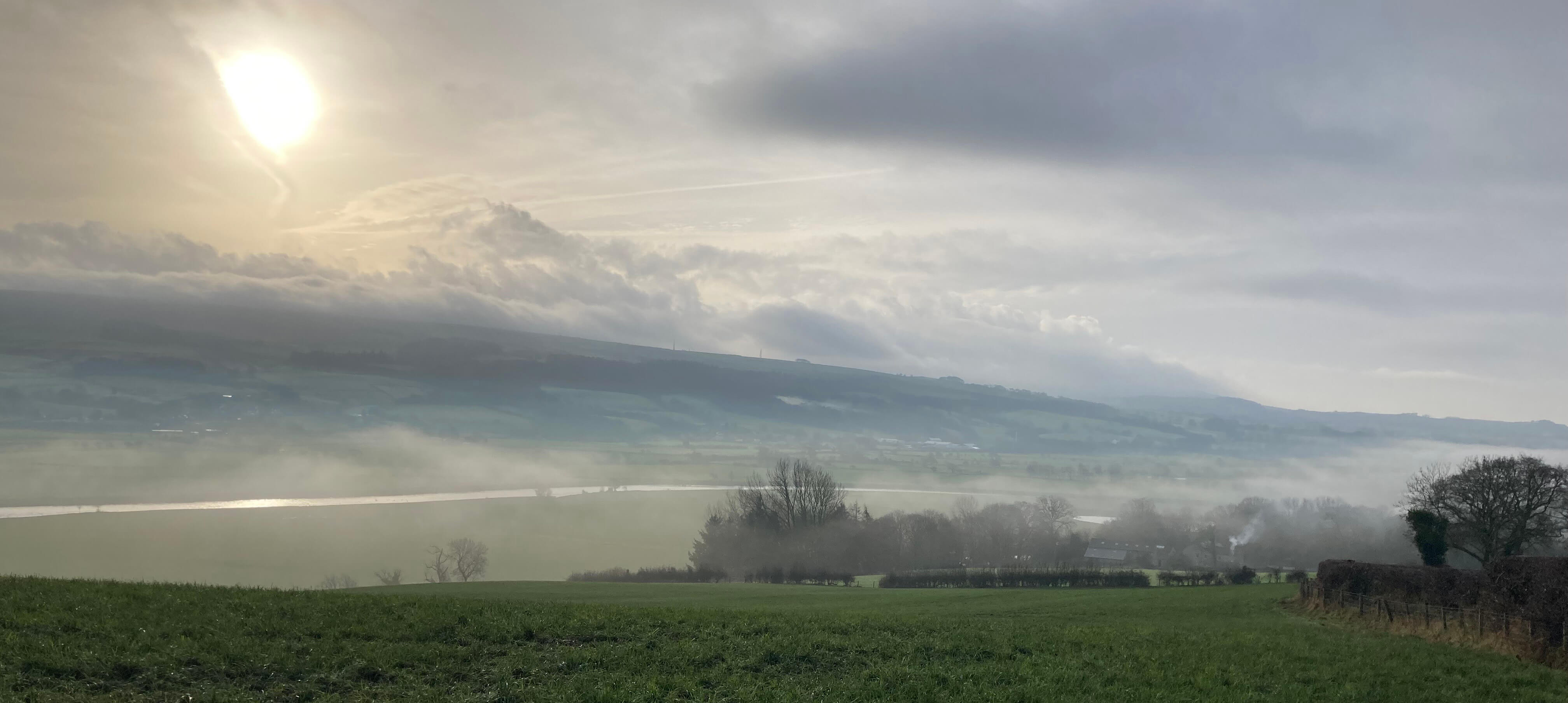
The Lune valley, approaching The Snab, Claughton Moor opposite
From The Snab I passed the pond, disturbing its birds, and crossed over to the river. From here it was a very peaceful and pleasant, if muddy, two-mile walk alongside the river, seeing nobody at all, back to Loyn Bridge and then into Hornby for a cappuccino before my bus.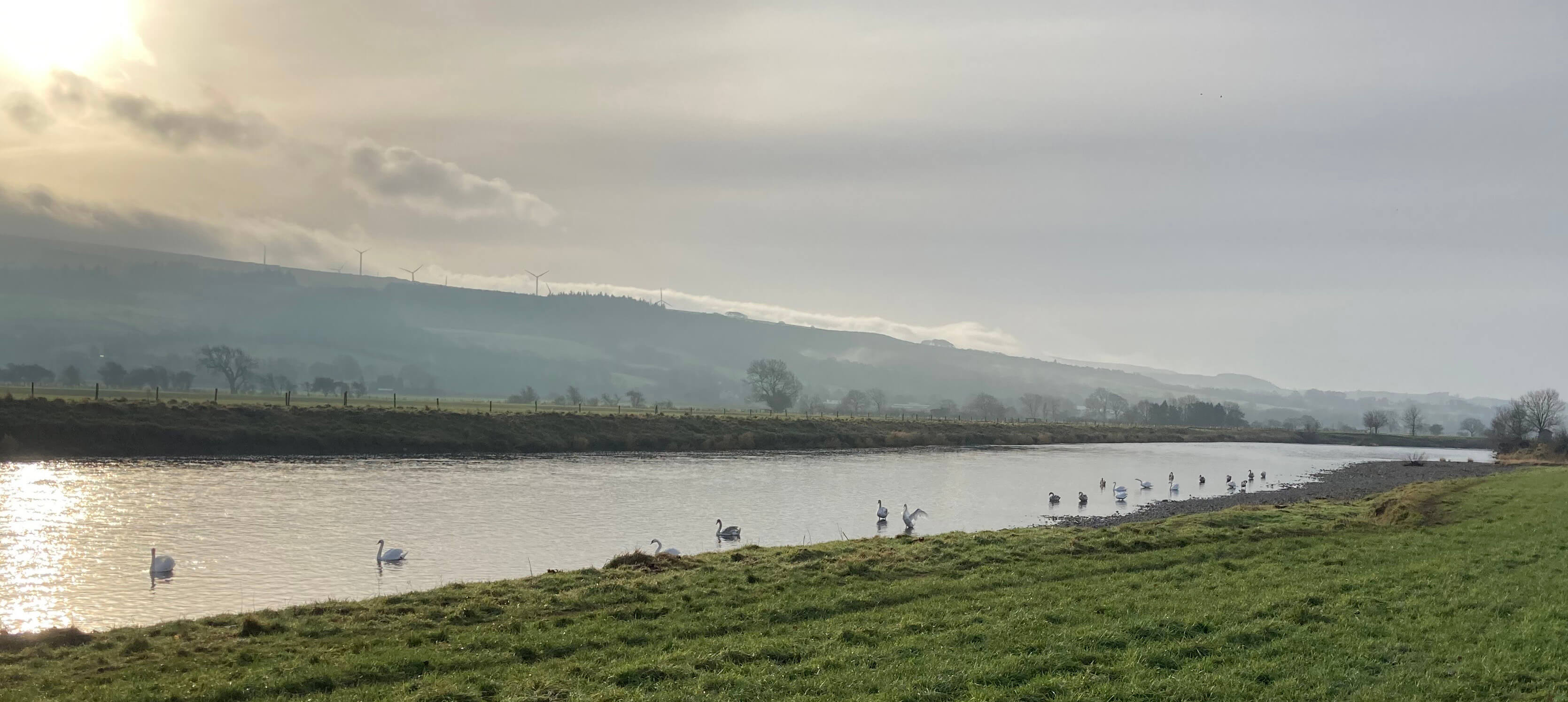
Swans on the Lune

The Wenning joins the Lune (Hornby Castle is on the skyline, in the middle)
You may be thinking: What about the Gressingham duck? This graces the best menus and makes the name of Gressingham known throughout the land or at least to those who peruse the best menus. Well, yes – but the duck doesn’t have anything to do with the village of Gressingham today. The duck was bred here as a cross between a mallard and a Peking duck (I am surprised that a Peking duck would associate with a mallard) but in the 1980s was transferred, duck and name, to Suffolk. The duck must have been banished by the Gressingham villagers for bringing unwanted fame to this secretive place.
Home Preamble Index Areas Hills Lakes Dales Places Map References Ramblings Me Drakkar
© John Self, Drakkar Press, 2018-

Top photo: Rainbow over Kisdon in Swaledale; Bottom photo: Ullswater