Home
Preamble
Index
Areas
Hills
Lakes
Dales
Places
Map
References
Ramblings
Me
Drakkar
Saunterings: Walking in North-West England
Saunterings is a set of reflections based upon walks around the counties of Cumbria, Lancashire and
North Yorkshire in North-West England
(as defined in the Preamble).
Here is a list of all Saunterings so far.
If you'd like to give a comment, correction or update (all are very welcome) or to
be notified by email when a new item is posted - please send an email to johnselfdrakkar@gmail.com.
212. The Moor the Merrier
(Well, it's nearly Christmas)
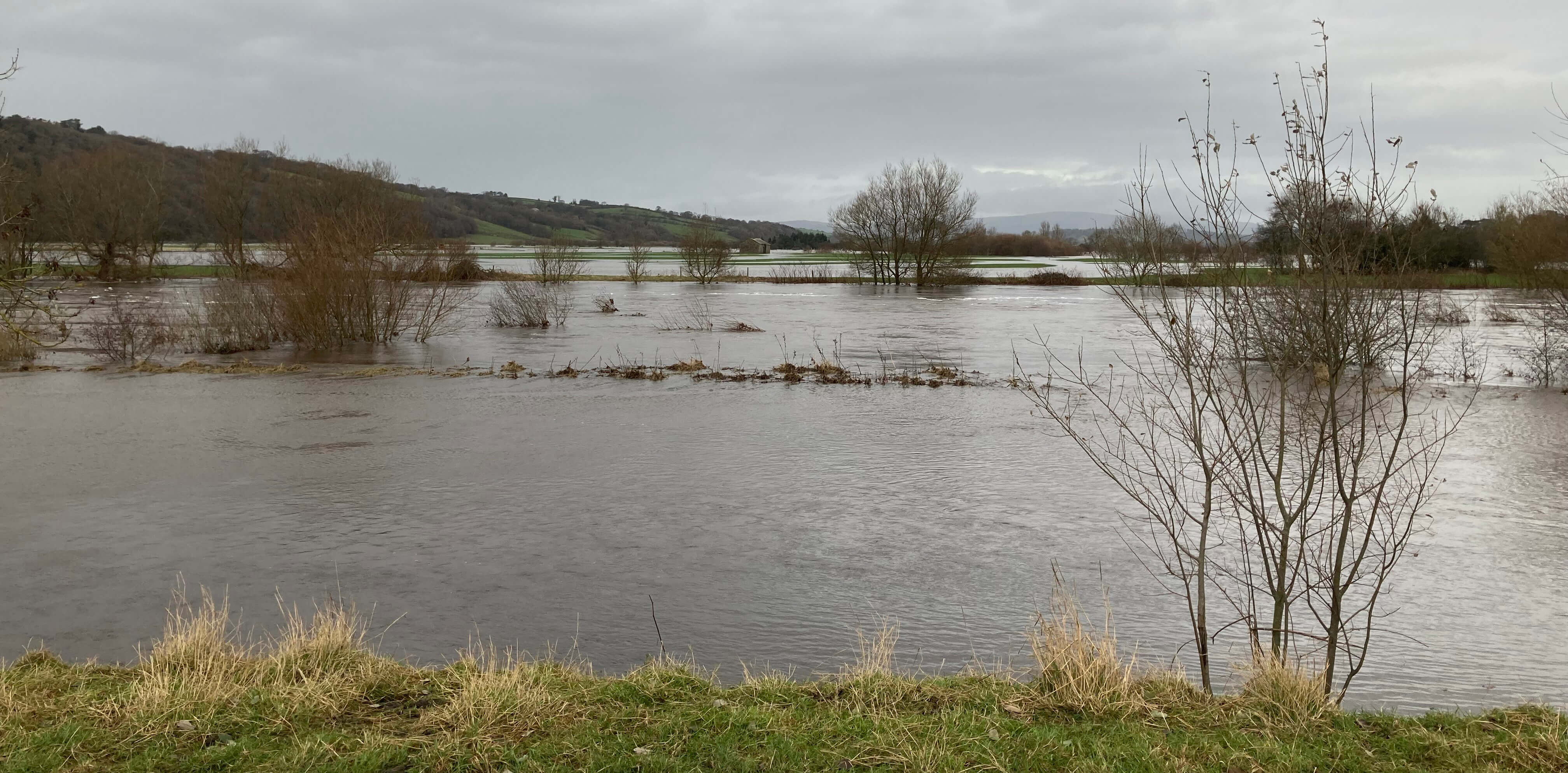
Storm Bert has passed on, but not before drowning the fields in the valley and tearing the
last leaves from the trees. The fields have since reappeared but the trees will have to wait a
few months to get their leaves back. The sun is now shining – but where shall I walk?
The riverside fields will be waterlogged and the moors still boggy.

The valley a couple of days ago
I settled for a walk up and around Caton Moor on quiet roads and tracks. The hills (Howgills,
Barbon Fell and Gragareth) at the head of the valley soon came into view, looking appealingly
freshly cleansed. As the road curved up towards the windmills views of the valley below
opened out, with my home village neatly nestled within. Beyond the hills opposite, Black
Combe was clear but the central Lakeland hills were indistinct among scattered white clouds,
while rain clouds were settled over Morecambe Bay.

The Lune valley, with Brookhouse to the left
In recent weeks I have walked regularly up this road in order to get back into walking action.
On a familiar walk it is possible to relax and reflect. When I started Saunterings in 2018
I wrote a number of guidelines for myself, to help ensure some consistency of style. One of
them was: “don’t metacomment”. By that I meant that I should write about the walk and any
issues arising but not ruminate on the nature of Saunterings itself. I should just let its
nature emerge or evolve.
For the first two years Saunterings proceeded more or less as suggested in the
Preamble. Then, of course, covid caused a
re-think – of Saunterings and much else. In
2022-2023 I tried to resume Saunterings as before but somehow it seemed different. And
now in 2024 I haven’t managed to walk much or for more than six miles which is shorter than
all the walks in 2018 and 2019 (probably: I haven’t
checked carefully). It has given me plenty
of time to think about the nature and future of Saunterings.
At the end of the road I walked on to the track up, for the first time this
year. The track itself looked the worse for wear, probably because Storm Bert has
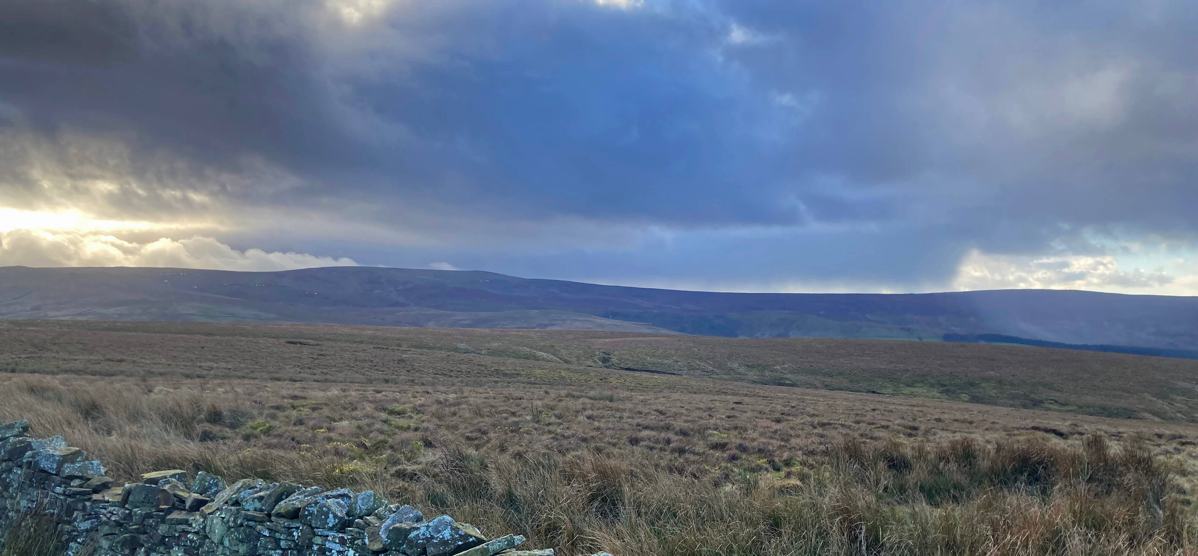
washed some of it away. To the right grey clouds sat on Ward’s Stone and on the dark
moors I could just make out a few remaining patches of snow. To the left the sky was
an unnatural blue that no camera could capture – or if it did you’d suspect the colours
had been doctored.

Clouds over Ward's Stone
As usual, there was nobody about on the track and it was totally silent. I continued up to
the highest point of the track but did not leave it to plod over to the trig point.
Instead, I carried on over to the other side of the moor, with views ahead of Whernside,
Ingleborough and Pen-y-ghent, partially in cloud.

The distant view towards Whernside, Ingleborough and Pen-y-ghent
This year my thoughts on Saunterings have oscillated between positive and negative, as
you may have noticed. There have been periods when new postings have been rattled out
week-by-week – and other periods with nothing for a couple of months. Overall, I
have struggled this year to keep Saunterings alive, feeling it almost a commitment,
which, of course, it shouldn’t be.
In the positive phases I have looked forward to when my temporary limitations
were over and I could get back tramping the hills and dales again. It’s been so long
that it’ll feel like starting afresh. I studied my maps and drew up lists of 200
hills,
200 lakes,
200 dales, and
200 other places in the region that a walker
might aim to visit. I found that I have visited 227 of the 800 during the course of
these Saunterings. So only 573 to go!
There were plenty of signs on the ground of the Highland cattle that roam
these moors but no sign of the cattle themselves. Perhaps they’ve been moved from
the moor as even Highland cattle may need protection from Storm Bert. The track
over the moor seemed longer than I remembered but I didn’t mind at all. For the
first time since January I felt able to stride out ‘indefinitely’. I did not feel
concerned that any step might twinge my back or that the whole walk would stiffen it up.
On the other side of the moor there were views of Roeburndale and
beyond – all mainly under cloud. I dropped down to the gate onto the Roeburndale
Road, where there was a notice advising me of the restrictions that apply to those
entering access land. I must have passed similar notices many times before without
ever pausing to read them. I was in no hurry so I paused for a read and a snack.
There was a list of eighteen things I must not do, including (number 15) “engaging
in riotous, disorderly or indecent conduct”. But I was leaving, not entering,
access land so I could misbehave as I wished.

Looking back to Roeburndale
The road back over the moor is a delightfully airy one, with very little traffic (none
at all while I was on it) since the road peters out just to the east. There were views
across the Littledale valley to the moors opposite, ominously black, since the sun,
although at its highest, was not much above Ward’s Stone.
As I approached the cattle-grid I heard a strange whistle. It sounded a bit
like a lapwing but surely couldn’t be at this time of the year. The whistling continued,
varied and piercing, as I approached its source. Then I could hear, amongst the
whistles, some gruff shouts, perhaps with words that might make a sheep-dog blush. Yes, it was
a shepherd doing his best to get his dog to behave. This was, in fact, the second of
three shepherds plus dogs that I saw in action on this walk.

The whistler (his sheep are in the distance, just above and to the left
of his head)
In the negative phases that I mentioned I have contemplated the prospect of not being
able to walk sufficiently to justify the travelling and the writing. In anticipation of
that unhappy state, I adapted the old 'Rainy Day Rambles' into a more mobile-friendly
'Ramblings', a set of fictions even more light-hearted than Saunterings. I can add
to Ramblings without walking anywhere. (I have added a link to Ramblings, and to
the Hills, Lakes, Dales and Places, in the banner at the top and bottom of these pages.)
I had always taken the ability to walk prodigious distances for granted.
I have now learned to be grateful for whatever I can do.
Today, invigorated by my near-enough-trouble-free,
longest-walk-since-January circuit of the moor, it’s onwards and upwards.
Date: November 26th 2024
Start: SD543644, Brookhouse (Map: OL41)
Route: E on Quarry Road – picnic spot – SE, S on track – Roeburndale
Road – W past Roeburn Glade – Littledale Road – NW, N, NW - Brookhouse
Distance: 7.5 miles; Ascent: 250 metres
Home
Preamble
Index
Areas
Hills
Lakes
Dales
Places
Map
References
Ramblings
Me
Drakkar
© John Self, Drakkar Press, 2018-

Top photo: Rainbow over Kisdon in Swaledale;
Bottom photo: Ullswater


