
Home
Preamble
Index
Areas
Hills
Lakes
Dales
Places
Map
References
Ramblings
Me
Drakkar
Saunterings: Walking in North-West England
Saunterings is a set of reflections based upon walks around the counties of Cumbria, Lancashire and
North Yorkshire in North-West England
(as defined in the Preamble).
Here is a list of all Saunterings so far.
If you'd like to give a comment, correction or update (all are very welcome) or to
be notified by email when a new item is posted - please send an email to johnselfdrakkar@gmail.com.
211. Bigland: Hall, Tarn, Heights, Barrow, Allotment and Woods
 The map suggests that anyone visiting Bigland will not easily forget the name of the
region while they are there. Almost everywhere is named Bigland Something-or-other.
Bigland is, in fact, a small region within the Cartmel peninsula – a peninsula that
seems more detached than it was from central Lakeland now that the newish dual
carriageway of the A590 cuts across the north. The National Park boundary is
actually south of the A590 and just includes Bigland.
Bigland Hall is of the 16th century and was for centuries the seat of the
Bigland family (who else?). I don’t know if it still is or what the state of the
hall is today because although it is more or less at the top of Bigland Heights it
seems skilfully positioned so that it cannot be viewed from any public footpath.
I walked on to Bigland Tarn. This seems to be a natural body of water,
surprisingly large considering that it is only a few metres below the highest
point (205 metres) of Bigland Heights just to the south of the tarn. It is a
quiet, pleasant, pretty tarn and I noticed no activity (fish, bird or human) in,
on or around the tarn. It was, however, a cloudy day, unlike yesterday (when
the photo below was taken), when we briefly visited the riding stables, at which I had left Ruth today.
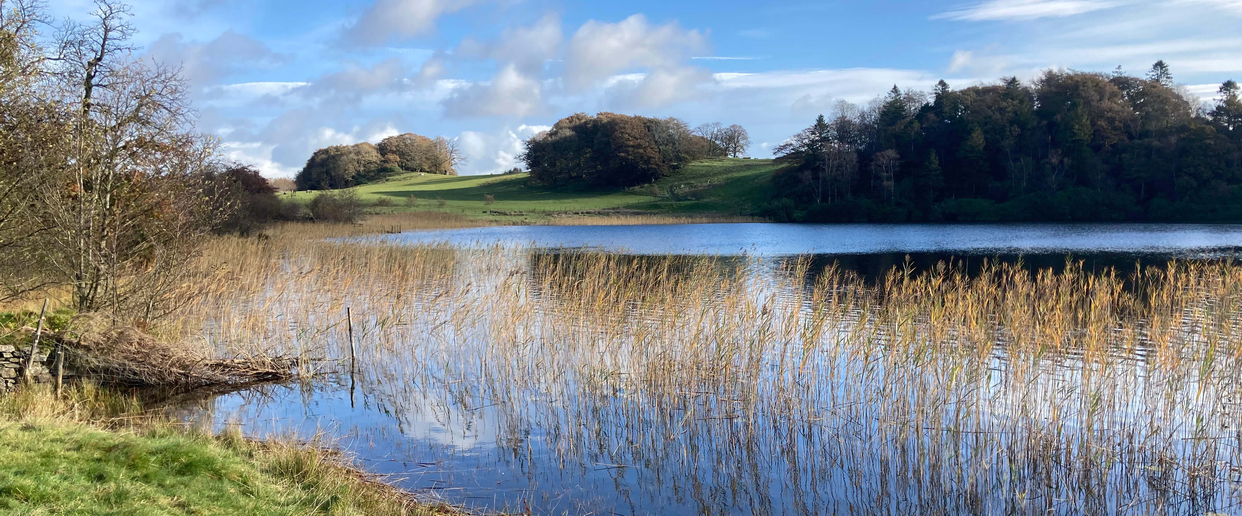
Bigland Tarn
The path crossed open moorland with views of the Leven estuary (but not beyond) and
then dropped down through a delightful, open woodland, again totally quiet, with nobody about,
and with the hazel and oak in as fine autumn colours as they could manage under the
cloud. The path emerged at the homestead of Grassgarth where if it did not continue
through the garden then I apologise to the owners of Grassgarth for trampling it.
I could see no other way onward.
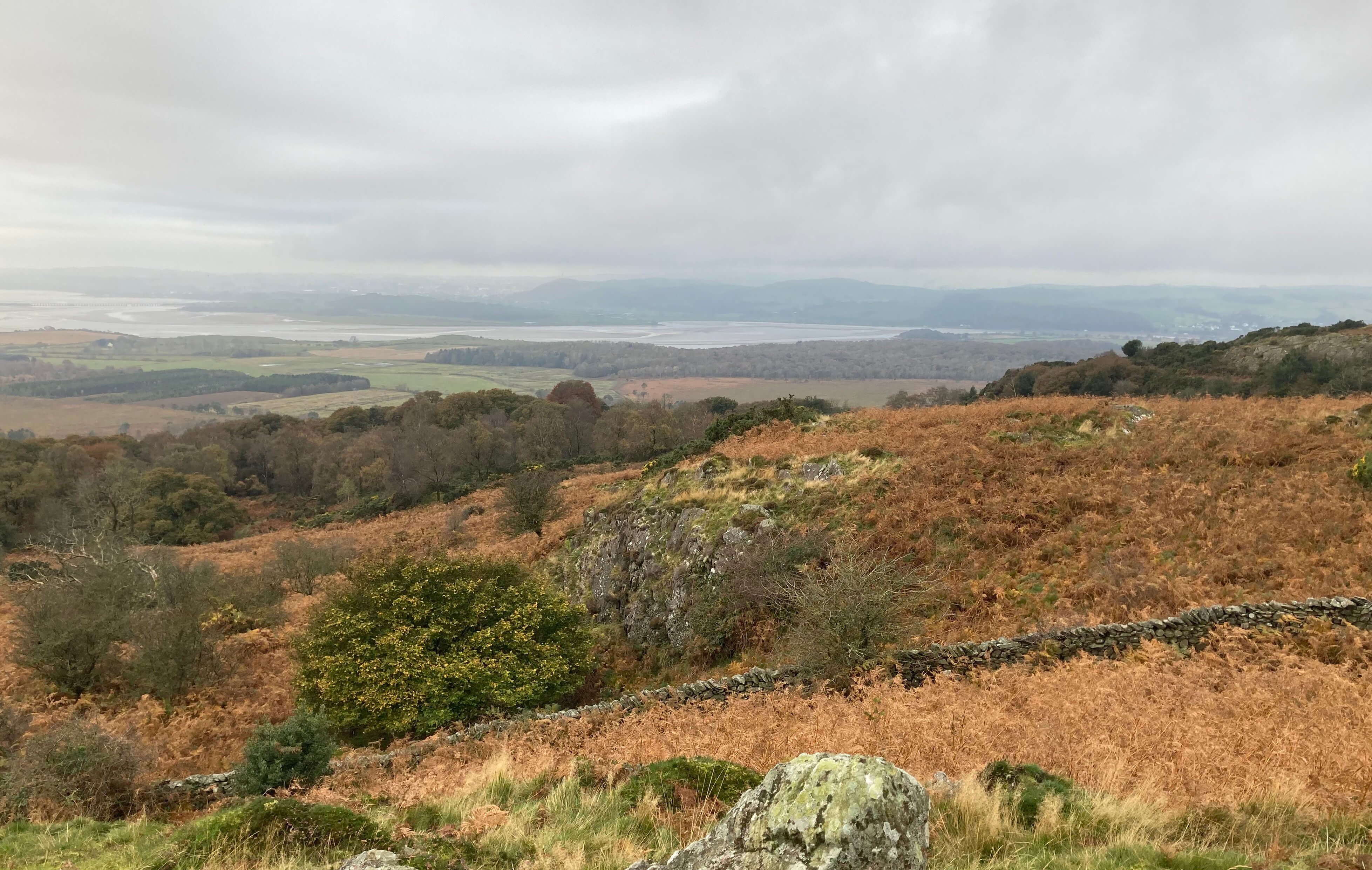
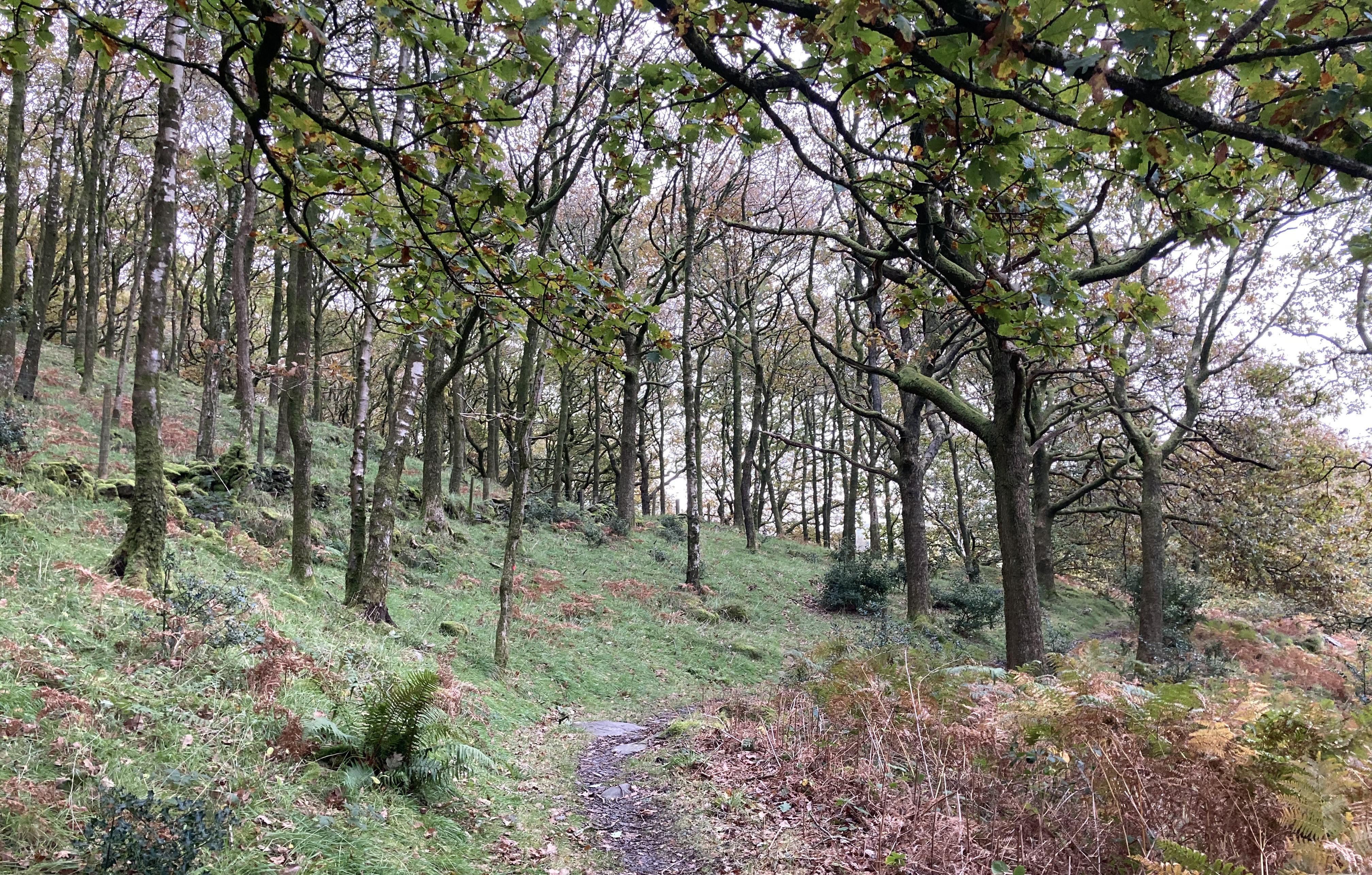
Left: A view of the Leven estuary; Right: The path
through the wood to Grassgarth.
Along the lane from Grassgarth a rather mysterious semi-industrial facility, plus half-built
mansion, was taking shape – hardly what one expects to see in this isolated, rather
rugged, wilderness of scrubs and bracken. A little further on I came upon a gate into this wilderness with
two signs that took my fancy. One said the land was under “active wildlife management”,
which made me wonder what inactive management entails. I couldn’t see any sign of
activity. The land, called Outley Mosses on the map, looked abandoned to me. The other
sign said “Please keep to the bridleway and dogs under control”, which I thought was
neatly grammatical.
Anyway, I wasn’t walking there. I turned to walk north along the narrow road
for a mile, being passed by only one car. I headed for a second lake, unnamed on the
map but marked as a fishery. This proved to be a struggle, with progress slow along
a path almost lost in the dying bracken. At least the bracken was dying – when it is
high the path must be impossible. Also, it was clear that cattle wandered about here (and
I could hear the occasional moo) and I expected to encounter a herd of them around
every bend – but I never did, which was a relief, as progress would be even worse
off the so-called path.
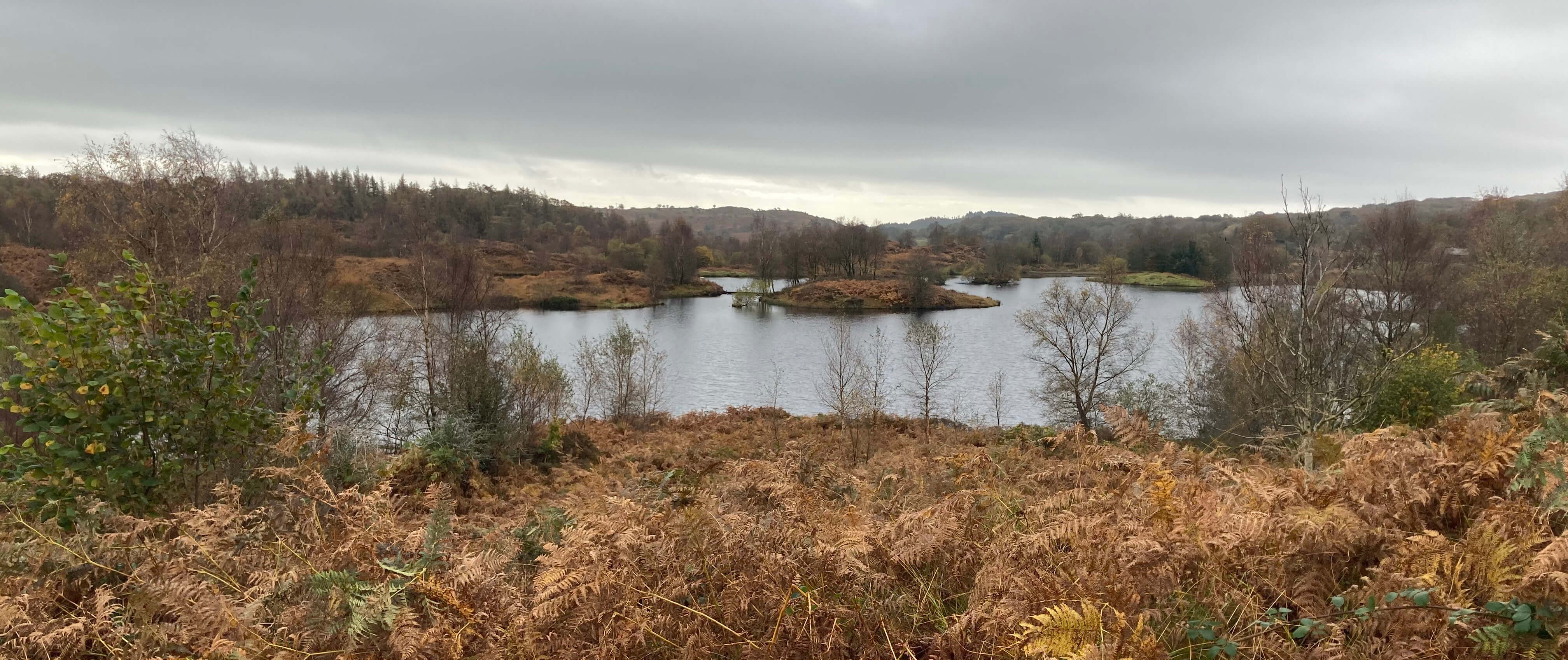
The unnamed lake
I crossed Black Beck, which flows into or out of the lake – I didn’t notice which as
I was so focussed on not losing the path. The lake looked rather gloomy and is, I
suspect, not natural.
I was relieved to reach the much clearer path that runs below
Bigland Barrow on Bigland Allotment, but I soon left it to walk on open access land
to the top (193 metres) where there is a derelict wartime observation tower. I don’t
know what the wartime observers observed but I could observe nothing at all. Wainwright’s
Outlying Fells (1974) lists about thirty Lake District tops, from Black Combe to the
west to the Kentmere hills to the east, observable from this renowned viewpoint,
described as a “breathtaking panorama” and “truly magnificent” by Gambles (1994).
They were all lost in cloud for me.
Wainwright (1974) also comments, in his book for the
elderly fellwalker, “How are the mighty fallen, that we should be nowadays content
with such! Remember when we used to trot up Great Gable?”. I was never mighty and
I never trotted up Great Gable either. I take each hill on its merits, and Bigland
Barrow had none that I could see. The old observation tower may sound exciting but
in reality it is an eyesore.
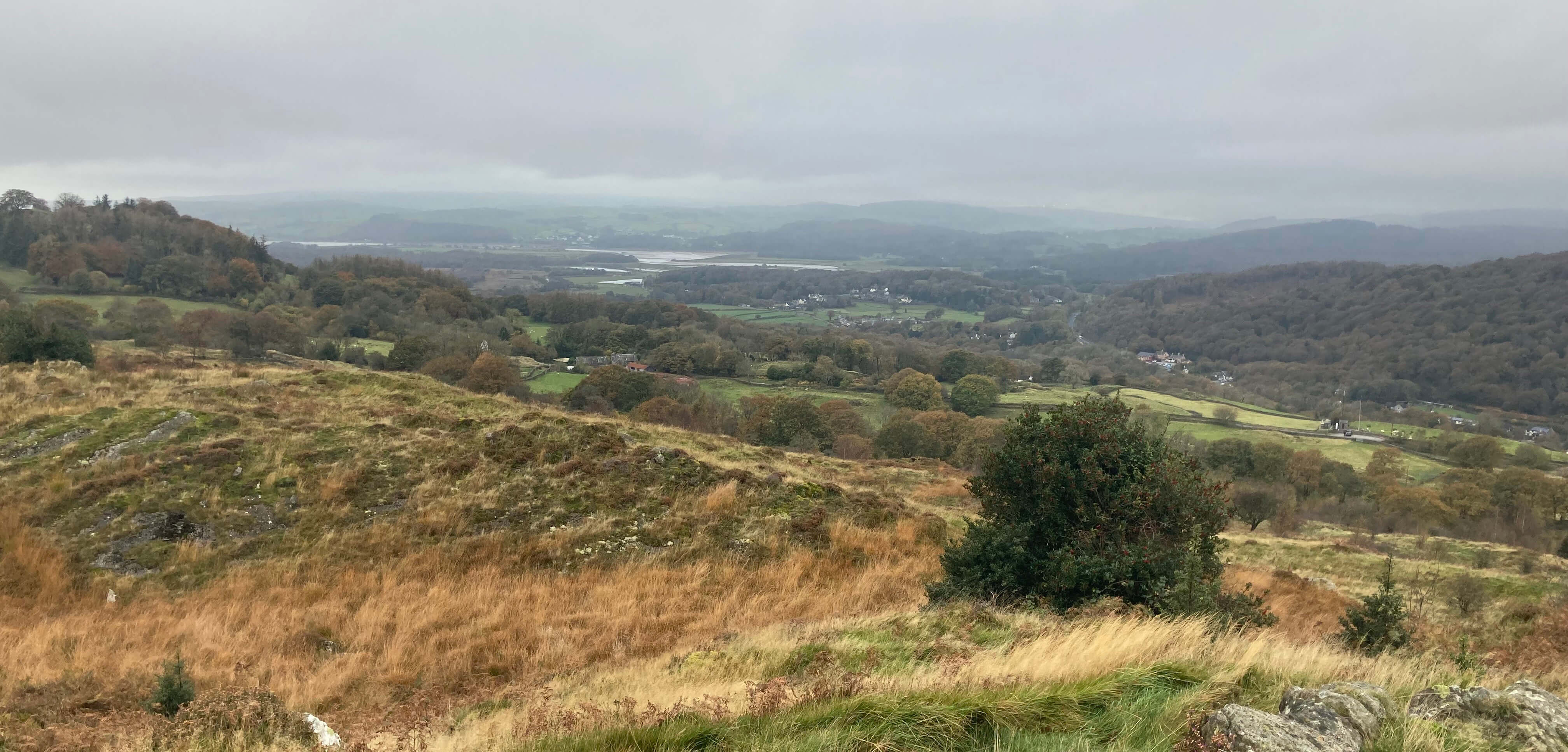
The 'view' from Bigland Barrow
I was behind schedule, so headed through High Gate back to the riding stables. (Readers paying attention
may notice that I haven’t referred to the Bigland Woods of the title: I had to skip
that part.) On the way back I passed a sign to “Otter Tarn 5 Star Lakeland Retreats”.
I assume that Otter Tarn refers to the retreats, not the unnamed lake. It would be
perverse to name a fishery after a species that consumes fish. To get into the spirit
of the place the retreats should really be named Bigland Something-or-other.
I waited for Ruth at the stables. The ride had been longer that expected (the
group had had to detour back to the stables because one horse wasn’t in the mood) and
longer than Ruth is used to. After dismounting, Ruth for some time moved slowly as
if her legs were around an invisible horse.
Date: October 23rd 2024
Start: SD356833, Bigland riding stables (Map: OL7)
Route: SW – Bigland Tarn – S across Bigland Heights, SE through
High Stribers Wood – Grassgarth – E – road – N, NW – unnamed lake on Back Reddings
Allotment – W – track – N – Bigland Barrow – S – track – SW – High Gate – W – riding stables
Distance: 4 miles; Ascent: 55 metres
Home
Preamble
Index
Areas
Hills
Lakes
Dales
Places
Map
References
Ramblings
Me
Drakkar
© John Self, Drakkar Press, 2018-

Top photo: Rainbow over Kisdon in Swaledale;
Bottom photo: Ullswater


 The map suggests that anyone visiting Bigland will not easily forget the name of the
region while they are there. Almost everywhere is named Bigland Something-or-other.
Bigland is, in fact, a small region within the Cartmel peninsula – a peninsula that
seems more detached than it was from central Lakeland now that the newish dual
carriageway of the A590 cuts across the north. The National Park boundary is
actually south of the A590 and just includes Bigland.


