
Home
Preamble
Index
Areas
Dales
Hills
Lakes
Places
Reserves
Rivers
Structures
Villages
References
Me
Saunterings: Walking in North-West England
Saunterings is a set of reflections based upon walks around the counties of Cumbria, Lancashire and
North Yorkshire in North-West England
(as defined in the Preamble).
Here is a list of all Saunterings so far.
Guaranteed ad-free, AI-free and free!
If you'd like to give a comment, correction or update (all are very welcome) or to
be notified by email when a new item is posted - please send an email to johnselfdrakkar@gmail.com.
237. Stainforth and Salmon
On this winter's first scraping-ice-off-the-car morning we set off to the Yorkshire Dales
to enjoy the first forecast blue skies for days. We parked at Stainforth, where the machine
kindly refused to let us pay, and crossed the road and railway line to reach the River Ribble.
I was pleased to see that the glaring white repair (seen on my last visit here in
2018 [8]) to the
graceful ancient bridge after its
parapet had been knocked down has now weathered to match the older stonework.
This 17th century bridge was on the monks’ route between their Yorkshire abbeys and the Lake District.
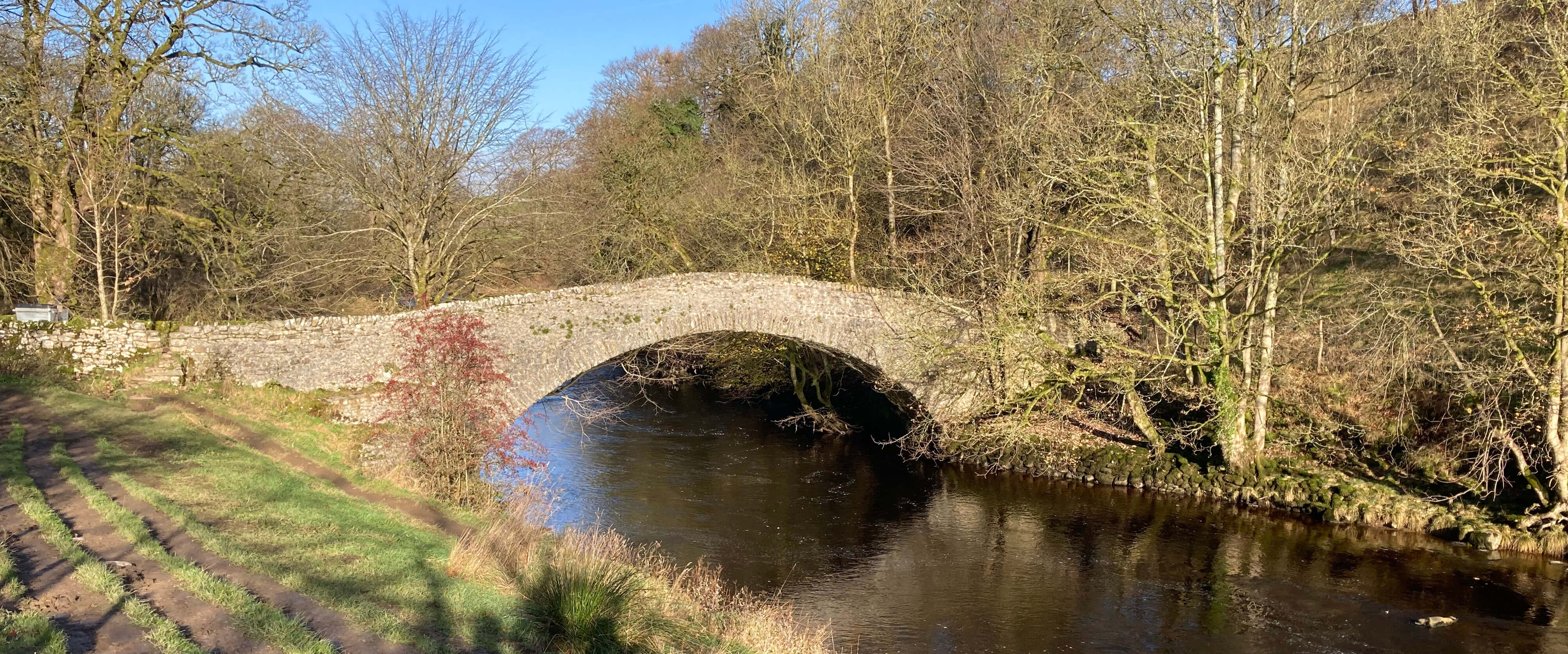
Stainforth Bridge
Below the bridge the Ribble tumbles over a series of limestone ledges to form Stainforth
Force. This is known as one of the best sites in north-west England to see salmon leaping
upriver. We did indeed watch for some time – but we saw no salmon. Perhaps the river was
not high enough? Perhaps it was too late in the season? Perhaps we weren’t
patient enough? Perhaps there just aren’t many salmon nowadays?

Stainforth Force
Like all of England’s salmon rivers, the Ribble has experienced a significant drop in the
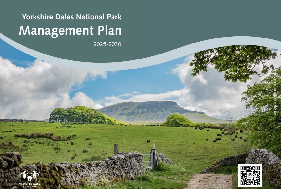
numbers of salmon in recent years. I had just been reading the recently-published
Yorkshire
Dales National Park Management Plan 2025-2030 and wondered what plans there were to help the salmon.
 The document says that the Management Plan was developed by a partnership of seventeen
organisations (Cumbria Tourism Businesses, Environment Agency, Forestry Commission,
and so on). Naturally, with so many organisations, each with their own agenda, coming
together to form an agreed plan there is a watering down of bold objectives. It is
tempting to regard the outcome as vague platitudes – but it is important for groups
to reach some consensus to form the basis of decision-making.
The document says that the Management Plan was developed by a partnership of seventeen
organisations (Cumbria Tourism Businesses, Environment Agency, Forestry Commission,
and so on). Naturally, with so many organisations, each with their own agenda, coming
together to form an agreed plan there is a watering down of bold objectives. It is
tempting to regard the outcome as vague platitudes – but it is important for groups
to reach some consensus to form the basis of decision-making.
The plan lists six ‘ambitions’ for what the National Park should look like by 2040:
- Finest Wildlife: Home to the finest variety of wildlife in England.
- Climate Mitigation: Resilient and responsive to the impacts of climate change,
storing more carbon each year than it produces.
- Welcoming Place: A friendly, open and welcoming place with outstanding
opportunities to enjoy its special qualities.
- Cultural Landscape: A distinctive, living, working, cultural landscape that
tells the ongoing story of generations of people interacting with their environment.
- Flourishing Economy: Providing an outstanding range of benefits for the
nation based on its natural resources, landscape and cultural heritage, which underpin a flourishing local economy.
- Strong Communities: Home to strong, self-reliant and balanced communities
with good access to the services they need.
OK. The document then goes on to list ways in which each of the ambitions will (or may)
be achieved. Our salmon would presumably be addressed under ambition 1 (Finest Wildlife), so I looked at
the ways this was to be achieved. Of the eight
ways mentioned, only the fifth specifically addresses rivers. It simply says “Work with
farmers, landowners and water companies to improve the condition of rivers”. Who could
argue with that? But aren't we doing that already? What new initiative is
proposed to improve the Dales rivers and to help the salmon?
The six ambitions are derived from six
‘evidence reports’.
The one for Finest
Wildlife does not mention salmon at all. Perhaps that is fair enough. If salmon are
disappearing from all English rivers then the cause probably does not lie with specific
rivers such as the Ribble. Perhaps there is some global change affecting the salmon’s migratory routes?
If I were in a disputatious mood – as I usually am when reading such reports – I think
I could find something to quibble about in almost every paragraph. For just one example, the
third evidence report states that “77% of visitors [to the Yorkshire Dales] were over 45 years old” and the Welcoming
Place ambition lists a number of actions that seem intended to attract younger folk. How
do they derive that 77%? I have been to the Dales hundreds of times and nobody has
ever asked my age.
The figure of 77% in fact comes from a survey carried out in 2022, the methodology for which is
described at this website.
In all, 651 interviews were carried out at 12 locations. The total number of visitors to the Dales
is estimated at five million each year (so 651 is 0.00013 of the total). The 12 locations were all
low-level, touristy ones. Maybe all the youngsters
were on the top of Ingleborough or down pot-holes. The interviews required responses (sometimes multiple ones) to
26 questions. Who visits the Dales to waste time answering all these
impertinent questions?
In any case, is the implication that
the Yorkshire Dales needs to make special efforts to attract younger visitors sound? If 77% of
Blackpool visitors were under 45 then does it follow that Blackpool should strive to attract oldies?
We left the salmon (if there were any) to struggle for their own survival, without
much specific help apparent in the National Park Management Plan, to walk south by the river.
We first passed a campsite (or caravan park) where we were intrigued by a small ball-shaped
cabin, too small, it seemed, to lie flat in. It was a sauna – not a facility we had in our
camping days. Do younger folk expect saunas at campsites nowadays?
We strolled pleasantly along, accompanied by the jaunty river, crossing it at the
Langcliffe weir. It is at this weir that salmon make their leap of faith into the care
of the National Park. For the large majority of their life they are outside the
National Park and someone else's problem. For their time within the Ribble catchment they
are under the watchful eye of the
Ribble Rivers Trust.

The Trust wasn't one of the seventeen organisations, so I consulted its webpages to see if
it had specific plans to help
salmon. I found general comments such as "our efforts include habitat restoration - such as
planting trees along riverbanks to provide shade and reduce water temperatures - and water
quality improvements to create a healthier environment for both fish and other wildlife. Through
collaborative projects with local communities and other organizations, we are gradually
making our rivers safer and more accessible for salmon."
However, its Fisheries Monitoring report for 2024
finds that salmon numbers have fallen so much that there's an "urgent need for
conservation strategies such as habitat protection and restoration, which must be
sustained over the long term to achieve measurable improvements in salmon stocks."
This document gives detailed statistics - the team obviously includes a trained statistician! - but
you hardly need statistics to interpret the graph below. especially if you realise that the
y-axis doesn't start at 0, for some reason. The red dotted line is just about at 0 now.

A graph from the Ribble Rivers Trust's Fisheries Monitoring report for 2024
(copyright Ribble Rivers Trust)
What do salmon make of the Langcliffe weir? It looks a formidable leap to me.
Or are they supposed to negotiate the little step-waterfalls to the side? Anyway, this weir is
no longer needed. It was constructed in the 1780s to provide reliable power for the nearby
Langcliffe Mill, which closed in 1950. Perhaps a management plan could aim to get rid of redundant weirs?
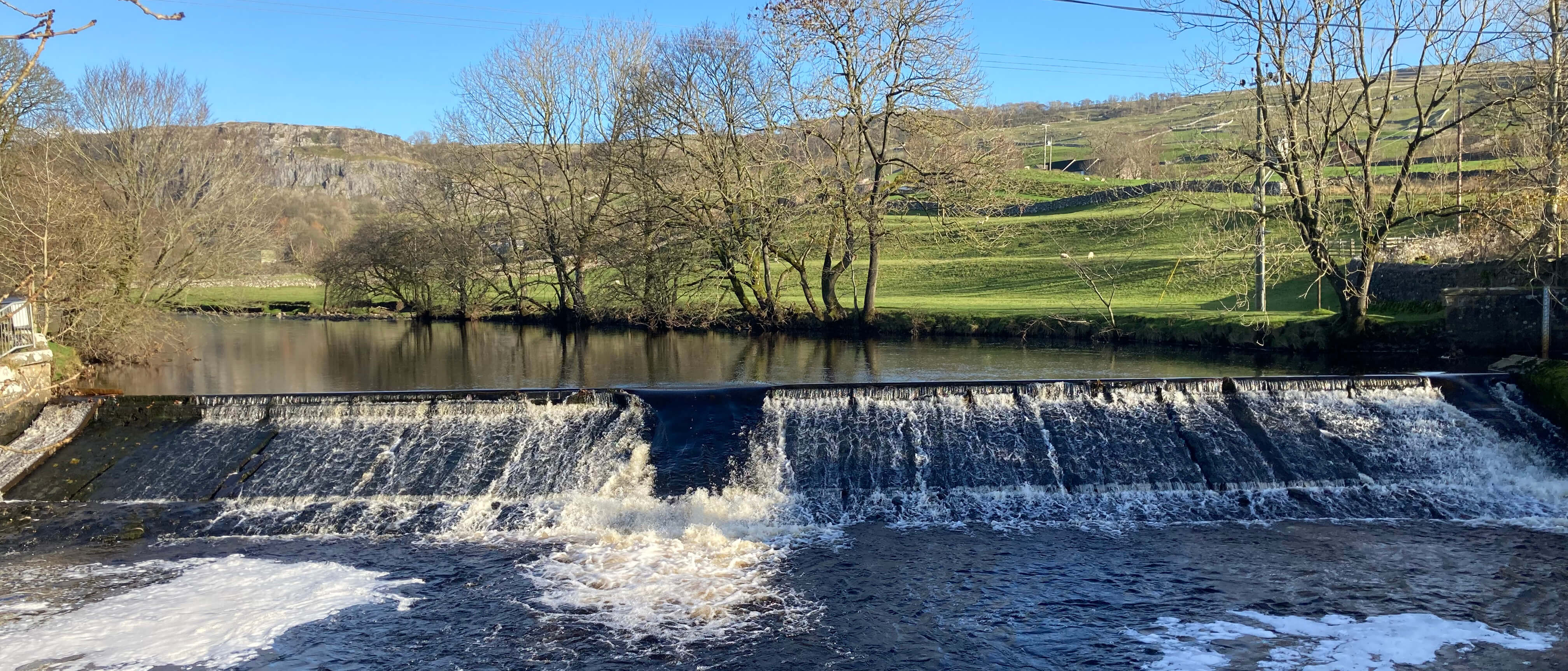
The Langcliffe weir
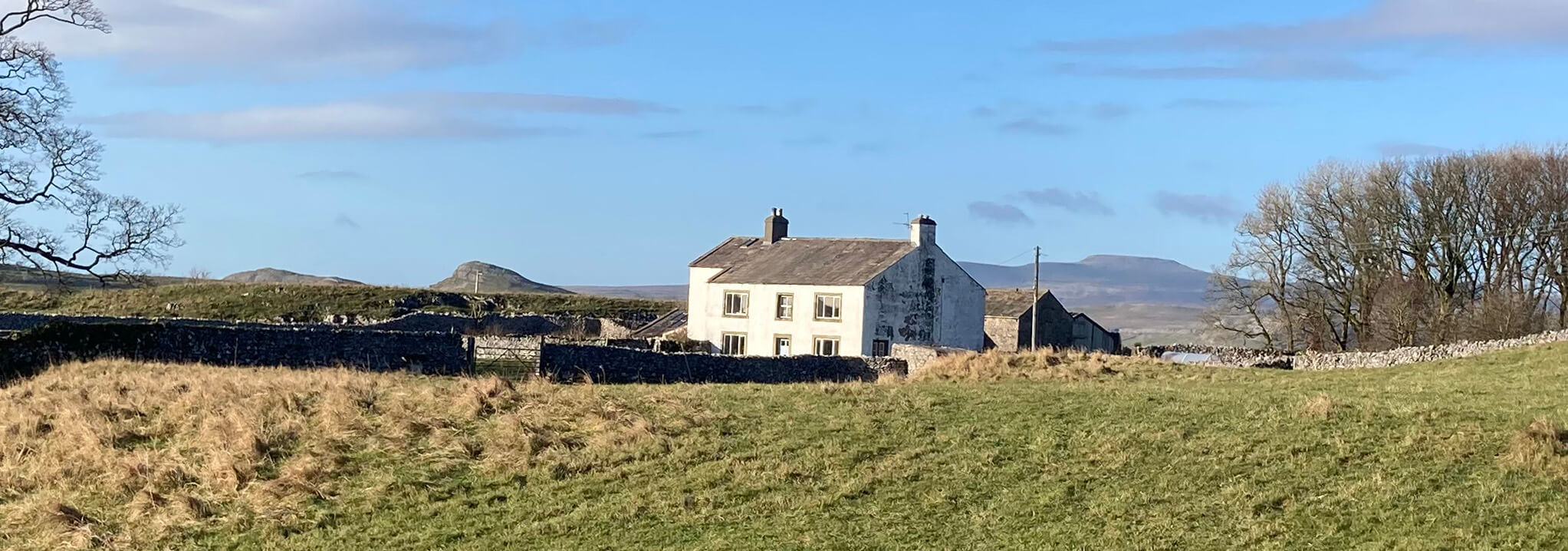
We left the river to return to Stainforth on the open eastern slopes. The Pike Lane track
climbs steadily, with views to the west opening out, with Smearsett Scar prominent and
eventually the flat top of Ingleborough beyond. The path levels out as it passes the white
Lower Winskill and the grey Upper Winskill, with the grand dome of Pen-y-ghent ahead. It
was an invigorating walk, with a slight breeze, a touch of frost on sheltered grass,
wide-ranging views and blue skies that we
knew would be but a brief interlude in days of cloud, rain and wind.

The view back towards Langcliffe
Lower Winskill, with Smearsett Scar to the left and Ingleborough to the right
Then our path dropped down to Catrigg Force, which was in impressive form, tumbling in two
six-metre drops within a narrow gorge. All descriptions of Catrigg Force seem to include
the comment that it is said that the composer Edward Elgar enjoyed walking here. They
never say who said it. Some descriptions say that the waterfall inspired some of his
compositions. But they never say which ones.
And so, after this short but satisfying stroll, we made our way down the track
to Stainforth, where we were relieved to see that nobody had objected to us not paying.

Catrigg Force
Date: November 17th 2025
Start: SD820672, Stainforth car park (Map: OL2)
Route: W – Stainforth Bridge – S on Ribble Way – Langcliffe weir – E, NE –
Lower Winskill, Upper Winskill, Catrigg Force – W – Stainforth
Distance: 4 miles; Ascent: 140 metres
Home
Preamble
Index
Areas
Dales
Hills
Lakes
Places
Reserves
Rivers
Structures
Villages
References
Me
© John Self, 2018-

Top photo: Rainbow over Kisdon in Swaledale;
Bottom photo: Ullswater