
Home
Preamble
Index
Areas
Dales
Hills
Lakes
Places
Reserves
Rivers
Structures
Villages
References
Me
Saunterings: Walking in North-West England
Saunterings is a set of reflections based upon walks around the counties of Cumbria, Lancashire and
North Yorkshire in North-West England
(as defined in the Preamble).
Here is a list of all Saunterings so far.
Guaranteed ad-free, AI-free and free!
If you'd like to give a comment, correction or update (all are very welcome) or to
be notified by email when a new item is posted - please send an email to johnselfdrakkar@gmail.com.
247. In the Footsteps of Romans on Crosby Ravensworth Fell
 Two thousand years ago a Roman engineer stood at the Tebay junction (J38) of the M6
and thought: now where? He needed to continue the road from the Low Borrowbridge
fort in the Lune Gorge towards Carlisle. He decided not to follow the M6 route nor
that of the West Coast railway line but instead to take his men up Crosby Ravensworth
Fell, up to a height of about 400 metres. We set out to follow in their footsteps.
Two thousand years ago a Roman engineer stood at the Tebay junction (J38) of the M6
and thought: now where? He needed to continue the road from the Low Borrowbridge
fort in the Lune Gorge towards Carlisle. He decided not to follow the M6 route nor
that of the West Coast railway line but instead to take his men up Crosby Ravensworth
Fell, up to a height of about 400 metres. We set out to follow in their footsteps.
We started from the village of Orton, two miles north of Tebay. Over
the decades one becomes particularly fond of certain places. Orton is one of them,
for me. It seems a quiet community, with some fine old buildings (Petty Hall
has a lintel saying 1604 but seems sadly neglected). I like the way the
houses are spread around a triangle of what has largely been left as a
marsh, with clear streams running through it.
Orton is known for its pioneering Farmers' Market, held monthly in the
Market Hall and outside. It was begun in 2001 to showcase the produce of
local farmers and artisan craftspeople. In that year it had to deal with a
supportive visit from the then Prince Charles and an outbreak of foot-and-mouth
disease but since then the market has thrived.
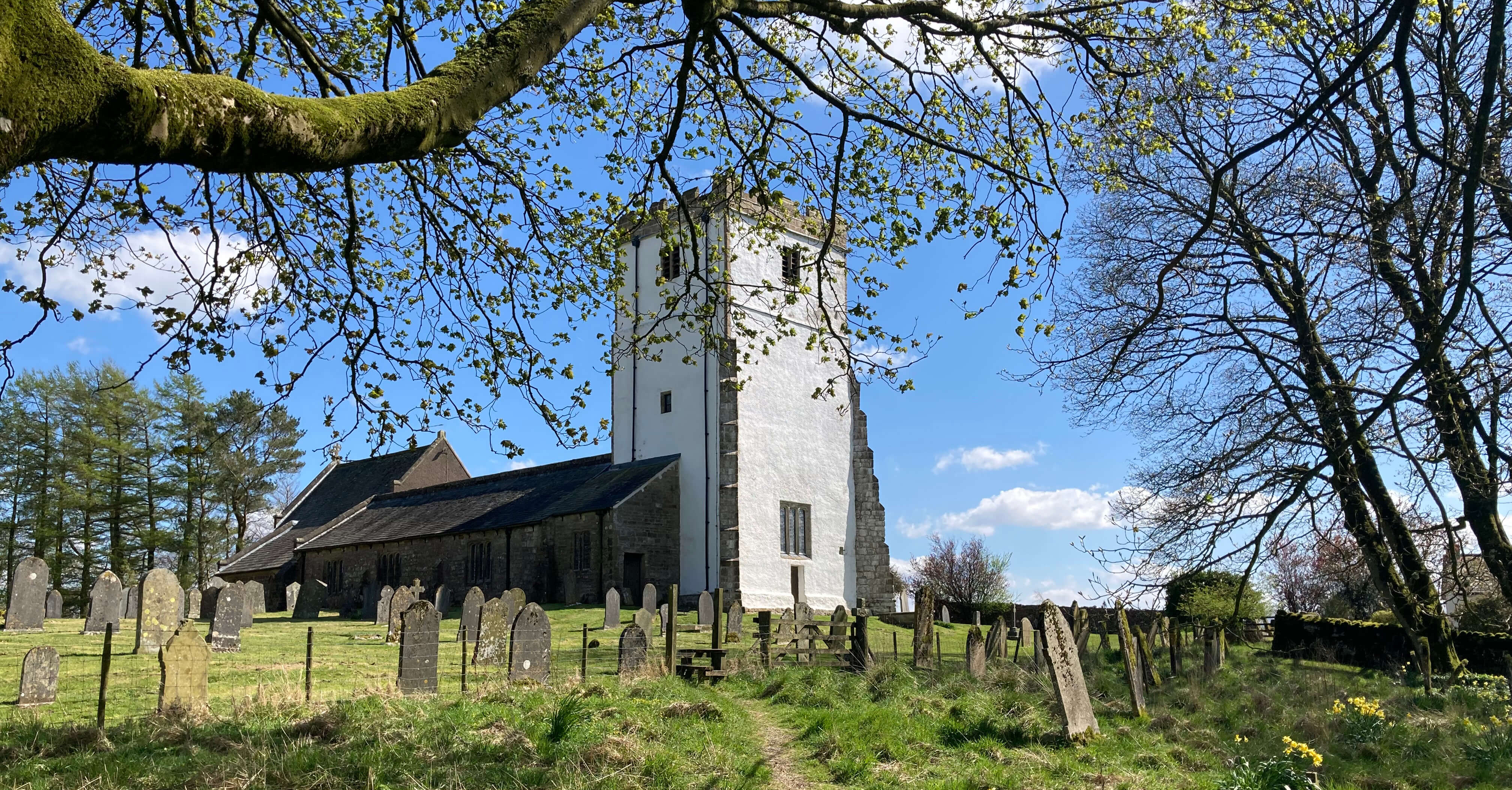
The village has a pub and a church (shown above right), the
latter having a bright white tower, it having been lime-washed in the traditional
fashion to keep the rain out. I can also recommend the village shop, which nearly
twenty years ago was helpful when I was trying to flog The Land of the Lune.
And who can fail to like a place where the main ‘industry’ today
(apart from farming) is making chocolate
(at Kennedys Chocolate Shop)?
We didn’t expect the associated café to be open early in the morning but it
was and only too happy to provide us with a cappuccino and scone. Eventually, we
set off. We walked west for a mile towards Sproat Ghyll Farm, where we experienced
a mirage. Because of the easterly wind we could not hear the motorway at all
although it was just a few hundred yards away. We couldn’t actually see the motorway
itself either. But we could see its traffic, which seemed to be speeding across
the farmer’s fields.
We reached the line of the Roman road, as marked on the map, but it looked
an ordinary track to us. The footpath on it seemed to swerve away from the line,
so we continued past the farm to take a path north through some newly-planted trees
to reach what we could well accept was the Roman road. It was dead straight, the
track raised a little, with a ditch to the left. The road was built by Agricola’s
men in about 80 AD and as such is the earliest Roman road in Cumbria, pre-dating
those to the west on High Street, to Hardknott and to Maryport. This first road
was to establish supply lines for the army and to link camps along the way. The
subsequent road forays into western Cumbria served to quell the scanty local populace.
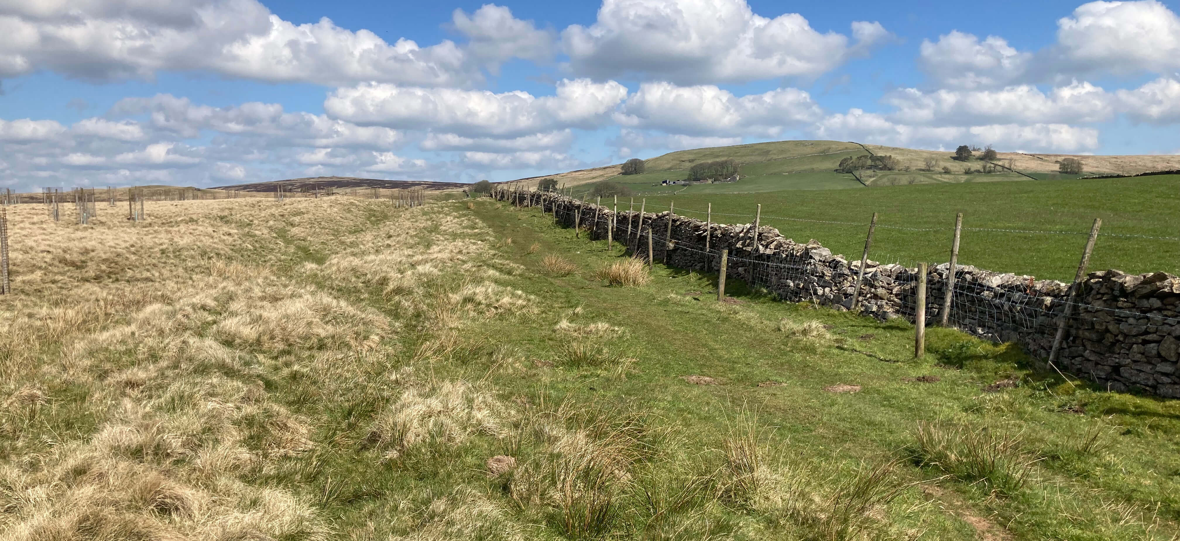
On the line of the Roman road
We followed the Roman road across the B6261 and up the limestone heathland, it becoming
drier, almost sandy, and with more heather the higher we walked. The Romans would
have known that they were not the first people up here because there are ancient cairns
and a stone circle by what is now called Wicker Street and their road passed close
by the ancient settlement of Ewe Close. Judging from the map, this was a settlement
of some size (its remains are today on private land). Perhaps the Romans headed up
here precisely in order to pass by Ewe Close, since they did need to trade with the locals.
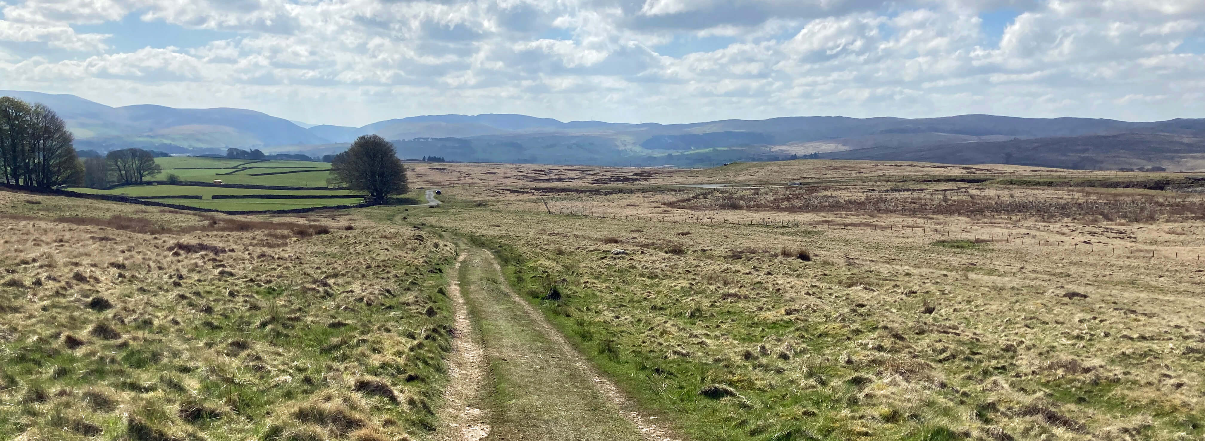
Looking back down the Roman road
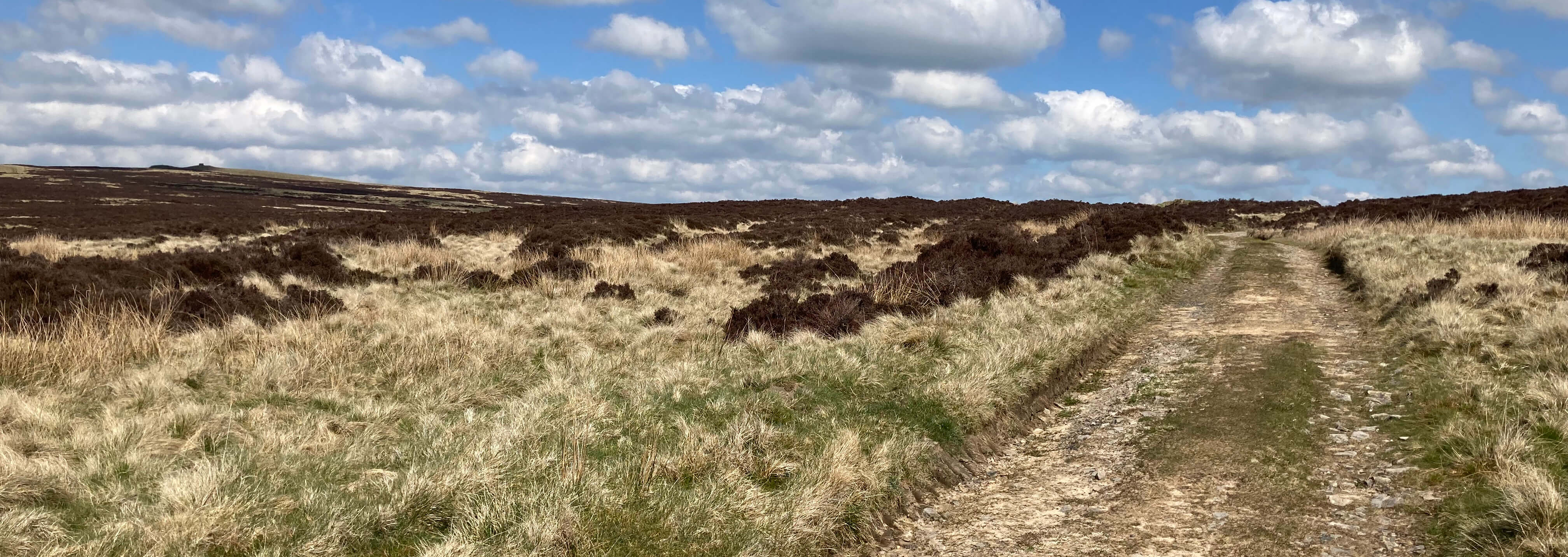
Looking up the Roman road
At a meeting of bridleways, with the highest point of the moor (401 metres) just
to the west, we paused by what I assume to be a disused shooters’ shed. The door had
gone, the floor was missing and no doubt the walls and roof will soon collapse.
It is easy to accept such structures just because they are there – but why should we? Shooters
pay thousands of pounds to shoot grouse. Why can't they pay a few
hundreds to remove their rubbish when they’ve finished. You or I would not leave
a pile of rubbish here.
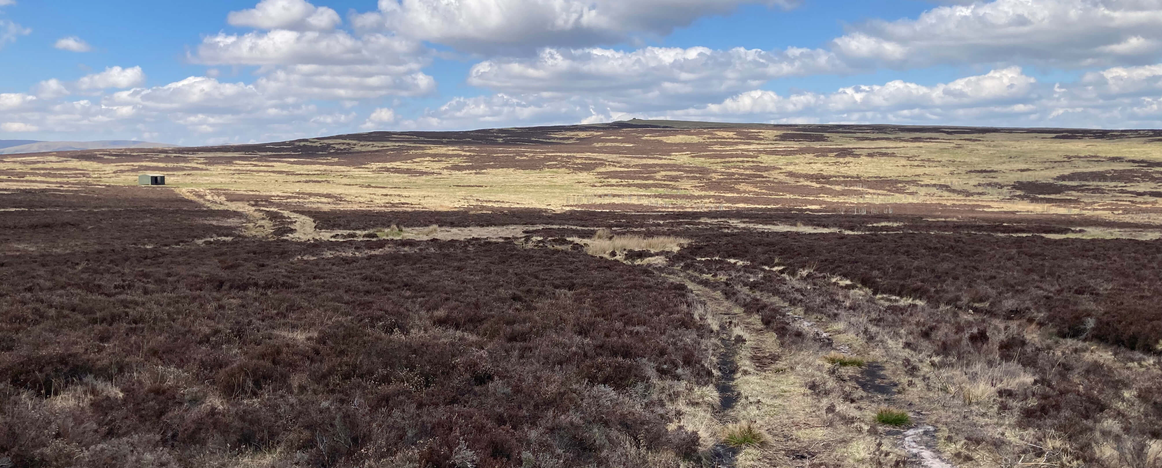
Crosby Ravensworth Fell (the highest point is in the middle;
the derelict shooters' shed is to the left, hardly inconspicuous)
I assume that they have indeed finished shooting grouse here. We did not see
or hear a single grouse. Perhaps the shooters had shot them all. The feeling
that this is no longer a ‘grouse moor’ (although grouse butts are indicated on
the map) is confirmed by all the saplings that have been planted here. They
wouldn’t plant trees if they wanted to shoot grouse. This dry, rather barren,
mainly heather-covered land will look very different when the trees have grown.
At the moment there’s an open airiness, with views to the distant hills of the
north Pennines, the Lake District and the Howgills, all just grey shapes on
this occasion.
The Roman road continues due north but we walked east on a good track
that was probably once used to transport
shooters about the moor. It led us to what is marked on the map as Robin Hood’s
Grave. I very much doubt that it is. There’s a large cairn within a
depression – that’s all. From there we walked due south, climbing the first
of several challenging step stiles over walls, to walk across sheep and
lamb fields, to head straight for the white tower of the Orton church. And then,
of course, to tea and cake at the chocolate café.
Date: April 21st 2026
Start: NY622082, Orton car park (Map: OL19)
Route: SW on B6261, SW – just past Sproat Ghyll
Farm – N – Roman road – N – old shooting cabin (at 599103) – E, NE on track – Robin Hood’s Grave – S – Orton
Distance: 7 miles; Ascent: 180 metres
Home
Preamble
Index
Areas
Dales
Hills
Lakes
Places
Reserves
Rivers
Structures
Villages
References
Me
© John Self, 2018-

Top photo: Rainbow over Kisdon in Swaledale;
Bottom photo: Ullswater