Home
Preamble
Index
Areas
Hills
Lakes
Dales
References
Me
Saunterings: Walking in North-West England
Saunterings is a set of reflections based upon walks around the counties of Cumbria, Lancashire and
North Yorkshire in North-West England
(as defined in the Preamble).
Here is a list of all Saunterings so far.
If you'd like to give a comment, correction or update (all are very welcome) or to
be notified by email when a new item is posted - please send an email to johnselfdrakkar@gmail.com.
199. Ten Features of Lancaster, Five Old, Five New
In order to structure a walk about the fine city of Lancaster, and to provide a basis
for reflecting on its past and future, I decided to focus on ten features of Lancaster û
five old (er than a hundred years) and five new (er than thirty years).
I set off first for
Lancaster Castle,
LancasterÆs top tourist attraction, especially
now that you donÆt have to commit a serious misdemeanour to be welcome inside. The
castle closed as a prison in 2012 and the inside now provides a civilised space, with
courtyard and cafÚ. The castle was built on the site of the Roman fort and, being in
the county town, was one of LancashireÆs most important buildings. Court cases are
still held in the castle although LancashireÆs main Crown Court is now in Preston.
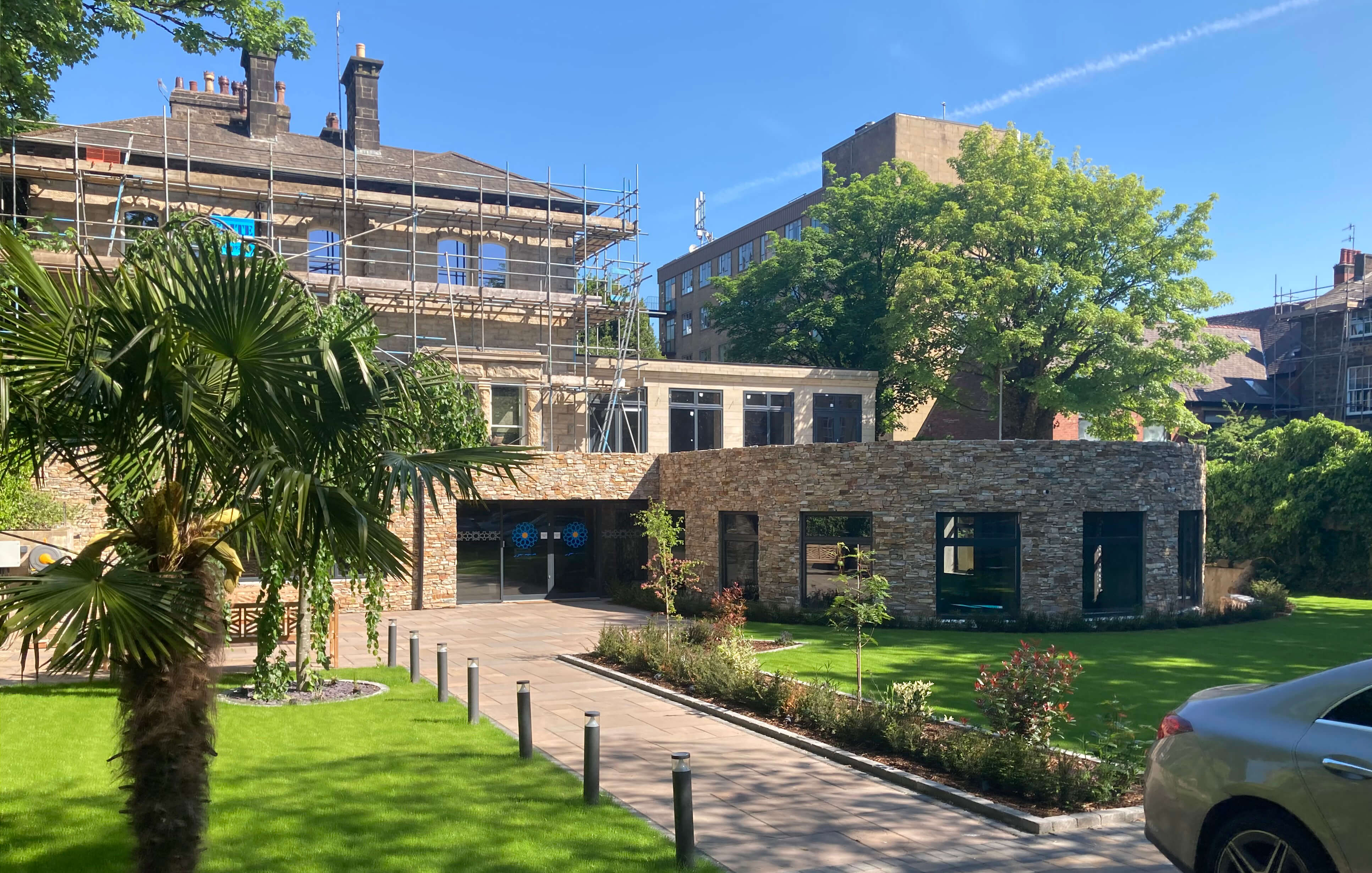
From the castle I headed west along Dallas Road, looking for Masjid al Noor,
the Lancaster Islamic Society.
The centre (built in the 1990s and still being
developed) keeps a low profile, literally as it seems to be below the level of
surrounding buildings and hidden by high walls. I noticed no sign to say that it
was there. I hope this isnÆt an indication that Muslims feel it necessary to hide
away within the community.
According to the 2021 census, 1.9% of the 142,000 people in the Lancaster District
registered as Muslim, most of whom live in the city of Lancaster (population 68,000).
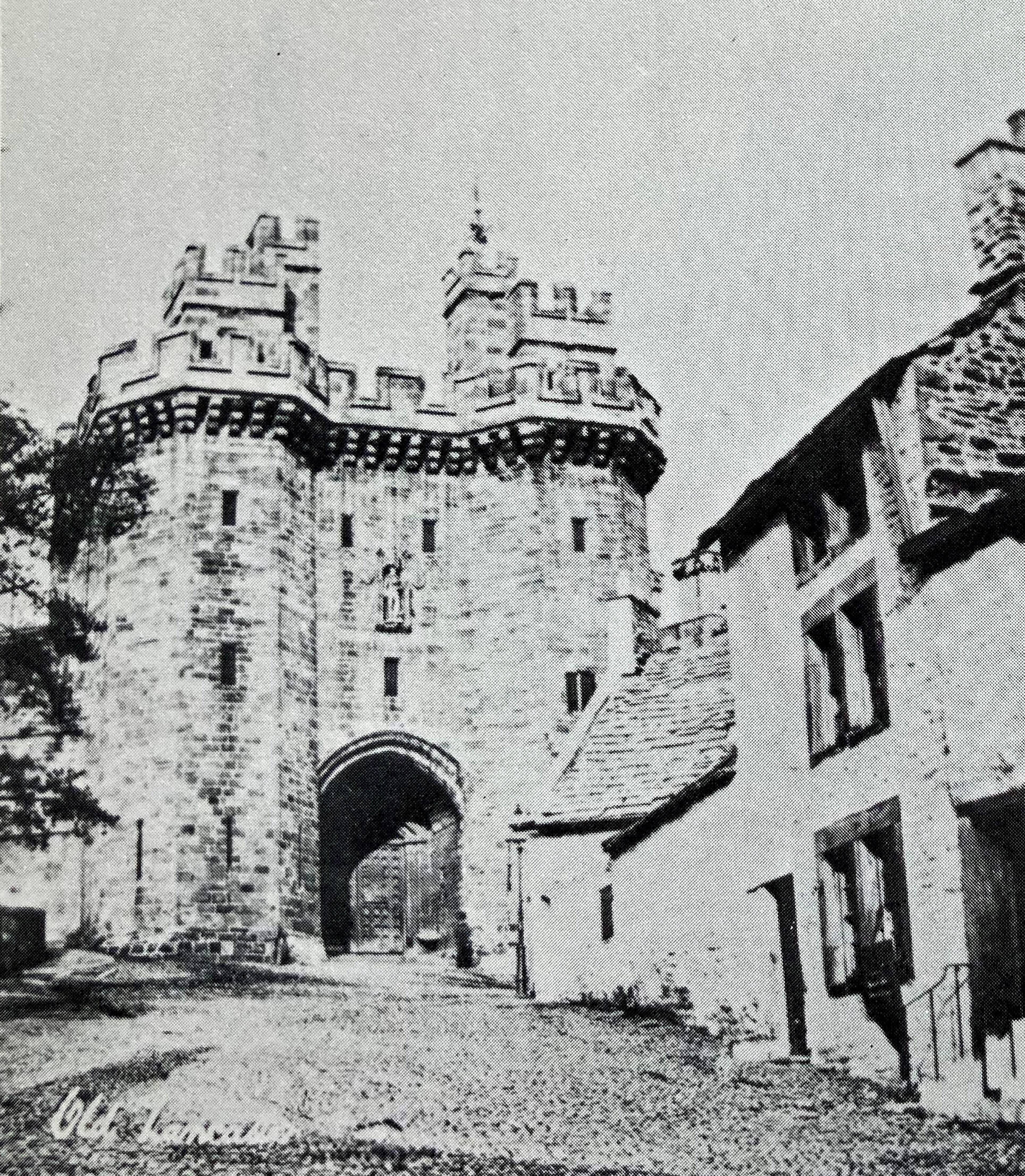
Left: Lancaster Castle gatehouse (the standard modern photo is
too familiar, so instead here's one taken (not by me) before the cottages
on the right were demolished in 1876);
Right: Masjid al Noor,
the Lancaster Islamic Society.
I continued along Dallas Road to the canal, where there were a number of Sunday
morning strollers, enjoying the peace and the sight of a swan with an excessive
number of cygnets. I then left the canal to walk along a path signposted to the
Fairfield Nature Reserve.
The Fairfield community has fought a commendable long-term campaign to protect
these fields from the housing plans that have been placed upon almost all other
fields around Lancaster. There is now a haven for nature but I must admit to being
a little disappointed. The well-maintained path provides a rather sterile white
avenue, through cow parsley and hawthorn, with only occasional views out over
the surrounding fields. I didnÆt see anything unusual but I suppose a view of a
few cows has become a rarity for city-bound residents.
From the reserve I headed east through suburban streets to the Quaker Meeting
House. Lancaster being the historic county town, it is blessed with a number of
notable churches. While we may admire the remarkable skill of those church
builders I always think that the money expended could have been better used to
help the general populace. The Quakers seem to have a more down-to-earth approach
to such matters. The Lancaster Meeting House is a modest, vernacular building built
in 1708, replacing one of 1677, and subsequently extended. George Fox, founder
of the Quakers, preached in Lancaster several times, and consequently was also several times a
guest of the afore-mentioned prison.
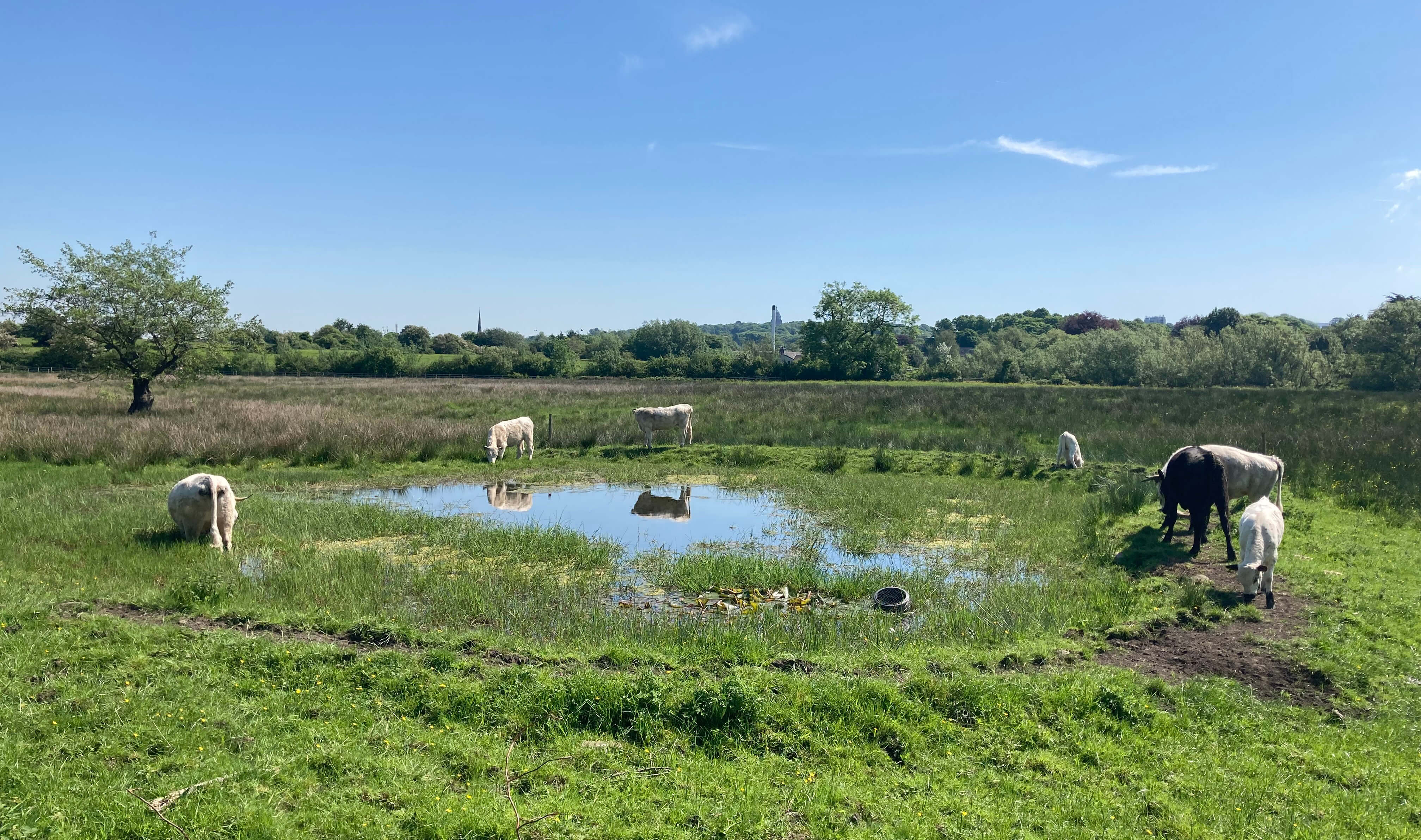
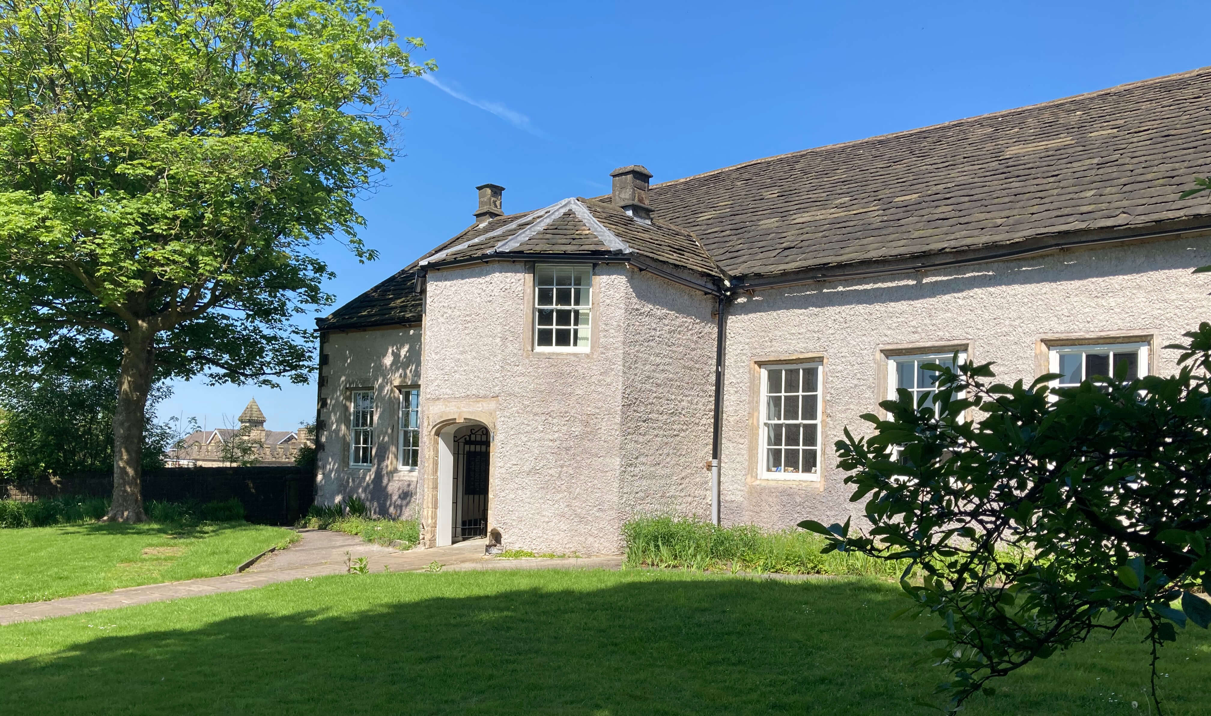
Left: Fairfield Nature Reserve;
Right: Lancaster Meeting House.
After some more walking along Lancaster streets I emerged at the bank of the River Lune.
Here there have been major changes in the last decade or so. For many years this
was a region of derelict warehouses and mills, the remains mainly of the linoleum
factories that formed LancasterÆs main industry in the early part of the 20th century.
Now they have been replaced by upmarket houses and flats overlooking the river.
At least, they would overlook the river if they could see it over the high wall built
to prevent flooding of those houses and flats.
Incidentally, I noticed among the new roads a William Priestley Park. I had
not come across this name in my readings of the history of Lancaster and I sometimes
wonder just what you have to do to be immortalised in a street name. It turns out
that Sir
William Priestley (1859-1932)
was MP for Bradford at a time when many of his
constituents holidayed in Morecambe, which became known as Bradford-on-Sea. He
became president of the Morecambe Royal National Lifeboat Institution, with a
lifeboat launched in 1933 bearing his name. On the other hand, he was (according
to Wikipedia) ôoutspoken in his opposition to womenÆs suffrageö.
Further along the riverside I passed old warehouses converted to flats, plus the
Custom
House, built in
1764 and now the Maritime Museum. This building is a measure of the wealth of
Lancaster in the 18th century, when it was a significant port. It is not a port
at all today. It was always a challenge for boats to get upstream along the shallow
Lune, especially when the tide was out, and, of course, it became impossible as boats became larger.
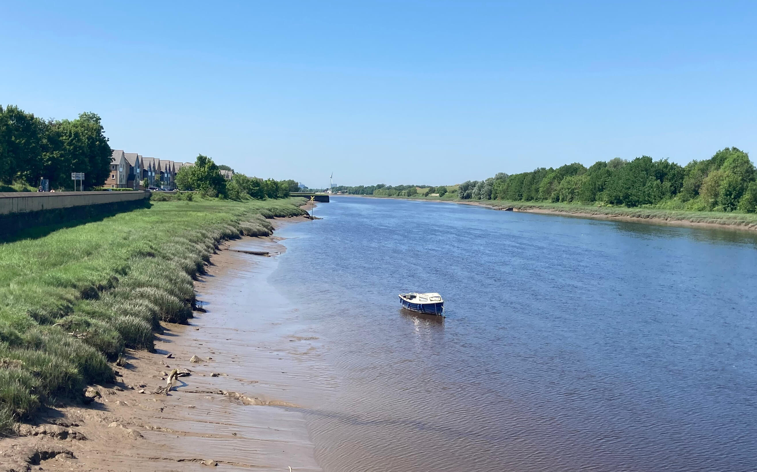
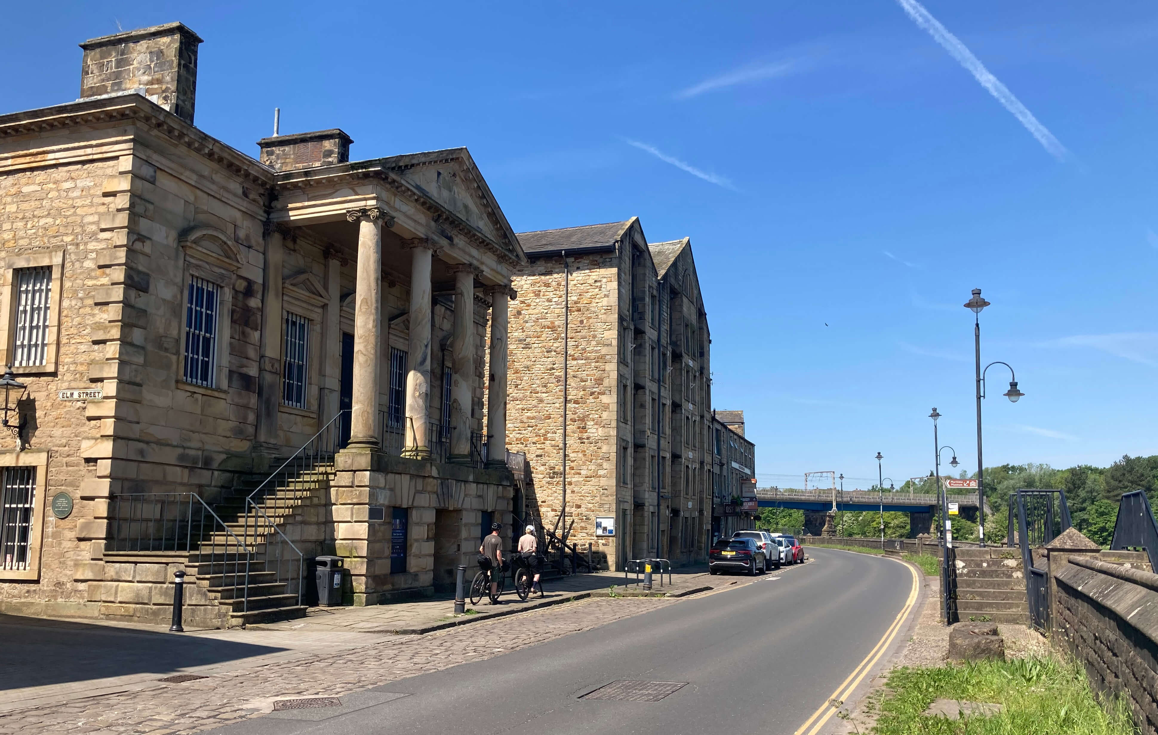
Left: The River Lune with new houses on the left bank;
Right: Custom House, Lancaster.
From the Custom House thereÆs a view of Millennium Bridge, built, naturally, to mark
the new millennium. It was a controversial bridge, because of the cost, the design and
perhaps the two fingers aloft (these were supposed to remind us of masts of ships gone by).
Nowadays the bridge is accepted as a welcome addition to Lancaster,
especially by walkers and cyclists from the north of the river, who can now avoid the
busy road bridges, Greyhound Bridge and Skerton Bridge.
I walked on to Skerton Bridge through some of the suburb of Skerton. The
cottages overlooking the river have charm, others less so. Skerton Bridge was
designed by Thomas Harrison (who was also responsible for the Crown Court in Lancaster
Castle) and completed in 1787. It is said to be the first large public bridge in
England to have a flat roadway. Between the five semi-elliptical arches there are
shrine-like structures that look like they deserve a statue (I donÆt know if there
ever were any). The bridge must have been solidly built to carry the weight of traffic
it has today.
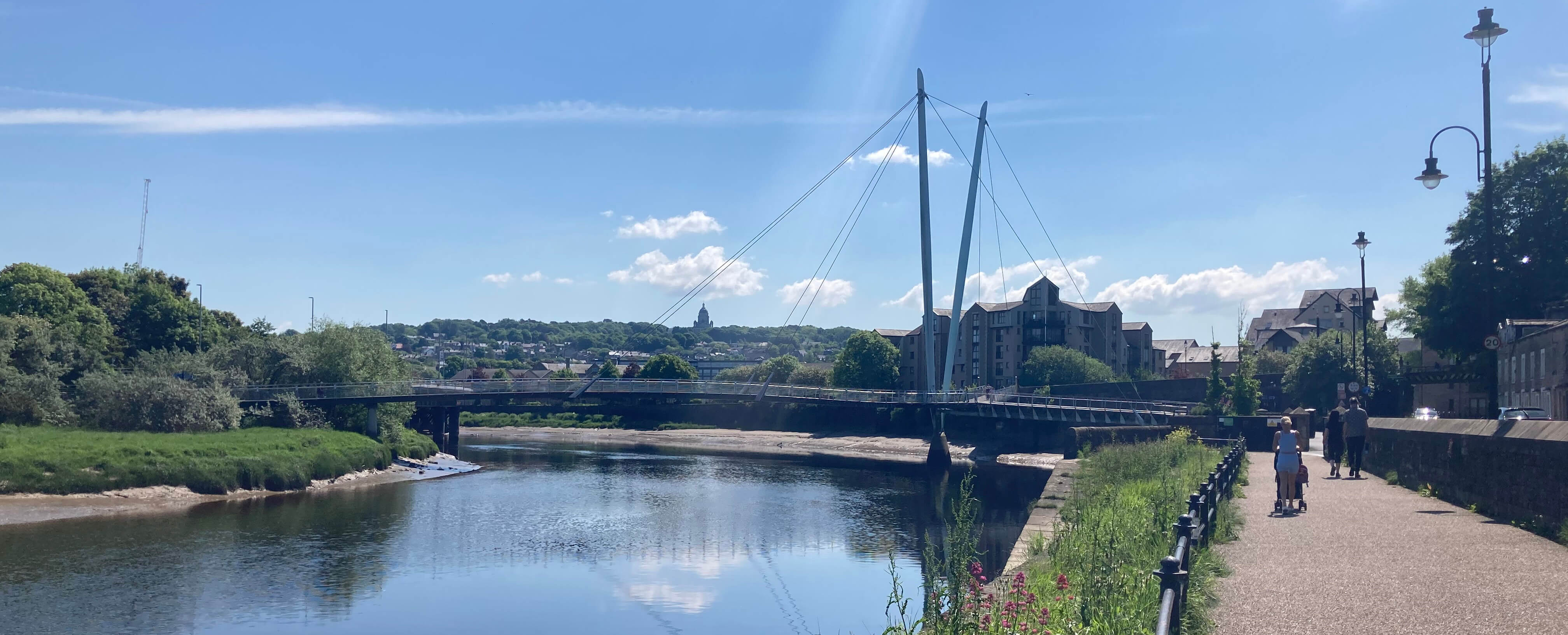
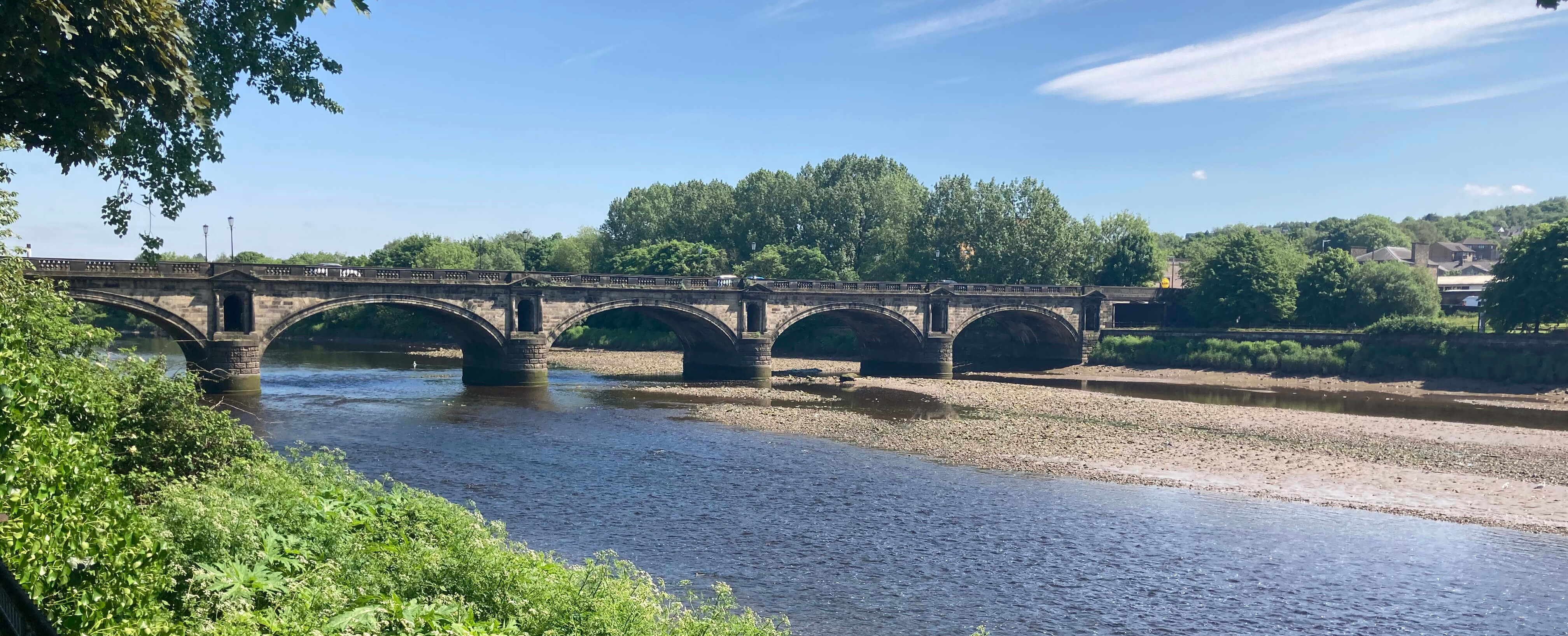
Left: Millennium Bridge;
Right: Skerton Bridge.
Over the bridge I turned north to approach one of the more surprising recent additions
to the Lancaster skyline, a multi-storey, orange, horseshoe-shaped building that
confronts visitors to Lancaster from the motorway. It is on what used to be called
Kingsway but I don't if that or any other name applies to the new building.
It says æBridge Square ApartmentsÆ at the base but that
uninspiring name may not apply to the whole building. It was built only after
much debate about it replacing a protected building (the bus depot
which closed in the 1990s) û but if you
look carefully you can still see a little of the original building behind the supports.
This is not the highest new building in Lancaster. It has been overtaken by a
block for student accommodation just to the west, and that too will probably soon be
overtaken by another such block being constructed nearby. None of them is the highest
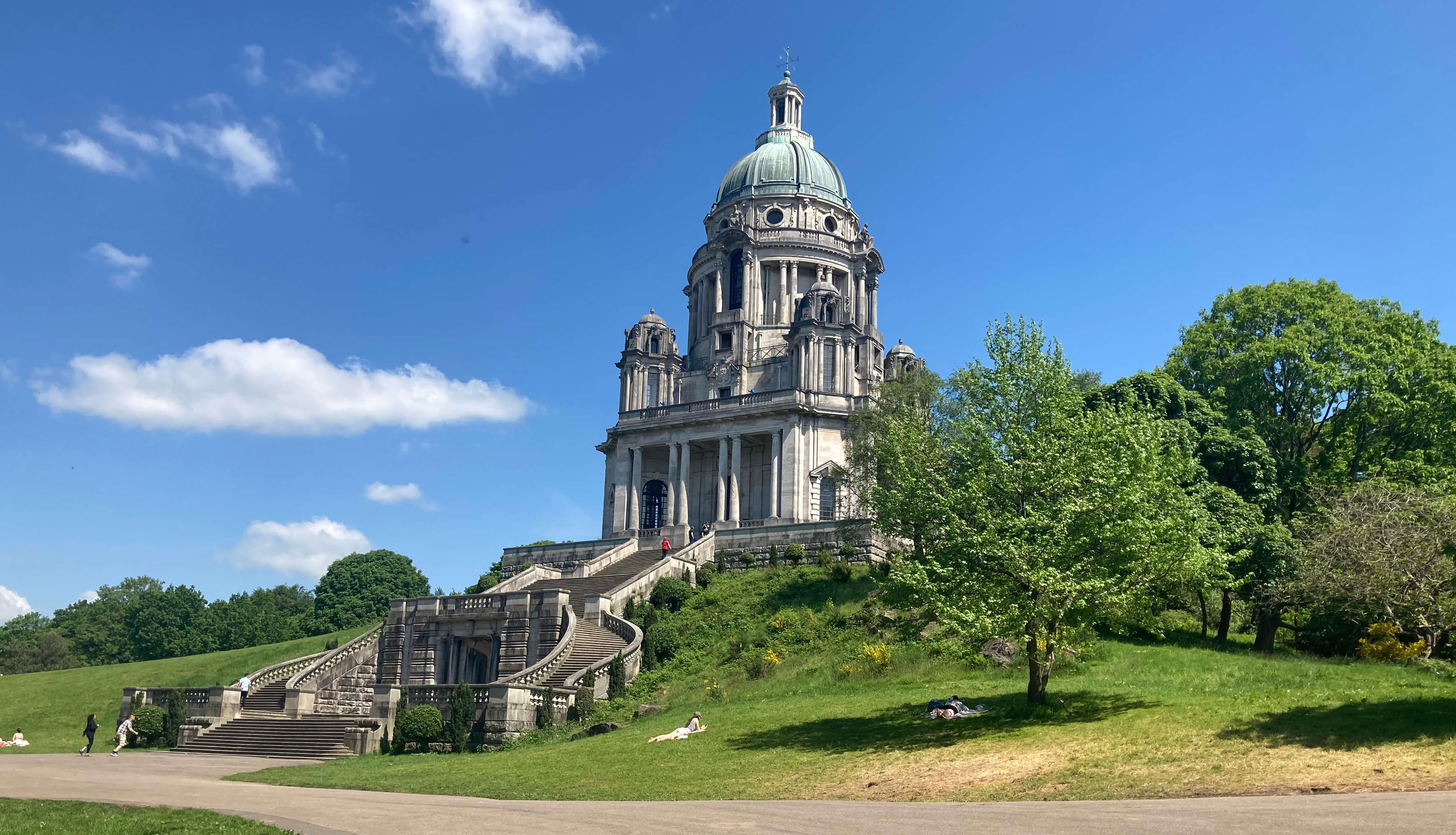
building in Lancaster û that is probably the Ashton Memorial, by virtue of being atop
a hill to the east.
I set out to walk to the memorial. I hadnÆt memorised the way, thinking that any
of the lanes on the Ridge estate heading more-or-less in the right direction would do.
Unfortunately, some of the lanes are dead-ends, with no warning at the open end that
that is so, and some of the paths between them are easy to miss. Eventually, I
emerged onto the open fields of Williamson Park, which was busy with parties having
picnics in the sunshine.
The Ashton Memorial was built in 1909 for
Lord Ashton
(1842-1930),
born James Williamson,
whoÆd made his fortune from the afore-mentioned linoleum factories, established by his
father. When we moved to the district in 1977 the Ashton Memorial had been abandoned
to fall into ruin.
At that time Lancaster residents did not look fondly on what they
called æthe structureÆ, which was probably a legacy of an acrimonious dispute between
Lord Ashton and his workforce.
For decades the two linoleum manufacturers (Williamsons and Storeys), who had
a virtual duopoly of employment in the city, had collaborated over pay levels
and refused to allow their workers to join unskilled trade unions.
Lord Ashton duly left the region, miffed at the lack of gratitude after he'd
donated the equivalent of ú40 million today for local causes.
The Ashton Memorial was, however, restored in 1985-1987 and is
now well-appreciated by Lancaster residents û and well-seen by travellers on the M6.
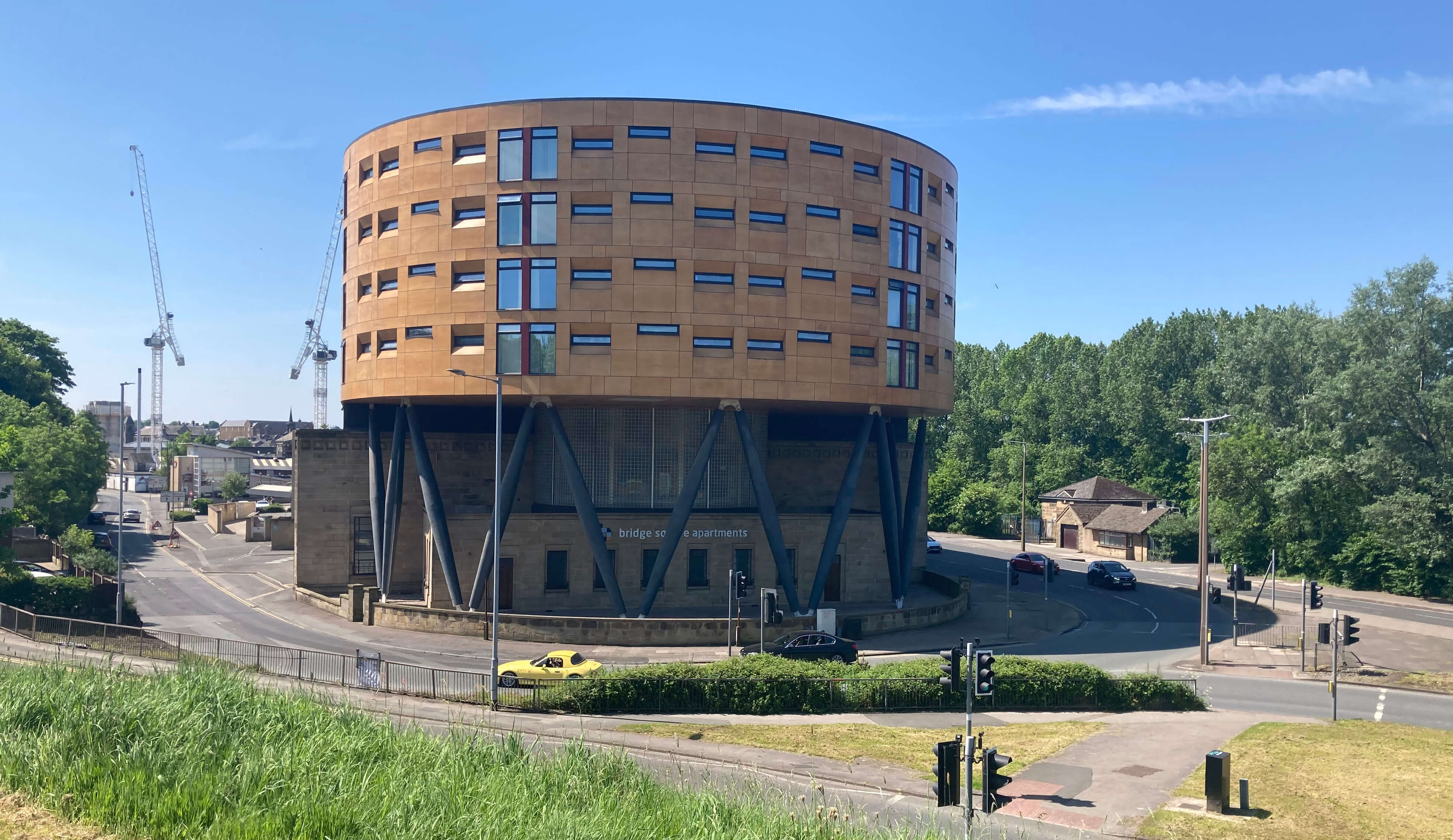
Left: The orange building;
Right: Ashton Memorial.
Overall, it is clear that Lancaster has lost the modest industrial base that it had.
It had died, although the corpse was still visible, fifty years ago but there is
little trace of it now.
Which raises the question: just how does Lancaster pay
its way today? They are plenty of æservicesÆ but can we all get by by servicing one
another? Does Lancaster produce anything to æexportÆ? Graduates, I suppose. The
main growth area in the city seems to be student accommodation, which seems a risky
strategy. It only takes a government to make foolish decisions about student grants
and visas and there may be fewer students and even universities.
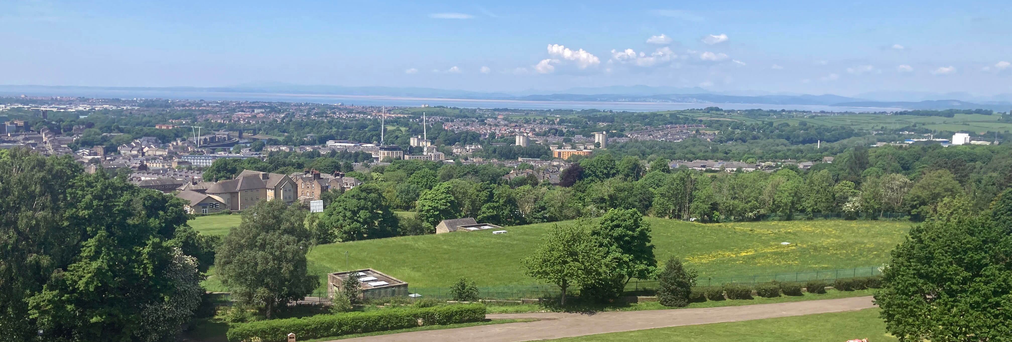
Lancaster from the Ashton Memorial
Date: May 19th 2024
Start: SD476619, Lancaster bus station (Map: 296)
Route: W û Lancaster Castle û S on Dallas Road, SW by canal,
W û Fairfield Nature Reserve û N past Millennium Orchard, on Ashfield Avenue,
E on Westbourne Road û Lancaster Meeting House û N, W, N on West Road and Lune Road
û River Lune û E along St George's Quay û Millennium Bridge û N over bridge, NE û Skerton Bridge
û NE, SE along miscellaneous roads through the Ridge estate û Williamson Park û W û Wyresdale Road
û W through Scotch Quarry Urban Park, NW û bus station
Distance: 6 miles; Ascent: 100 metres
Home
Preamble
Index
Areas
Hills
Lakes
Dales
References
Me
® John Self, 2018-
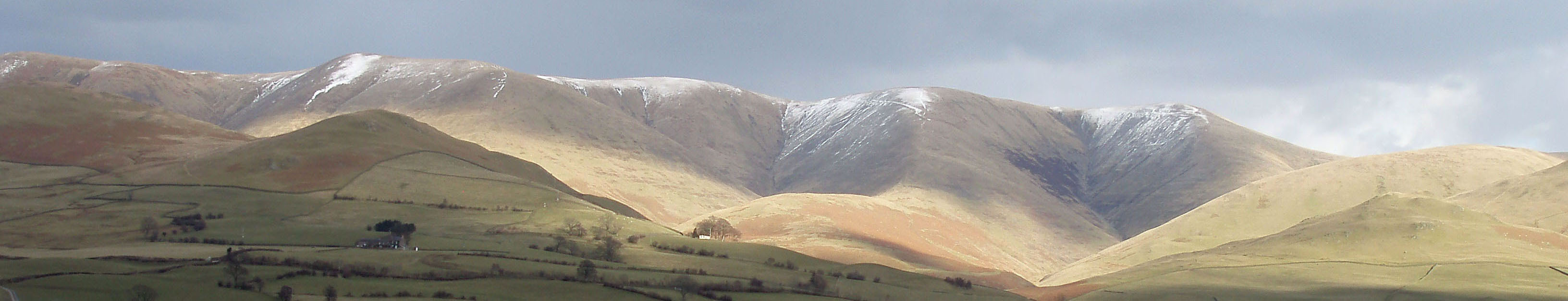
Top photo: The western Howgills from Dillicar;
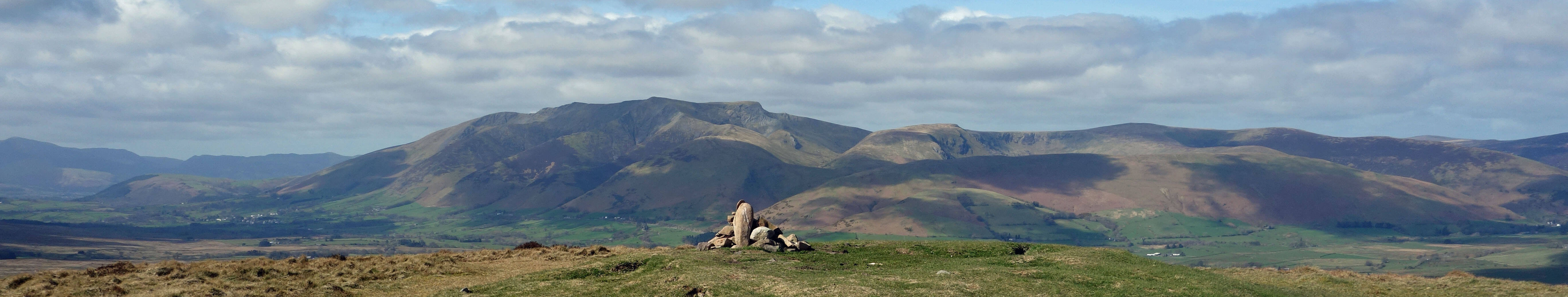
Bottom photo: Blencathra from Great Mell Fell