
Home
Preamble
Index
Areas
Hills
Lakes
Dales
Map
References
Me
Drakkar
Saunterings: Walking in North-West England
Saunterings is a set of reflections based upon walks around the counties of Cumbria, Lancashire and
North Yorkshire in North-West England
(as defined in the Preamble).
Here is a list of all Saunterings so far.
If you'd like to give a comment, correction or update (all are very welcome) or to
be notified by email when a new item is posted - please send an email to johnselfdrakkar@gmail.com.
208. Trials on Clougha
This walk had the nature of a trial. So far this year I have not walked up a single
high, rocky hill. Clougha Pike is my nearest such hill, although it is not particularly
high or rocky. I thought that I should check that I can walk up Clougha with some degree
of enjoyment before travelling far to tackle high, rocky hills elsewhere.
We didn’t set off on the usual frontal assault on Clougha from the Rigg Lane car
park but walked south towards the village of Quernmore, pronounced Kwormer. (When we
came to the district and asked about the best local schools we were recommended Kwormer.
We never did find it on the map.) At Low Pleasant a kindly gentlemen, whose residence
has an enviable view over the Quernmore valley to Morecambe Bay and the distant Lake
District hills, directed us past his property. Today, however, the haze made little
visible beyond the ridge opposite.
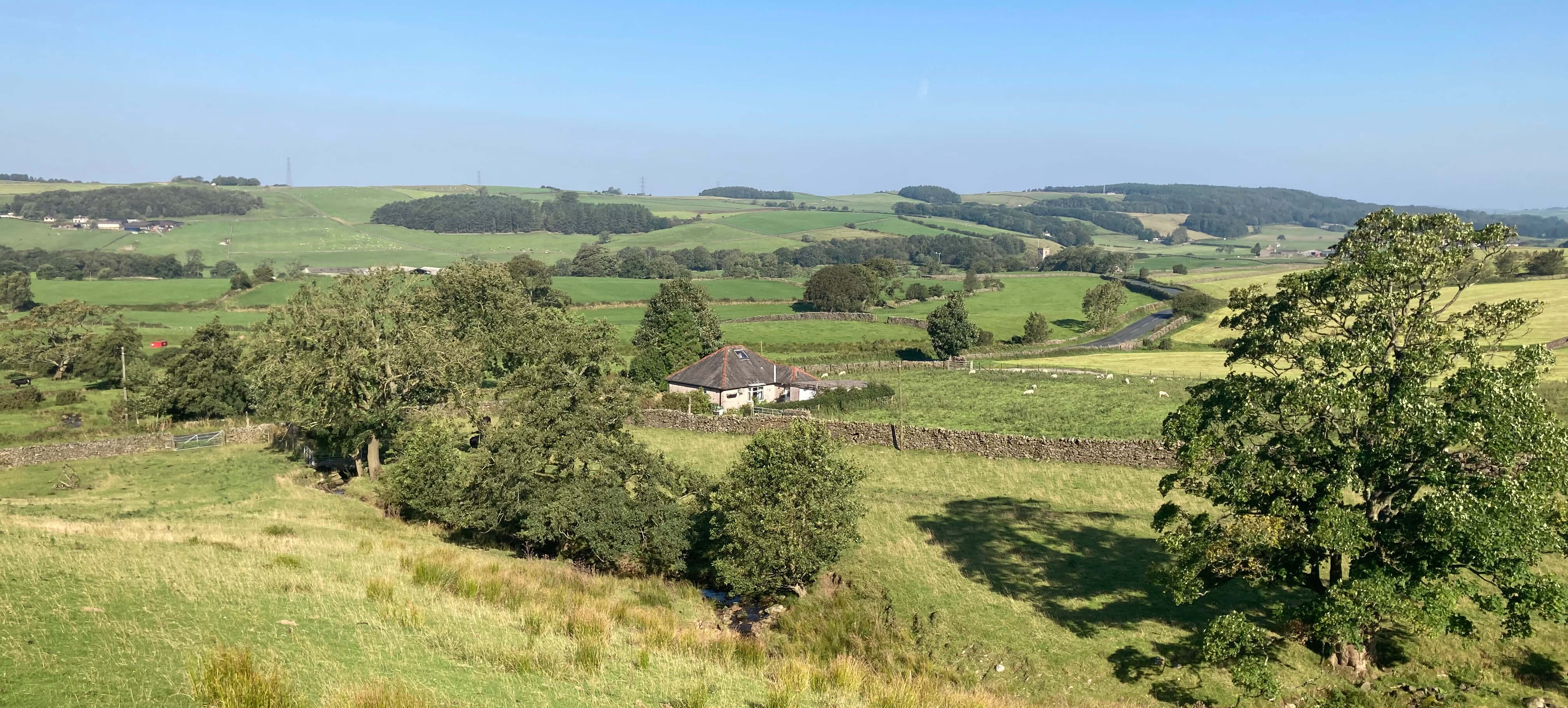
The Quernmore valley
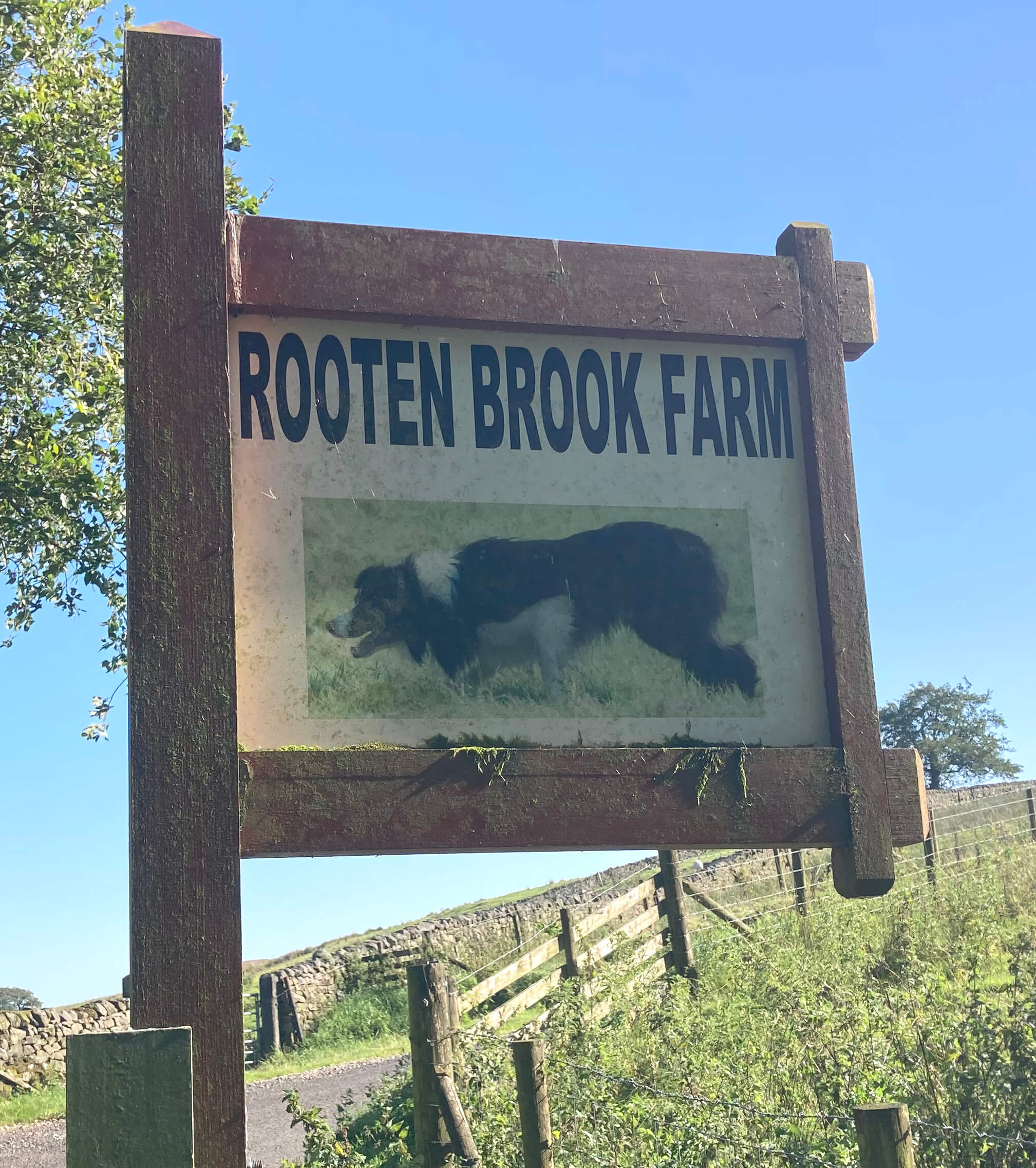 We walked on up to Rooten Brook Farm, the sign for which includes a sheepdog, for good reason.
For generations Rooten Brook Farm has been the home of the Longton family, which
has bred a series of champion sheepdogs and sheepdog trialists. Sheepdog trials are a
rather whimsical North-West England activity, the nature of which may be unfamiliar to
some readers – so I’ll attempt a summary, although I may have missed some of the subtleties.
 I had assumed that sheepdog trials were another of those activities dreamt up
by Victorian British gentlemen needing some amusement after colonising the
world. But no, sheepdog trials began in New Zealand in the 1860s. Anyway, we in the
North-West are champions now. The activity involves a shepherd, by means of whistles
and shouts, getting a dog to manoeuvre a small group of sheep around a course with
gates, pens, and so on. The shepherds perform one at a time. It would be chaos, but
more fun for spectators, if all the dogs were on the course at the same time.
The winner is not, as you might expect, the shepherd that gets the sheep around the
course in the fastest time. The winner is the one with the most points awarded
by a judge. I don’t count as a sport any activity that requires a judge to award
points. My Olympics wouldn’t have diving, dressage, gymnastics and other such
exhibitions. Sheepdog trialling has never been in the Olympics,
although there is a
campaign
to include it in the 2032 Olympics.
It would be unfair on those countries that don’t have sheep. Of course, trialists
could use ducks, llama, gnu, as they wish but none of those have the requisite
stupidity of sheep.
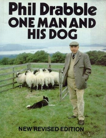
Sheepdog trialling was a surprise TV hit in the 1980s, with the programme One Man
and His Dog. The name of the presenter, Phil Dribble, was on everyone’s lips. Of course,
the programme has been banished because of the sexist title, although it must be
acknowledged that all champion trialists known (to me, all five of them) are men.
Women just haven’t evolved the stiff upper lip for the whistling, unlike men, mainly
through whistling at women. The very first edition
of One Man and His Dog in 1976 was
recorded at Rooten Brook Farm, with the then champion, Tim Longton, explaining the
intricacies of the art.
Today, however, we did not see or hear any sheepdogs at Rooten Brook Farm, unlike
previous occasions. In fact, we didn’t see or hear any activity at all at the farm.
Perhaps the Longtons have moved away? Perhaps the new holiday cottages nearby
provide sufficient income that the owners (whether Longtons or not) don’t need to bother with sheep nowadays?
We walked on along the ridge that rises beside Rowton Brook, with Clougha Pike
coming into view. Crossing the brook, we made our way slowly across the moor, eventually
taking the path diagonally up to the trig point (413 metres). It was a hot, windy day
but not sufficiently windy to disperse the haze. We could not see beyond Heysham
Power Station and, in the other direction, only the faint grey shapes of the Three
Peaks were visible.


Approaching Clougha Pike
From the top we took the usual path down, along Clougha Scar, but instead of heading
directly east to the Rigg Lane car park we thought we’d investigate a gate in the wall
that we had seen on earlier occasions but never taken. It was a mistake to do so this
time. The map marks, with a dotted black line, a path by the wall but there isn’t one.
We followed a sort of path that weaved uncertainly through the heather. The path itself
was often difficult to see through the heather and shadows of the heather. We kept slipping in the
unseen mud and subsiding into the heather, which was pleasurable enough but not conducive to
making good progress. We eventually reached a stile over a wall but both had collapsed,
although we managed somehow to get over. This path – if it is a path – will not be
usable for much longer, as the heather will grow to hide it.
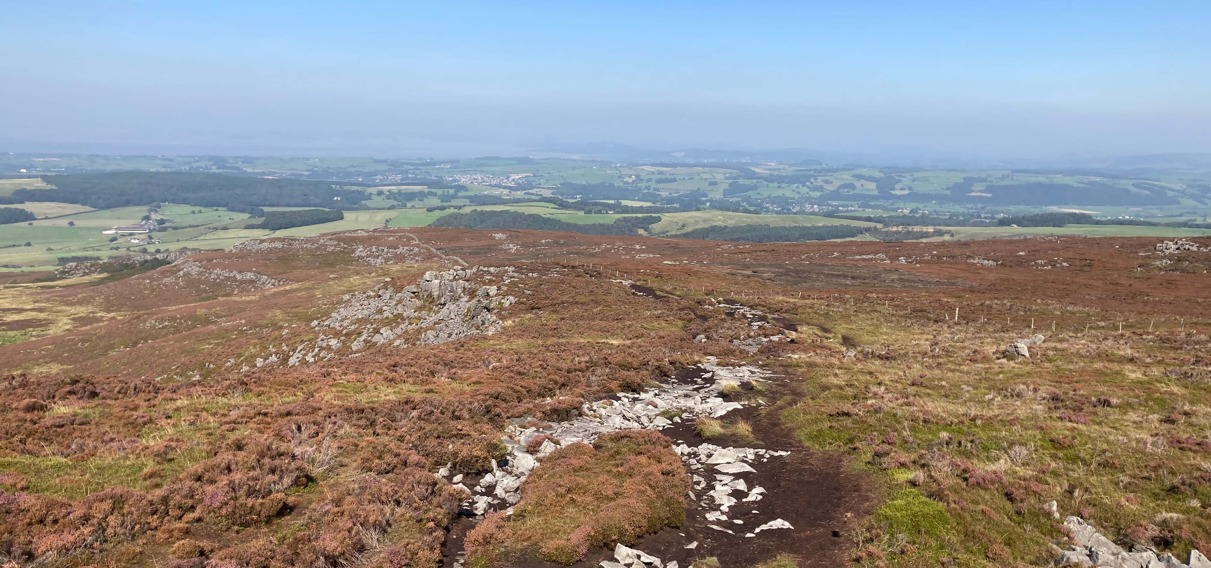
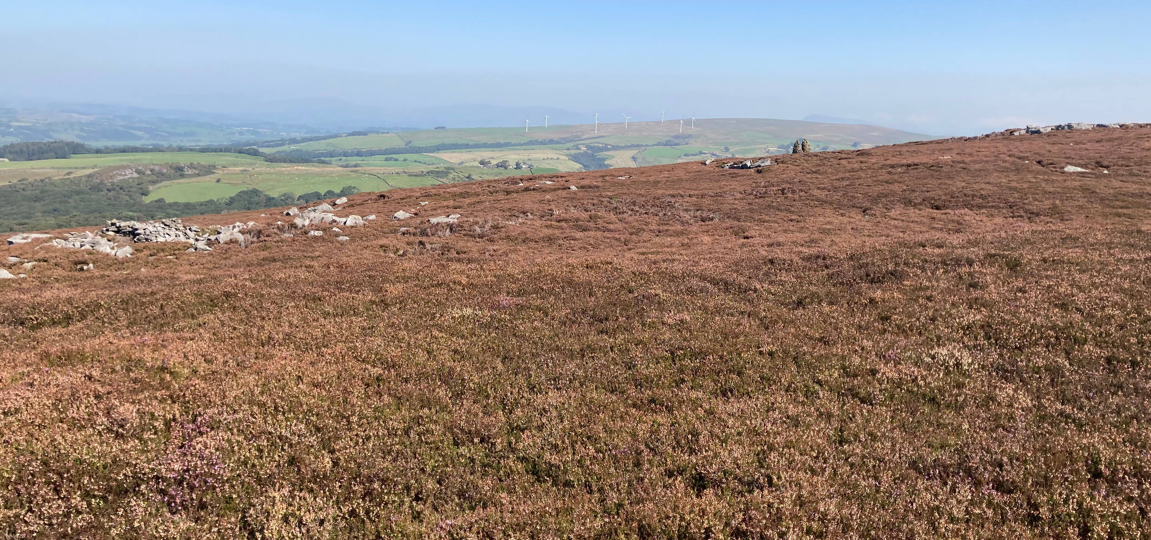
Left: The path down from Clougha Pike; Right: The
heather without much of a path.
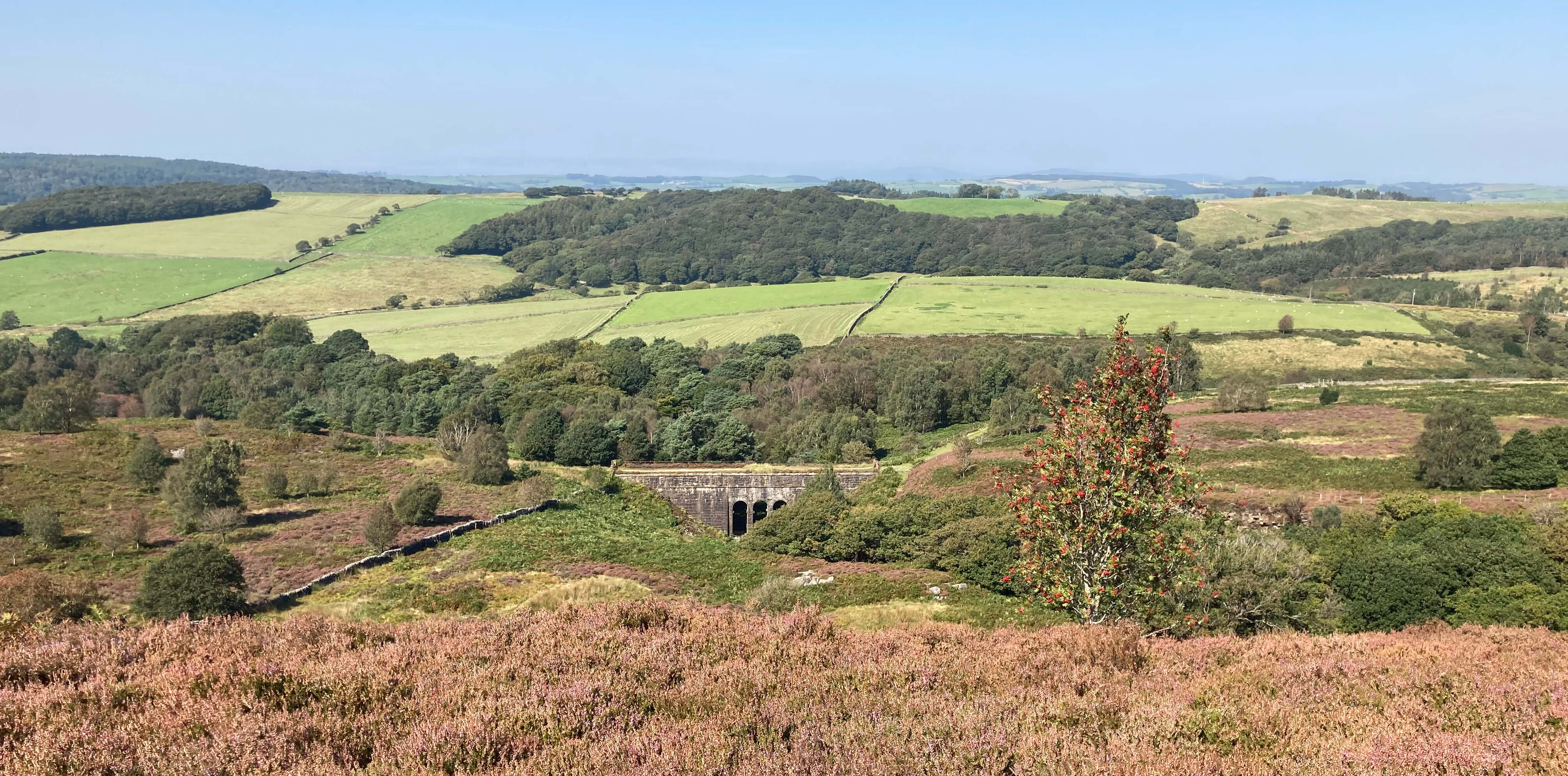
Nearing the end of the heather. Ahead is the rather
extravagant Ottergear Bridge carrying the Thirlmere Aqueduct.
As for my own trial, I’d say that I acquitted myself – but not too well, barely
scraping a pass. I was quite tired at the end, because of the heat, the wind, the slog
through heather, the muscles that have lapsed into flabbiness, and
creeping decrepitude. And Ruth had a sore ankle and hip – and the sole of her
boot came off.
Date: September 6th 2024
Start: SD526604, Rigg Lane car park (Map: OL41)
Route: S along Rigg Lane, SE – Low Pleasant – E – Rooten Brook Farm – E
by Rowton Brook, NE – Clougha Pike – NW along Clougha Scar, N through heather,
SW – Rigg Lane car park
Distance: 5 miles; Ascent: 320 metres
Home
Preamble
Index
Areas
Hills
Lakes
Dales
Map
References
Me
Drakkar
© John Self, Drakkar Press, 2018-

Top photo: Rainbow over Kisdon in Swaledale;
Bottom photo: Ullswater


 We walked on up to Rooten Brook Farm, the sign for which includes a sheepdog, for good reason.
For generations Rooten Brook Farm has been the home of the Longton family, which
has bred a series of champion sheepdogs and sheepdog trialists. Sheepdog trials are a
rather whimsical North-West England activity, the nature of which may be unfamiliar to
some readers – so I’ll attempt a summary, although I may have missed some of the subtleties.
 I had assumed that sheepdog trials were another of those activities dreamt up
by Victorian British gentlemen needing some amusement after colonising the
world. But no, sheepdog trials began in New Zealand in the 1860s. Anyway, we in the
North-West are champions now. The activity involves a shepherd, by means of whistles
and shouts, getting a dog to manoeuvre a small group of sheep around a course with
gates, pens, and so on. The shepherds perform one at a time. It would be chaos, but
more fun for spectators, if all the dogs were on the course at the same time.


