Home
Preamble
Index
Areas
Dales
Hills
Lakes
Places
Reserves
Rivers
Structures
Villages
References
Me
Saunterings: Walking in North-West England
Saunterings is a set of reflections based upon walks around the counties of Cumbria, Lancashire and
North Yorkshire in North-West England
(as defined in the Preamble).
Here is a list of all Saunterings so far.
If you'd like to give a comment, correction or update (all are very welcome) or to
be notified by email when a new item is posted - please send an email to johnselfdrakkar@gmail.com.
73. The Raygill Foraminifers
I was reading a report
by the Craven and Pendle Geological Society – which is not a phrase that I have used often – when I
noticed that it mentioned that among the highlights of the disused Raygill Quarry near Skipton
were the primitive archaediscid foraminifers of the Eoparastaffella Cf4ß Subzone.
My excitement was unbounded. My unceasing quest to learn more about North-West England would
lead me to the site of primitive archaediscid foraminifers of the Eoparastaffella Cf4ß Subzone!!
I am very fond of the technical terms of geology. It cheers me greatly to know that there are people in the world who chat in the pub with their colleagues about primitive archaediscid foraminifers of the Eoparastaffella Cf4ß Subzone. After this walk I would be able to join them.
I walked to the quarry from a lay-by on the road between Earby and Thornton-in-Craven.
As I prepared to do so, I realised that I knew as much about Earby and Thornton-in-Craven as I do
about the primitive archaediscid foraminifers of the Eoparastaffella Cf4ß Subzone. They lie
off the beaten track – at least, off my beaten track. I have been along the A65 hundreds of
times but I have never once visited Earby or Thornton-in-Craven, just a few miles south of it.
However, the Pennine Way passes nearby, so the villages should be hospitable to walkers like myself.
 Right: Earby, with Bleara Moor to the left.
Earby has a number of factory buildings, all too shy to put up any notices to tell me what they do.
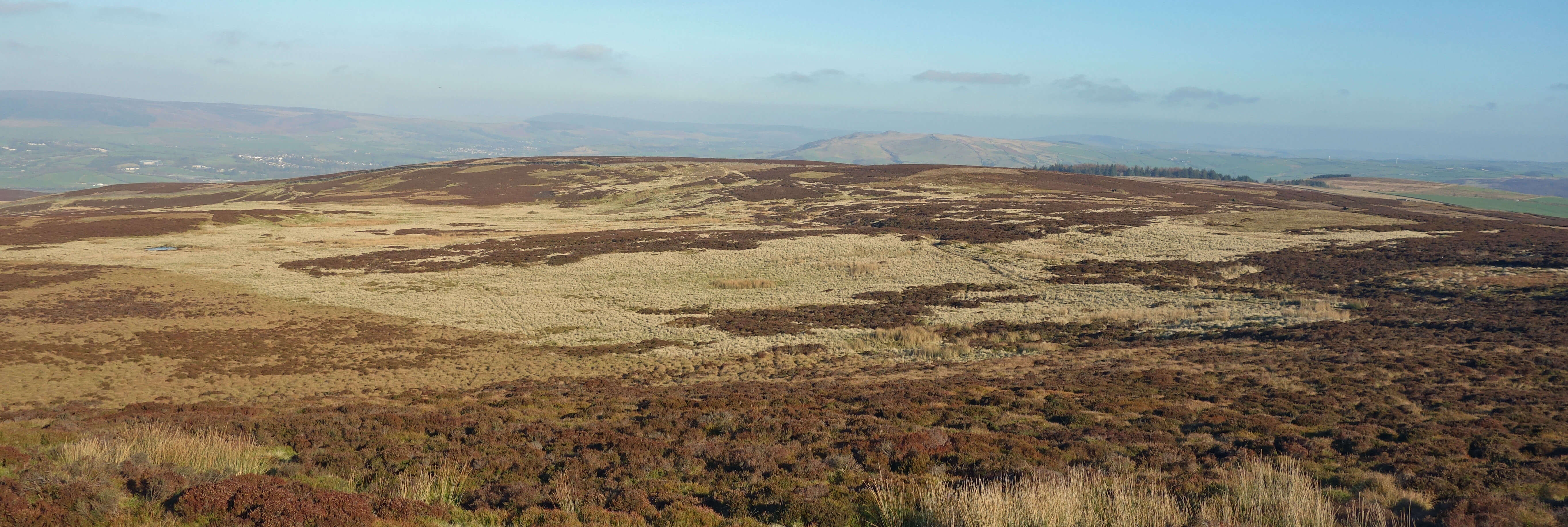
I passed them and headed east up to Bleara Moor (366 metres). This tiny moor is, somewhat surprisingly, on the National Divide, which here runs just south of Earby, but this fact did not tempt me onto the unappealing, boggy, heathery land. I skirted around it and dropped down to Bent Hall, heading, with mounting excitement, towards the old Raygill Quarry, the site of my primitive archaediscid foraminifers of the Eoparastaffella Cf4ß Subzone.
First I had to tackle an absurdly muddy path that has probably swallowed a few walkers in the past. Eventually, I reached the old quarry, which is now a fishery. For centuries this quarry was a dominant feature of the region. The limestone was quarried and burned in ten or more kilns to produce lime that was transported on packhorses in all directions. The quarry was something of a pioneer in lime production for in 1870 it patented a new kind of kiln that produced more lime per ton of coal burned. The geology that so excites our friends from the Craven and Pendle Geological Society is also responsible for the barytes that was also mined here. Barytes seems to have many uses and, for a while, Raygill Quarry produced more of it than anywhere else in the country.
Right: Raygill fishery.
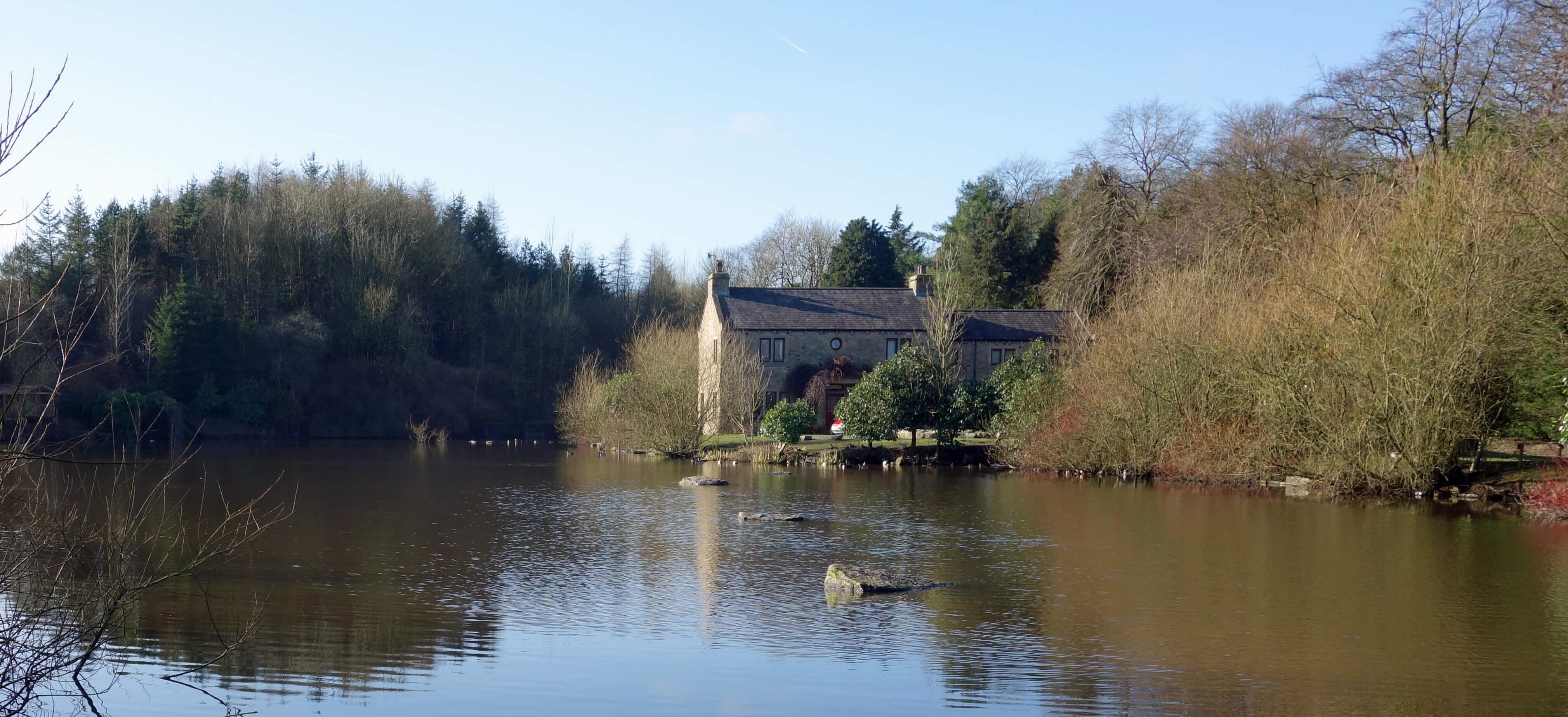
Unfortunately, the path yielded no sight of the old quarry and when I reached the entrance
to the fishery I found that there were many ‘closed until March 6’, ‘no entry’ and ‘no public
footpath’ signs. Nevertheless, I wandered in as far as the first lake. I still couldn’t see
much of the old quarry.
I had so looked forward to studying the anticline in the south-west corner
that, I understand, is the crest of the Lothersdale Anticline that plays a key part in the geology
of the region. And to seeing the fissures in the limestone cliff faces, in which in 1875 were found various animal remains that were identified at the time as of elephant, rhinoceros, hyena, lion, hippopotamus and bear and subsequently as being of an inter-glacial period over 100,000 years ago. And most of all, of course, to appreciating the site of those primitive archaediscid foraminifers of the Eoparastaffella Cf4ß Subzone.
I walked on and up towards Pinhaw (388 metres), pausing for a snack on a sunny slope
near the aptly-named Sunny Side overlooking Lothersdale. I tried hard to picture a large quarry creating noise, smoke and dust in this now quiet, green valley. The quarry closed down in 1980, only forty years ago, but it has disappeared as completely as those elephants and rhinos.
If Raygill Quarry was a disappointment then so was Pinhaw. I had read many comments about
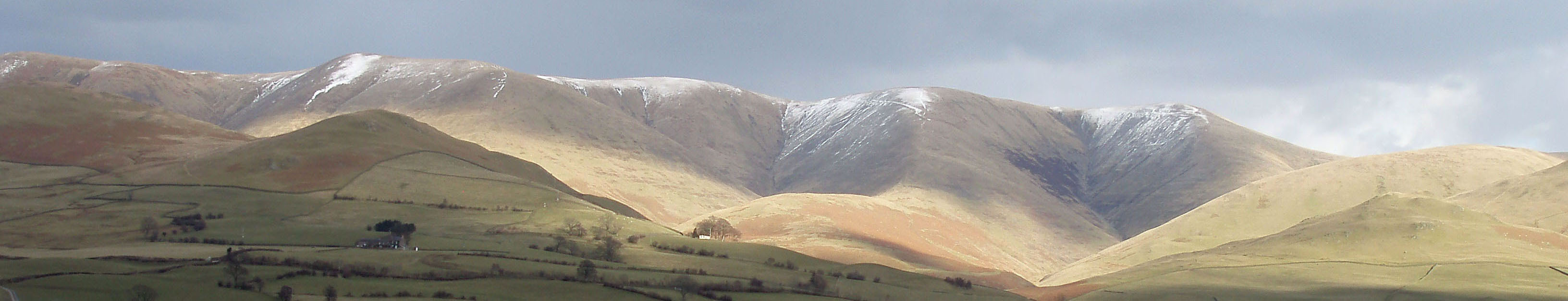
the stupendous views from Pinhaw – for example, the
Craven Herald
refers to “spectacular, ‘top of the world’ views” – but I feel that there has been a wee bit of exaggeration, although admittedly my day did not have perfect visibility. Everything of interest is so far away. Pendle looms small to the west and the Pennine hills to the south appear so flat and shapeless that it is impossible (for me) to identify them. I could not see the promised Lake District hills or the Three Peaks at all because there was no wind to disperse the low-lying murk. But if I could see them then I expect that they would be mere pimples on the horizon only provoking the thought that I’d rather be there, on a proper mountain, than here on Pinhaw. It is an undistinguished top, once the site of a beacon and now the site of nothing much, and it is such an easy amble to it that there is little sense of achievement. If, despite my words, you are keen to conquer Pinhaw then you may do so by parking on the road and
walking about 500 metres on the gentle Pennine Way track, climbing all of 50 metres.
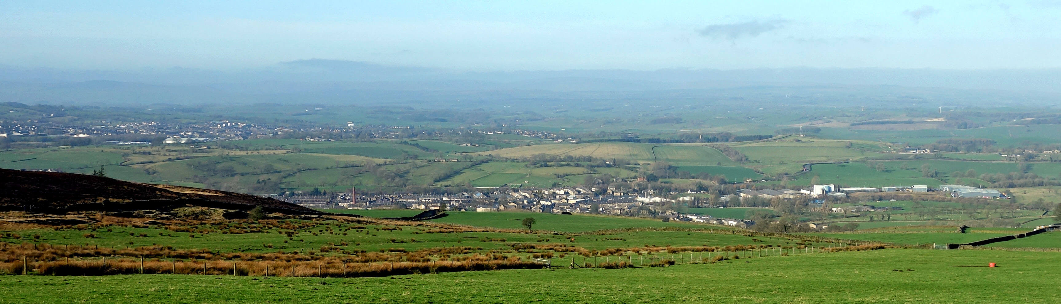
Approaching Pinhaw
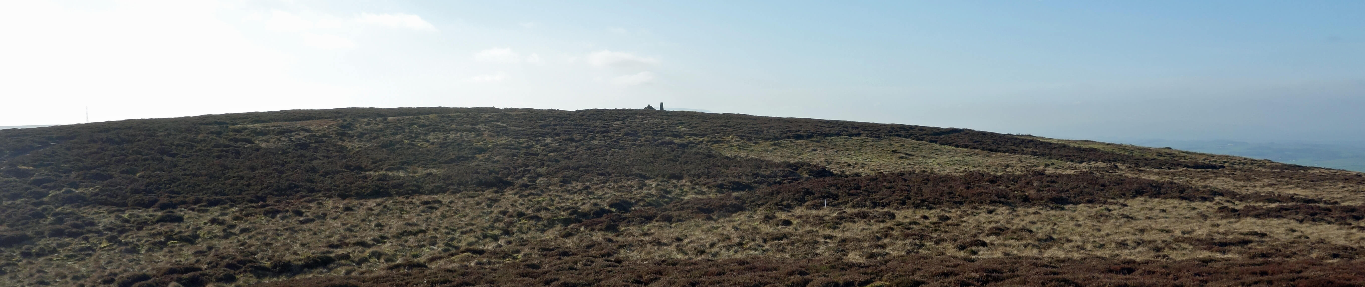
The dramatic top of Pinhaw (believe it or not, Pendle is vaguely visible past the trig-point)
At least it was an unexpectedly sunny day, almost spring-like. From Pinhaw I headed west over a
moor that somebody, for some reason, has recently enclosed in a high fence and dug furrows across.
There is a ring cairn
on this moor but I did not search for it to see if it has survived the work of the furrower.
Further along, near Booth Bridge, many young trees have been planted on the hill-side. Have recent tree-planters received grants from a government committed to
planting millions of trees? If not, will they now pause to see if such grants
become available?
Past the Earby factories
and back at the lay-by, I considered whether I would return when the fishery is open in order to seek
my beloved primitive archaediscid foraminifers of the Eoparastaffella Cf4ß Subzone. That is hard to say.
Date: February 6th 2020
Start: SD905474, layby on A56 north of Earby (Map: OL21)
Route: E, S, SE through Earby – Banks Farm – SE – Higher Verjuice Bank – E, S, NE –
Bent Hall – S, NE (past Raygill Fisheries) – The Fold – NW, N, E, NE – Sunny Side – NW – Pinhaw – SW, NW, W across
Rectory Allotment – Booth Bridge – SW, N, W – layby
Distance: 8 miles; Ascent: 300 metres
Home
Preamble
Index
Areas
Dales
Hills
Lakes
Places
Reserves
Rivers
Structures
Villages
References
Me
© John Self, 2018-
Top photo: The western Howgills from Dillicar;
Bottom photo: Blencathra from Great Mell Fell