
Home Preamble Index Areas Dales Hills Lakes Places Reserves Rivers Structures Villages References Me
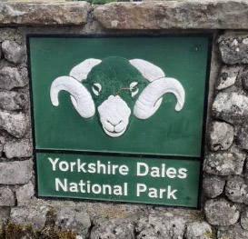 When the Yorkshire Dales National Park was designated in 1954 its western border was made to coincide
with the border of the county of Yorkshire. Obviously, it would be silly for places not in Yorkshire
to be in the Yorkshire Dales. In 1974 the counties were re-defined. Parts of the Yorkshire Dales,
such as Dentdale, found themselves now in the new county of Cumbria. Parts of 'old Yorkshire' which
were deemed surplus to the requirements of 'new North Yorkshire' were transferred to 'new Lancashire',
which was itself a shrunken version of 'old Lancashire', with large areas now in 'new Merseyside', 'new
Greater Manchester' and 'new Cumbria'. In 2016 the Yorkshire Dales National Park fought back: it annexed
sizable areas of Cumbria and even a part of Lancashire.
When the Yorkshire Dales National Park was designated in 1954 its western border was made to coincide
with the border of the county of Yorkshire. Obviously, it would be silly for places not in Yorkshire
to be in the Yorkshire Dales. In 1974 the counties were re-defined. Parts of the Yorkshire Dales,
such as Dentdale, found themselves now in the new county of Cumbria. Parts of 'old Yorkshire' which
were deemed surplus to the requirements of 'new North Yorkshire' were transferred to 'new Lancashire',
which was itself a shrunken version of 'old Lancashire', with large areas now in 'new Merseyside', 'new
Greater Manchester' and 'new Cumbria'. In 2016 the Yorkshire Dales National Park fought back: it annexed
sizable areas of Cumbria and even a part of Lancashire.
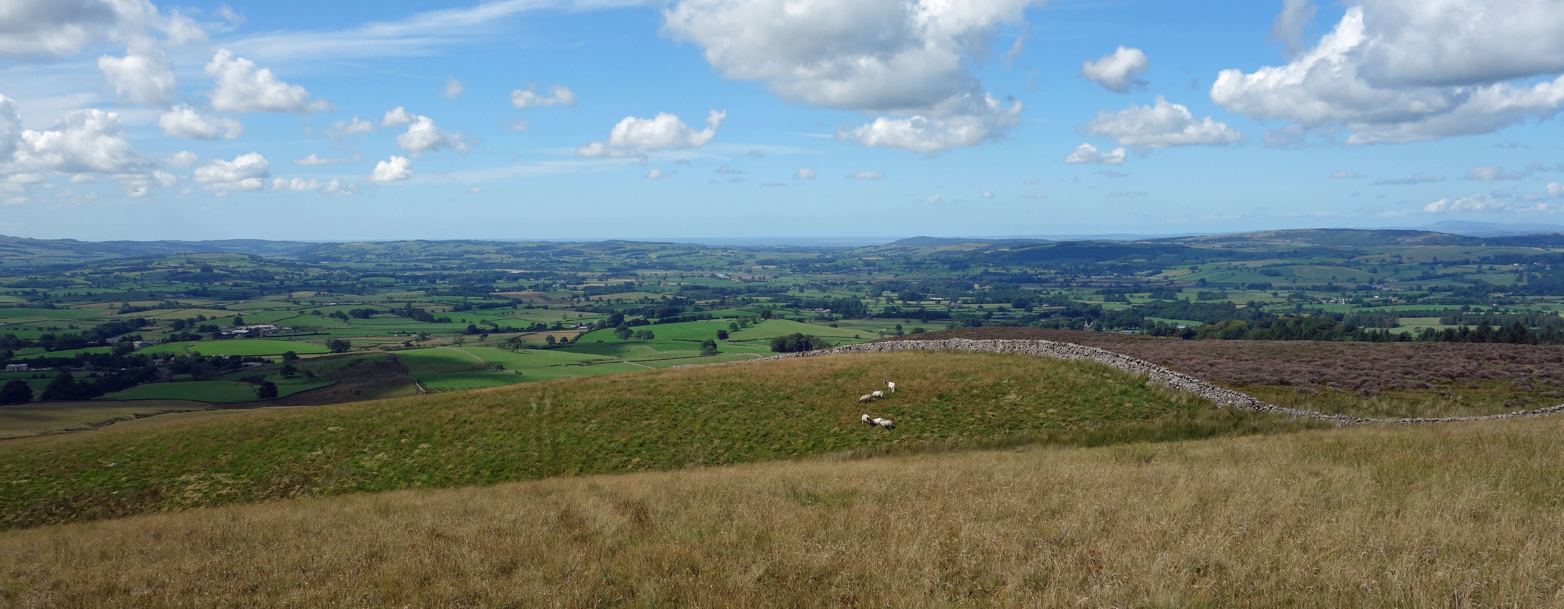
From half-way up Ireby Fell, looking towards Kirkby Lonsdale
The long walk up Ireby Fell is not as tough as it used to be. Shepherds nowadays use quad bikes, not legs, to get up the hills and their tracks form fine walking paths, provided they are heading in the right direction. It was very quiet on the fell, with only the occasional swallow twittering by. I might have thought I’d lost my sense of hearing if it weren’t for the sound of my own footsteps. At the join of the two walls there is a stile – but it is beyond the join and no help at all. A wall had to be climbed, and it had to be the left one, to ensure that I stayed in Lancashire.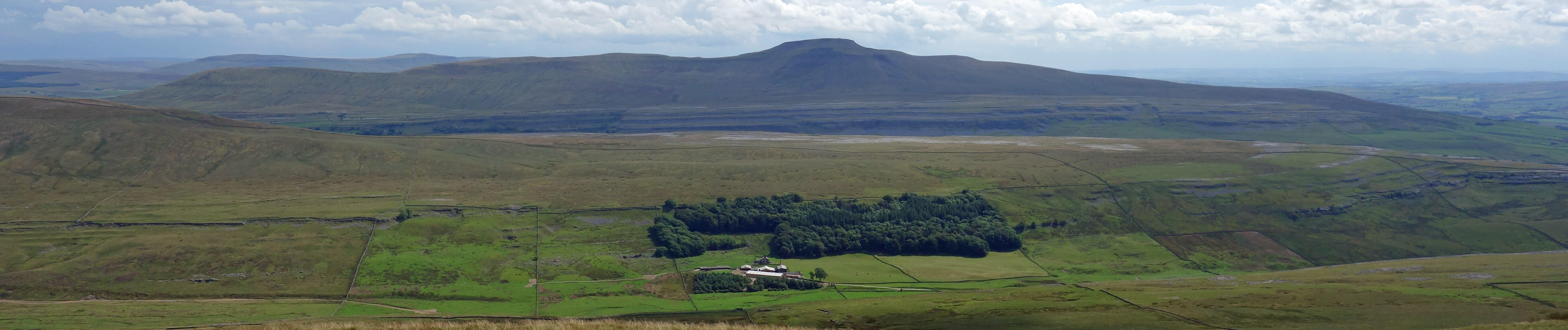
Ingleborough and the farm of Braida Garth in Kingsdale, from the stile at the walls' junction
Gragareth has a rounded top, unlike its neighbour Ingleborough, with its millstone grit cap. Gragareth (628 metres) is lower than Ingleborough (723 metres) and is more like Park Fell (563 metres) to Ingleborough's north, with the Yoredale series of limestone, shale and sandstone all the way up. From Gragareth I headed west to the cairns of the Three Men of Gragareth and then cut north across Leck Fell to Ease Gill.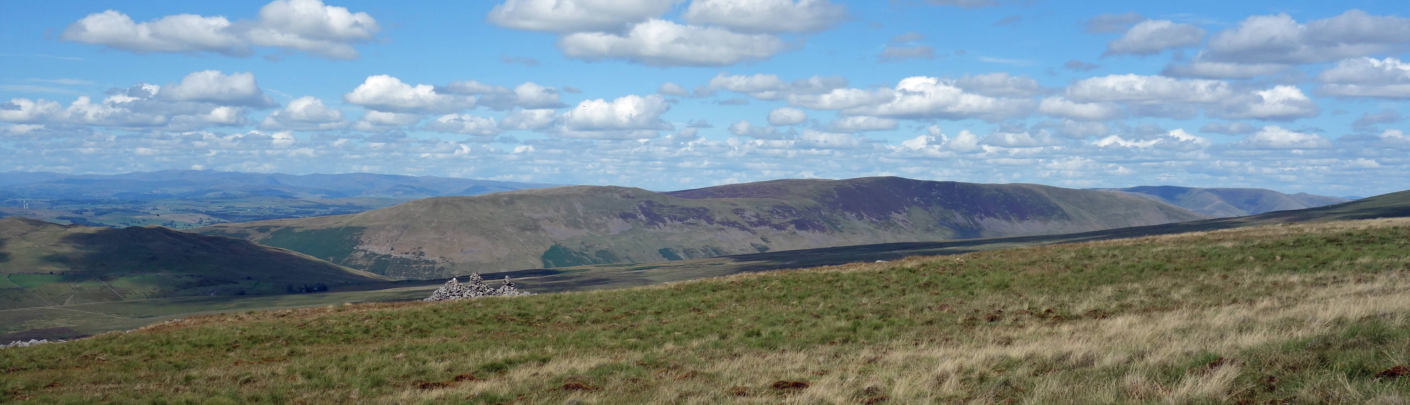
Approaching the Three Men of Gragareth, with Barbon Fell beyond
Normally, Ease Gill collects the water from the slopes of Crag Hill and Great Coum and gradually loses it as it disappears through its limestone bed at about the 350 metre contour. There’s usually a mini-waterfall at Cow Dub and an eerily dry valley below that. However, because of the long dry spell there was hardly any water in Ease Gill to start with, and so I could not entertain myself by investigating the beck coming and going. Just like Kingsdale Beck in the neighbouring valley, Ease Gill normally repeatedly appears and disappears, and eventually re-emerges (in Ease Gill’s case, as Leck Beck) when the water meets impenetrable lower rocks.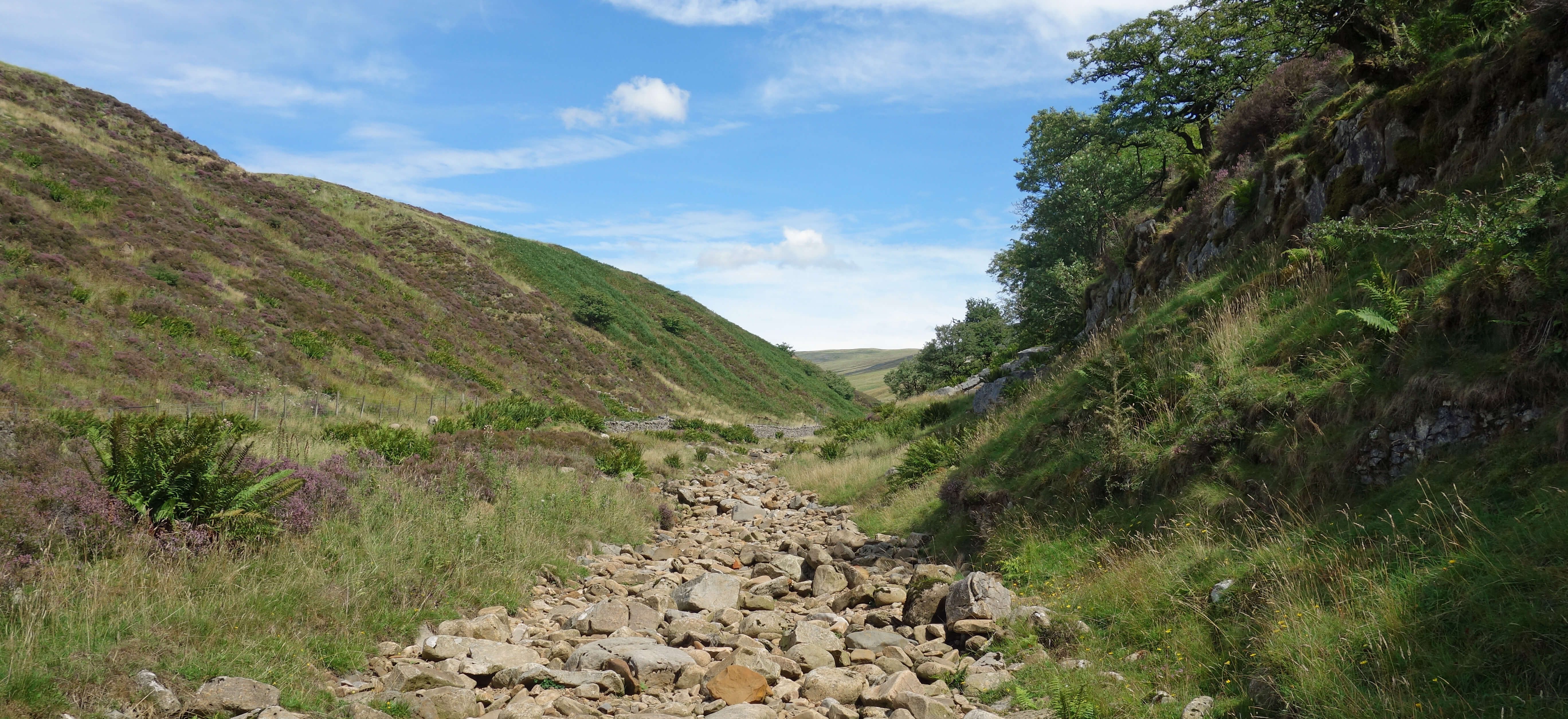
The dry valley of Ease Gill
At Cow Dub I saw a sign for another Recreational Route that I’d never heard of, the Lancashire Way ("Showcasing Lancashire: It's scenery, it's history, it's people"! (sic)). [1] I have since studied the route of this Way and I am appalled to see that at this point the path proceeds on the western slope above Ease Gill. This is in Cumbria! Ease Gill here is the Lancashire – Cumbria boundary. How can a so-called Lancashire Way, "designed to showcase this beautiful county", encourage walkers to walk in Cumbria?[1]. The Lancashire Way webpage has since removed the "it's"s.
Home Preamble Index Areas Dales Hills Lakes Places Reserves Rivers Structures Villages References Me
© John Self, 2018-

Top photo: The western Howgills from Dillicar; Bottom photo: Blencathra from Great Mell Fell