
Home
Preamble
Index
Areas
Dales
Hills
Lakes
Places
Reserves
Rivers
Structures
Villages
References
Me
Saunterings: Walking in North-West England
Saunterings is a set of reflections based upon walks around the counties of Cumbria, Lancashire and
North Yorkshire in North-West England
(as defined in the Preamble).
Here is a list of all Saunterings so far.
Guaranteed ad-free, AI-free and free!
168. To Lancashire’s Highest Point, Wherever It Is
The fog and frost at home did not deter my enthusiasm and I
was duly rewarded with sunshine at Cowan Bridge. My
objective was to walk to the highest point of Lancashire. But where is it?
It seems clear that the highest point must lie in the finger of Lancashire that points
north-east from Cowan Bridge and Ireby towards Crag Hill (682 metres) and Great Coum (687 metres), both of
which are in Cumbria. The tip of the Lancashire finger is half a kilometre south of Great Coum
at the County Stone and just south of that is Green Hill (628 metres).
Wikipedia and other online
sources consider Green Hill to be the county top for Lancashire, so that is where I headed.
I took the lane north-east from Cowan Bridge, skirting the village of Leck, and
walked on and on, up and up, in
pleasant sunshine, with fog still lingering below in some of the valleys. At the open access
moorland, there were limestone outcrops and several pot-holes dimpling the moor, with
typical names such as Rumbling Hole, Big Meanie and Lost John's Cave.
A group of cavers were preparing (and what a lot of gear cavers need!)
to tackle Gavel Pot, the largest shake-hole in
Britain, they said.
Out of politeness, they asked me where I was going and then commented that
the views should be good from there. Yes, I thought, better than the views were you’re
going – but each to their own.
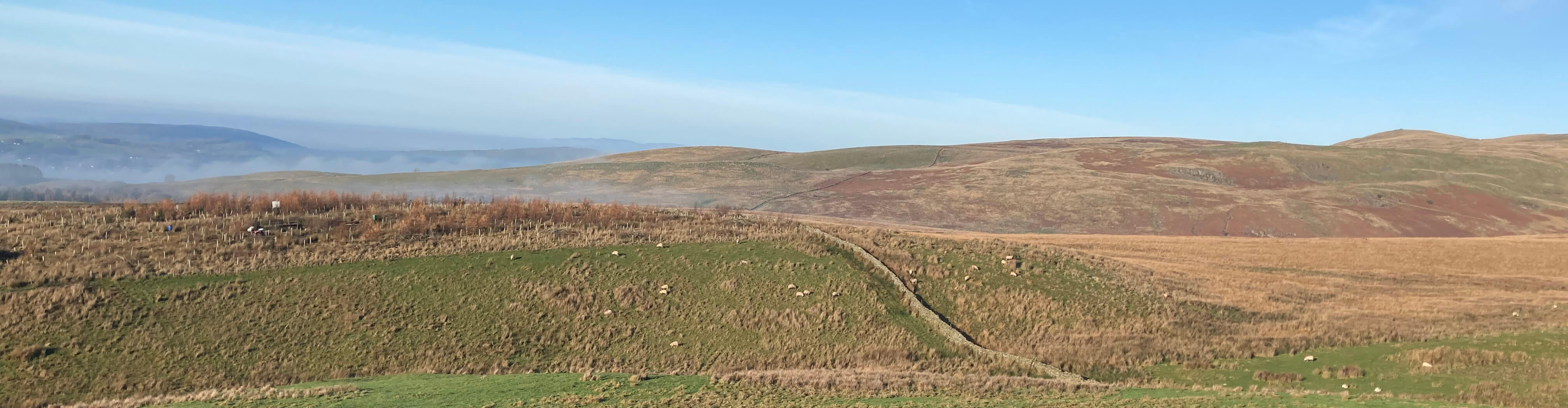
On reaching open access land, the view across to Barbon Low Fell, with
fog still lingering in the valley
Beyond the end of the road at the farm of Leck Fell House, which at about 400 metres must
be the highest and most isolated farm in Lancashire, the track continues for
another couple of miles, eventually petering out a mile short of Green Hill.
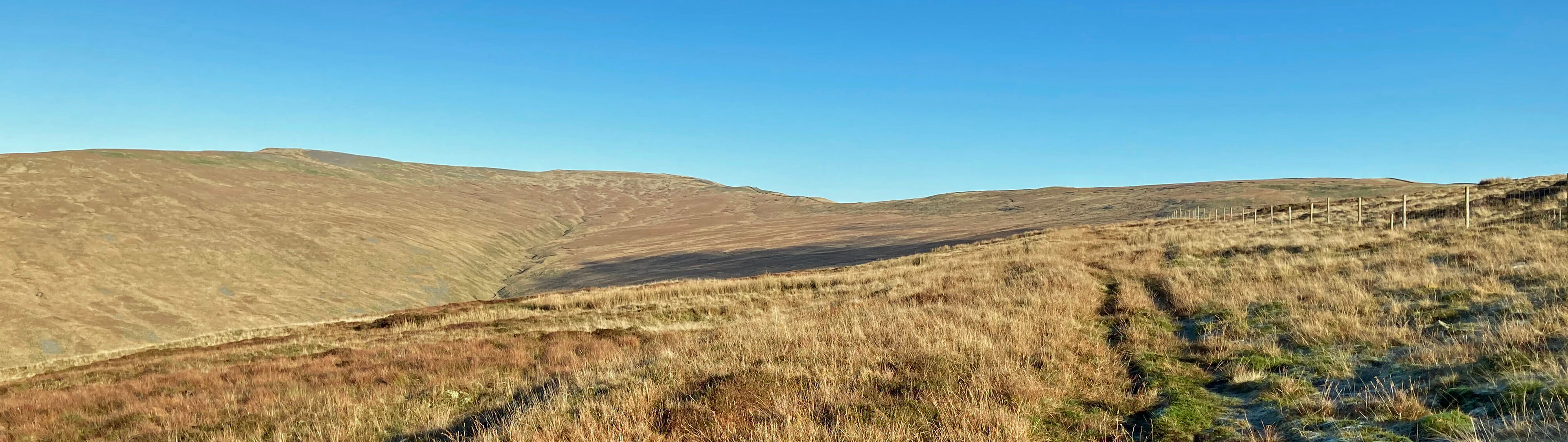
The first sight of Green Hill (it's the rise
on the horizon to the right, behind the posts)
with Crag Hill and Great Coum to the left
The frost had stiffened some of the mud but not reliably so.
After a steady scramble, I eventually reached the wall that runs along
the ridge and then followed it up Green Hill. From the top there were excellent views across to
Whernside and Ingleborough, both in patches of cloud, and to the west to Middleton Fell and
beyond, the hills that I had seen on the way up. White clouds billowed up the Ease Gill
valley, where I had been walking not long before.
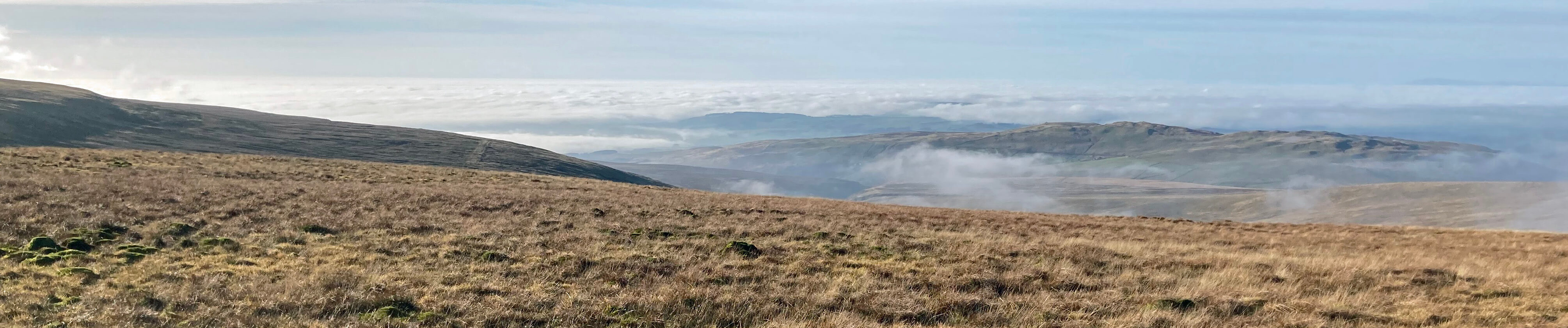
Looking back to the Ease Gill valley, with cloud billowing up it, and
beyond under a sea of cloud
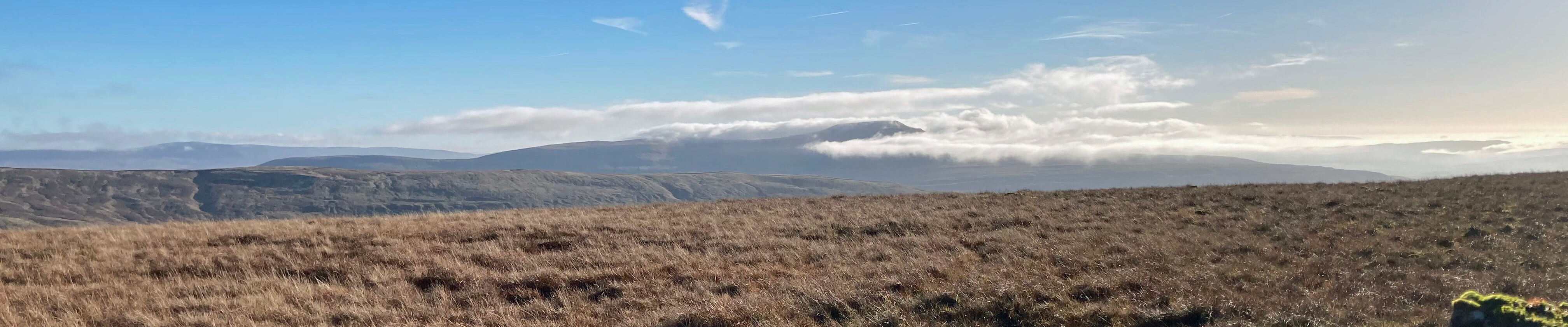
Ingleborough from Green Hill
I much enjoyed my solitary conquest (I saw nobody walking on the hills all day) of
what is said to be the highest
point of Lancashire. I am not overly fussed about such matters – fresh air, sunshine, and good views
after a period of grey, wet days was the main thing – but let’s consider it.
I had
read that a small pile of stones marks the top of Green Hill but I walked across the top and back without
noticing it. On reflection I think my impression was that the highest point of Green Hill was
on the other side, that is, east, of the wall (and therefore not in Lancashire) but I didn't pause to
think about it and it's hard to tell by eye anyway.
The pile of stones is actually about 10 metres west of the wall but
is it possible that the highest point of Green Hill
within Lancashire is a little lower than the 628 metres marked on the OS map
(map OL2)? Strangely, the OS 1:50000 map (no. 98) shows the height of Green Hill to be 626 metres,
with the dot indicating the highest point to the east of the wall.
If there are doubts about Green Hill then Gragareth, two miles south and given a height
of 627 metres by the OS, comes into play. So I headed for Gragareth, walking alongside the wall, with
views of the clouds drifting, rather appealingly, up and around the nearby hills. It is a delightful ridge walk in
summer. In winter, not so much. The bogs nearly ate my boots a couple of times.
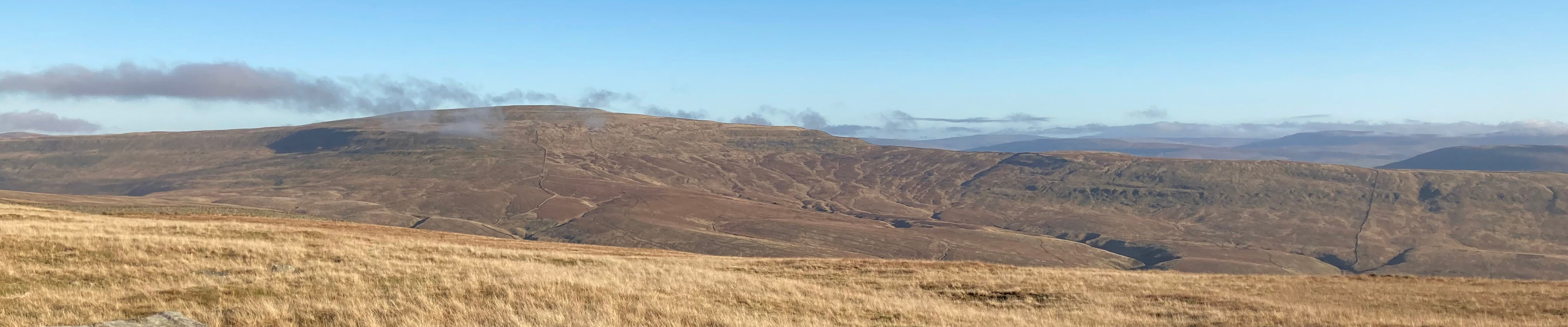
Whernside from along the ridge from Green Hill
After crossing a wire fence, I could at last see the trig point of Gragareth. Trig points
are placed in the best position for the purposes of triangulation, which is not always at the top
of a hill. Here, the broad plateau of Gragareth has a number of humps that I could well believe
are a little higher than the trig point. So could the real highest point of Gragareth be higher
than whatever is the highest point of Green Hill within Lancashire?
In 2014 the Database of British and Irish Hills
bluntly asserted that “Gragareth replaces Green
Hill as Lancashire county top, with a relocation of 100 metres”. According to the database,
Gragareth has a height of 628 metres, with the highest point being 100 metres east of the trig point,
while Green Hill has a highest point (let's assume it to be in Lancashire) of 627.5 metres. I don’t
know if the database has the authority to make such a pronouncement but anyway most websites and
books are either unaware of it or ignore it and continue to consider Green Hill to be
Lancashire’s highest point.
From the trig point I walked west and dropped down to the Three Men of Gragareth, with several other men
nearby, whom I supplemented by sitting among them to have a sandwich and watch the clouds drifting
up the valley, gradually dispersing as they came.
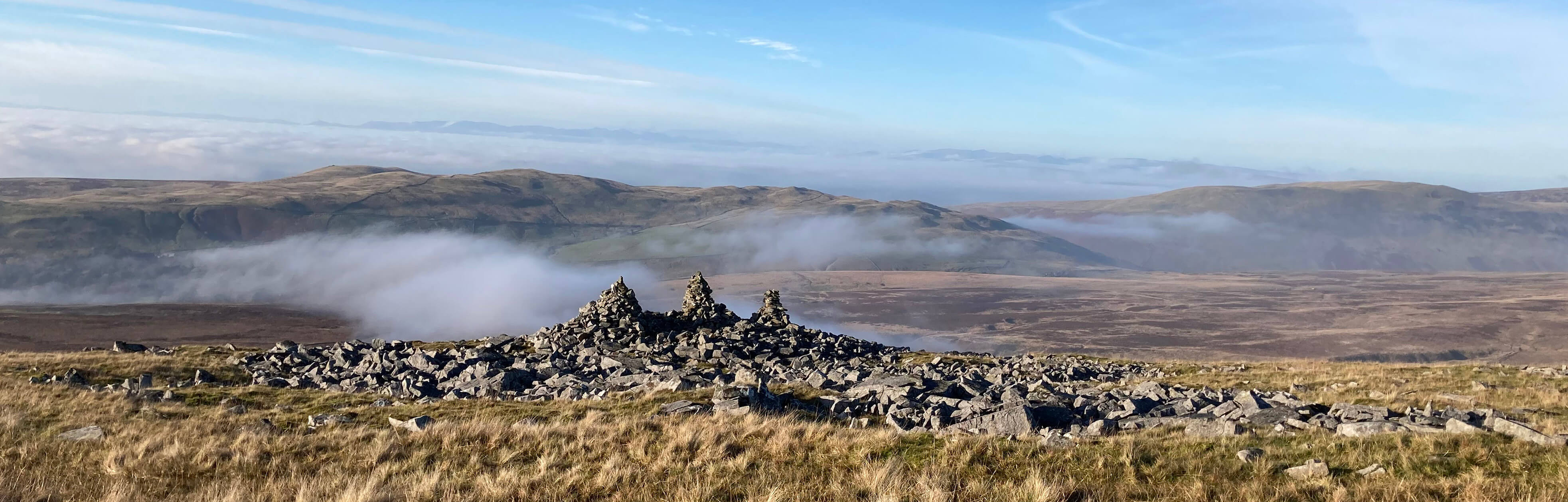
The Three Men of Gragareth
I set off down the road, passing the caver's cars from which the cavers had disappeared, having
sorted out all their gear.
I basked in the warmth of the setting sun directly ahead – but not for long as
I was soon engulfed in the cloud. On the way up I had envisaged returning on various footpaths across
fields around Leck but in the grey, damp murkiness this didn’t appeal. So I hurried, to the extent that
I could after a long walk, to Cowan Bridge for refreshment at the café before my bus.
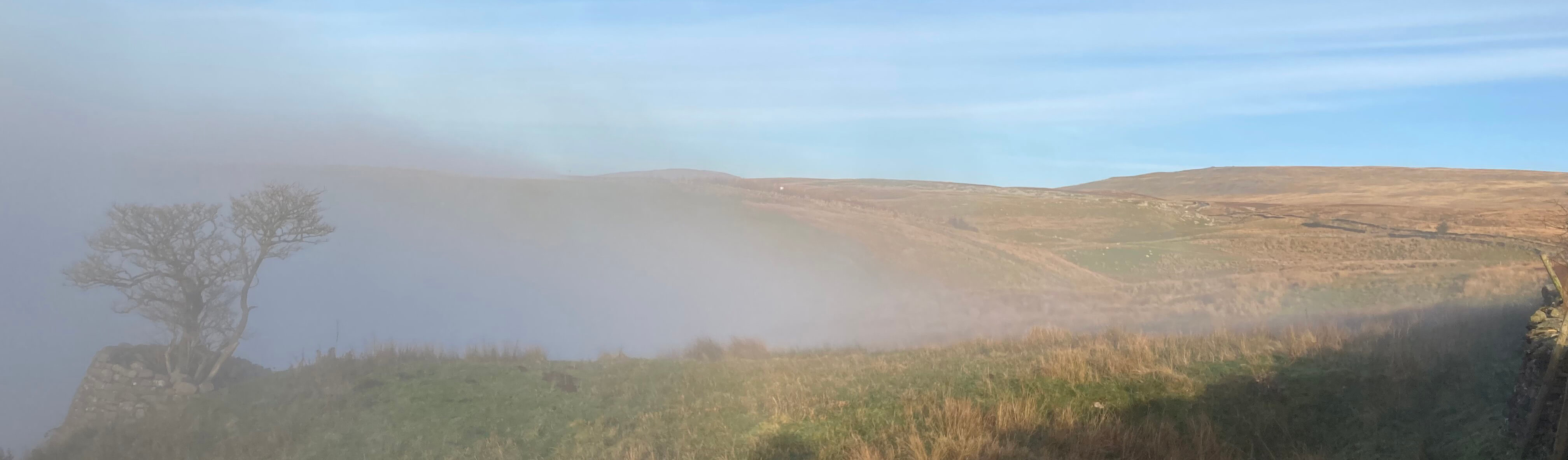
The last view of Gragareth before the cloud reached me
I returned home to a cold, dark, wet November evening to learn that it had stayed foggy
and grey here all day,
which is unfortunate for the locals but made my escape to the sunlit uplands seem even more of a bonus.
Date: November 29th 2022
Start: SD636764, Cowan Bridge (Map: OL2)
Route: NE past Bank House, Fellside, along track past Leck Fell House – end of
track – NE – Green Hill – S, SW – Gragareth – W to track past Leck Fell House – SW – Cowan Bridge
Distance: 12 miles; Ascent: 530 metres
738 +590 /2400
Home
Preamble
Index
Areas
Dales
Hills
Lakes
Places
Reserves
Rivers
Structures
Villages
References
Me
© John Self, 2018-
Contact: johnselfdrakkar@gmail.com

Top photo: The western Howgills from Dillicar;
Bottom photo: Blencathra from Great Mell Fell