

Home Preamble Index Areas Map References Me Drakkar
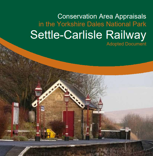 I was pleased to see that throughout the 80-page
Yorkshire Dales National Park's Conservation Area Appraisal of the Settle-Carlisle Railway
the viaduct below Whernside is referred to as Batty Moss Viaduct. It is conceded that the viaduct is now
more commonly known as the Ribblehead Viaduct but the Area Appraisal itself does not use that name.
It also describes the Settle-Carlisle Railway as “a folly that was an accidental by-product of two rivalling companies”.
 In The Land of the Lune
I had suggested, not altogether seriously, that the viaduct should be called Batty Moss Viaduct, for four
reasons: (1) Batty Moss Viaduct is the original name; (2) It is the convention to name viaducts after what
they cross, which here is Batty Moss; (3) The viaduct does not cross the Ribble and is not really at the
head of Ribblesdale – if anything it is more at the head of Chapel-le-Dale; (4) The construction of the
viaduct was somewhat batty.
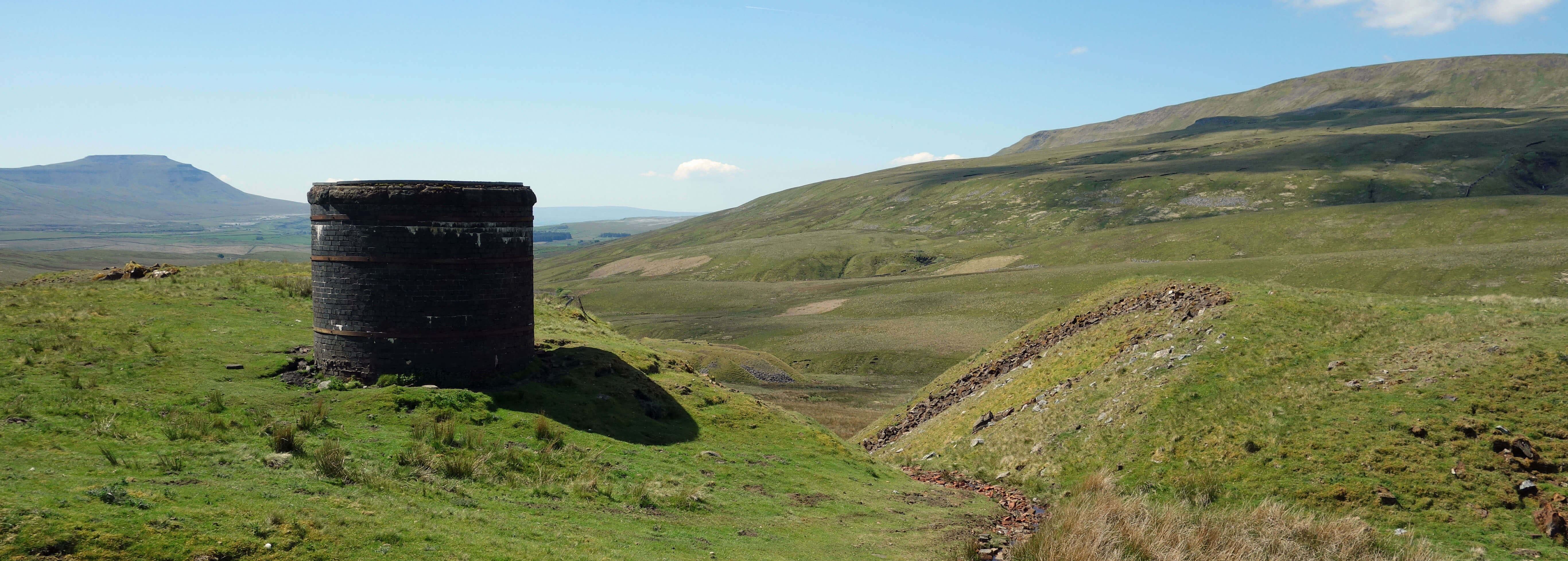
A shaft of the Bleamoor Tunnel (Ingleborough to the left, Whernside to the right)
Dropping down into upper Dentdale through the remains of the conifer plantations there were spectacular views of Dentdale with the railway line sweeping along the eastern flank. Beyond Dent Head Farm, there’s a view of the Dent Head Viaduct of ten arches. We paused at Bridge End, where we had said that we would review our plans. I had originally thought of walking to three viaducts but it was a hotter day than we were used to. I would have been content now with two viaducts and a long siesta. But Ruth was for pressing on, keeping us on our legs for most of the 7½ hours that we had to fill between the buses. It was certainly pleasant enough strolling down Dentdale alongside the River Dee shimmering over little waterfalls. We passed a body spread-eagled on rocks by the river-side, sun-bathing or dead, we weren’t sure.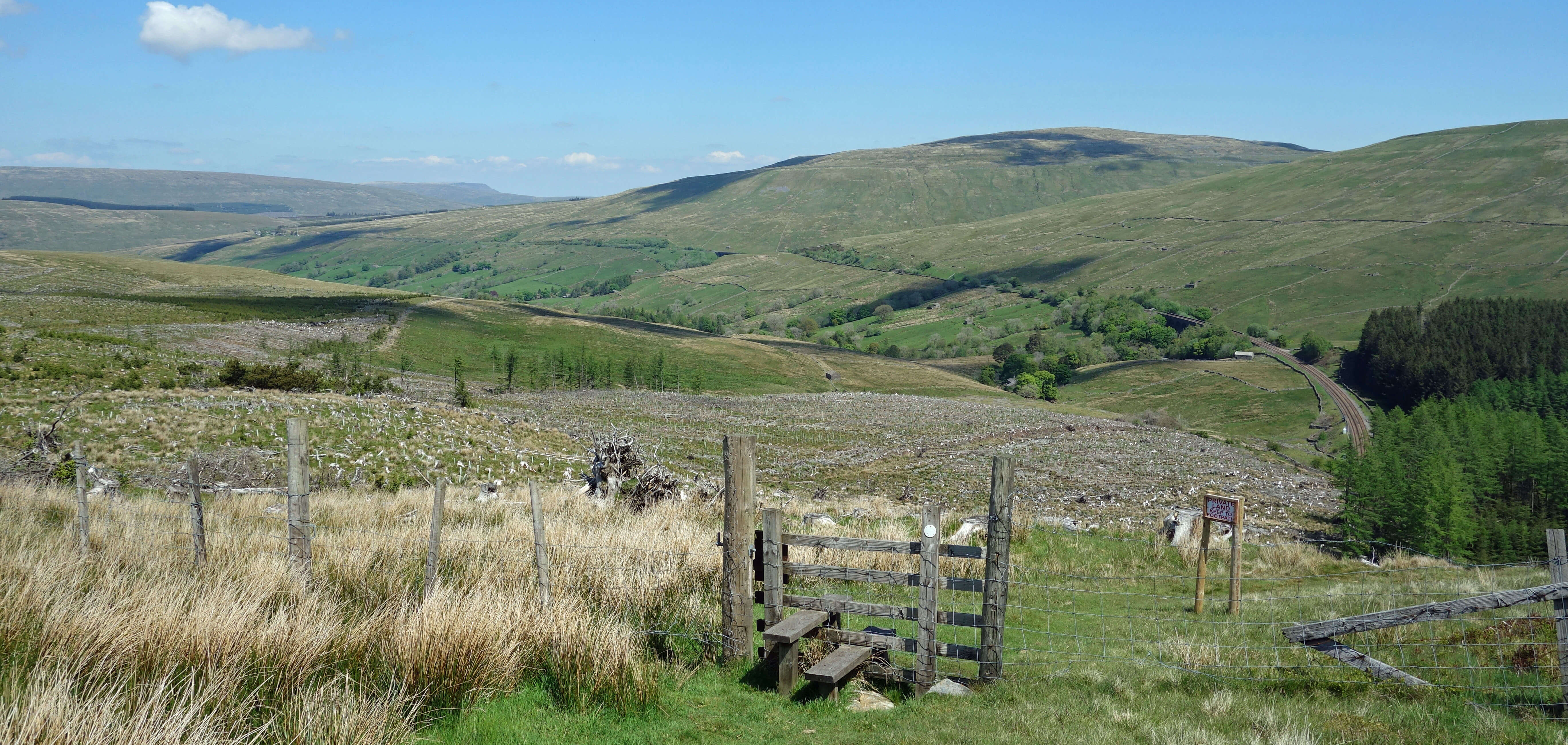
Dropping down into Dentdale, with the railway line emerging from the tunnel to the right

Dent Head Viaduct
After reluctantly repelling the entreaties of a lad at Stone House tempting us with ice-cream, we paused for a sandwich (ice-cream before lunch is just not de rigueur) by the path that passes under the Artengill Viaduct of eleven arches. This viaduct is made of the local ‘Dent marble’, a fossil-rich form of limestone. On an earlier occasion we had paused to look at the fossils in the large limestone blocks at the base of the viaduct but this time we continued, rather wearily, up the long track, until we reached the Pennine Bridleway at a height of about 500 metres again and could at last begin our return towards Ribblehead. Most of this bridleway path was as smooth as a snooker table and it was possible to walk barefoot, which is to be recommended. Ruth said that she got a second wind during this stretch. I was still on my first wind but I had little of it left.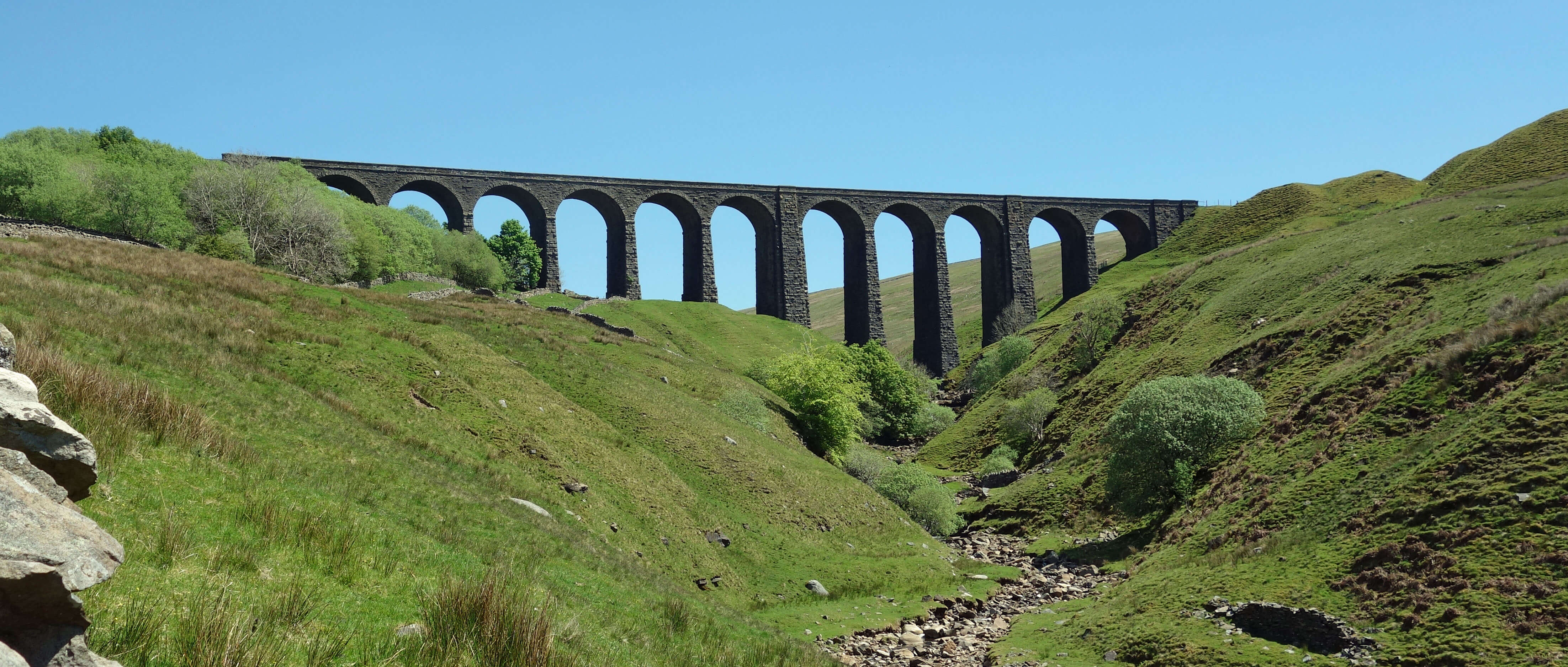
Artengill Viaduct
We continued accompanied by many skylarks and with fine views, as we’d had throughout the walk, stimulating reminiscences about previous expeditions over these hills: Great Knoutberry Hill, Wild Boar Fell, Middleton Fell, Dodd Fell, Pen-y-ghent, Pendle, and Ingleborough. Crossing the road, we now joined the Dales Way, where Ruth glided ahead like a gazelle over the moors (if we had gazelles on our moors) while I trudged, exhausted, behind. I restrained her for a while with a drawn-out exposition of the plot of a Friday Night Dinner episode, the one where Jim tips paint over himself. But then she was off again.
Batty Moss Viaduct, from Runscar Scar
Returning to the road, we had an ice-cream, our first al fresco ice cream since the summer of 2019. By such small steps we are measuring our return to ‘normality’. And by such a multitude of steps, I am exhausting myself (Ruth less so, it seems).
Home Preamble Index Areas Map References Me Drakkar
© John Self, Drakkar Press, 2018-

Top photo: The western Howgills from Dillicar; Bottom photo: Blencathra from Great Mell Fell