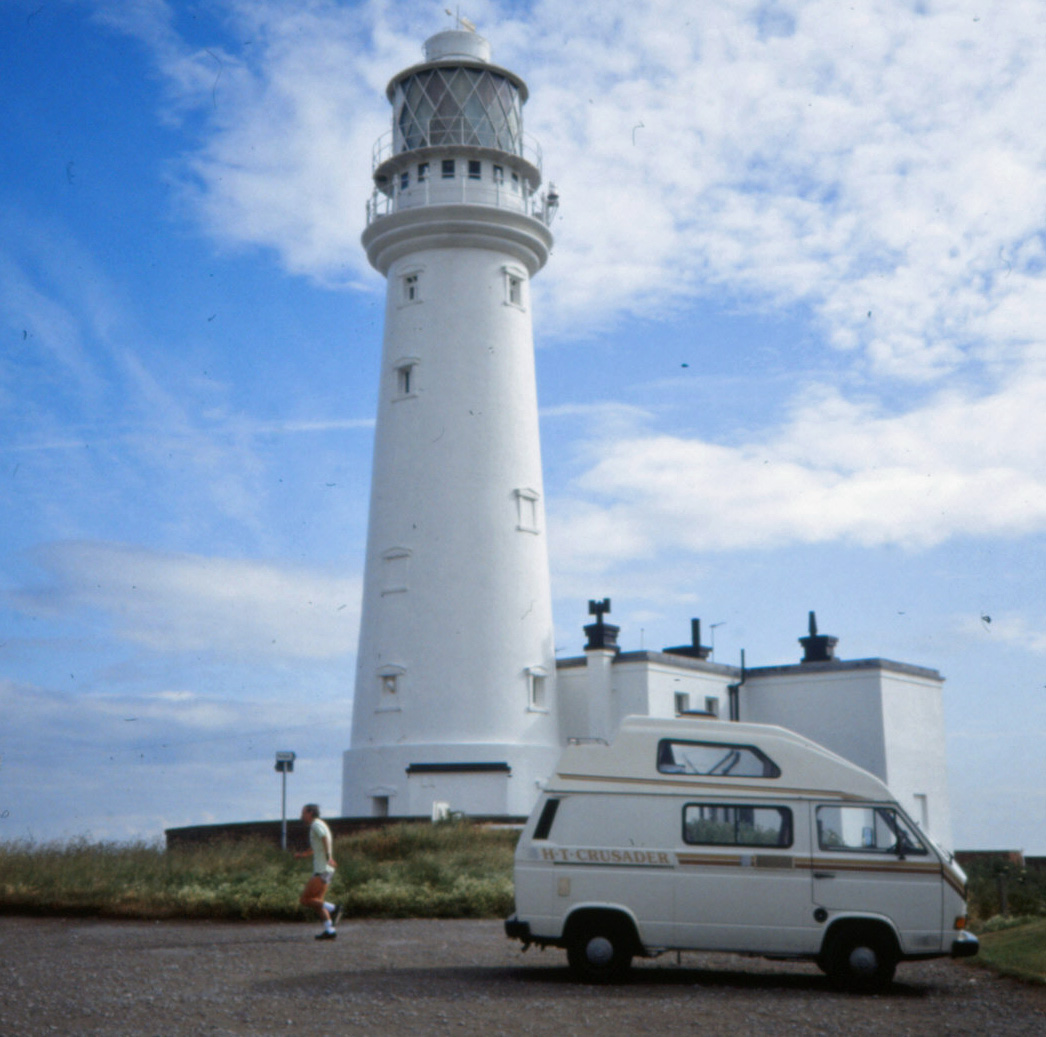
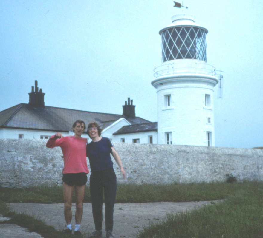
 The Run-Up
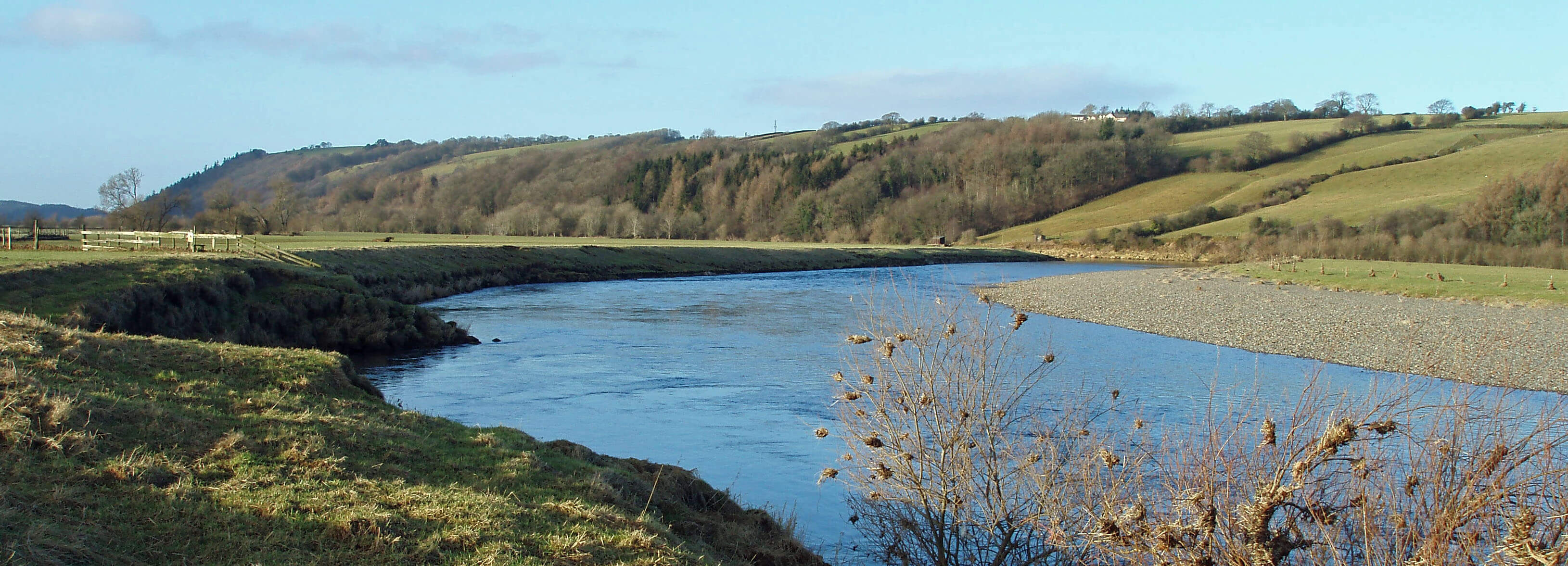
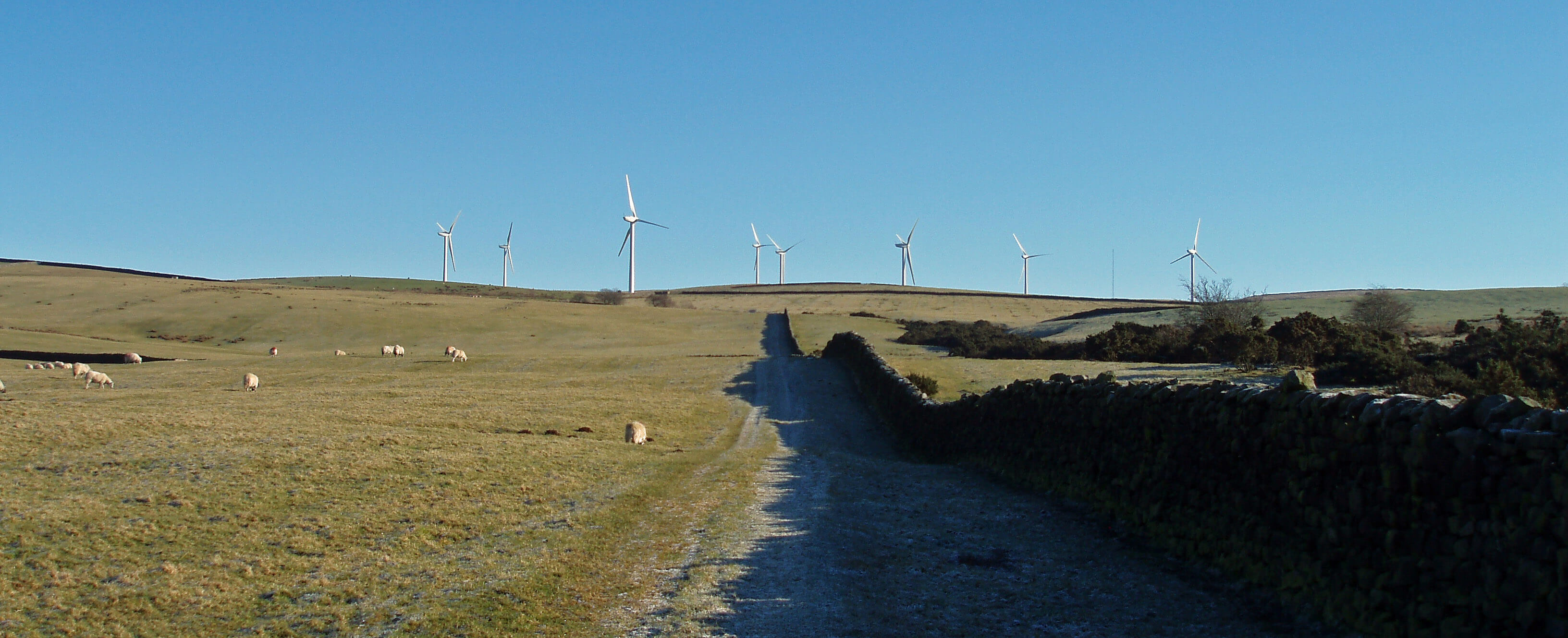
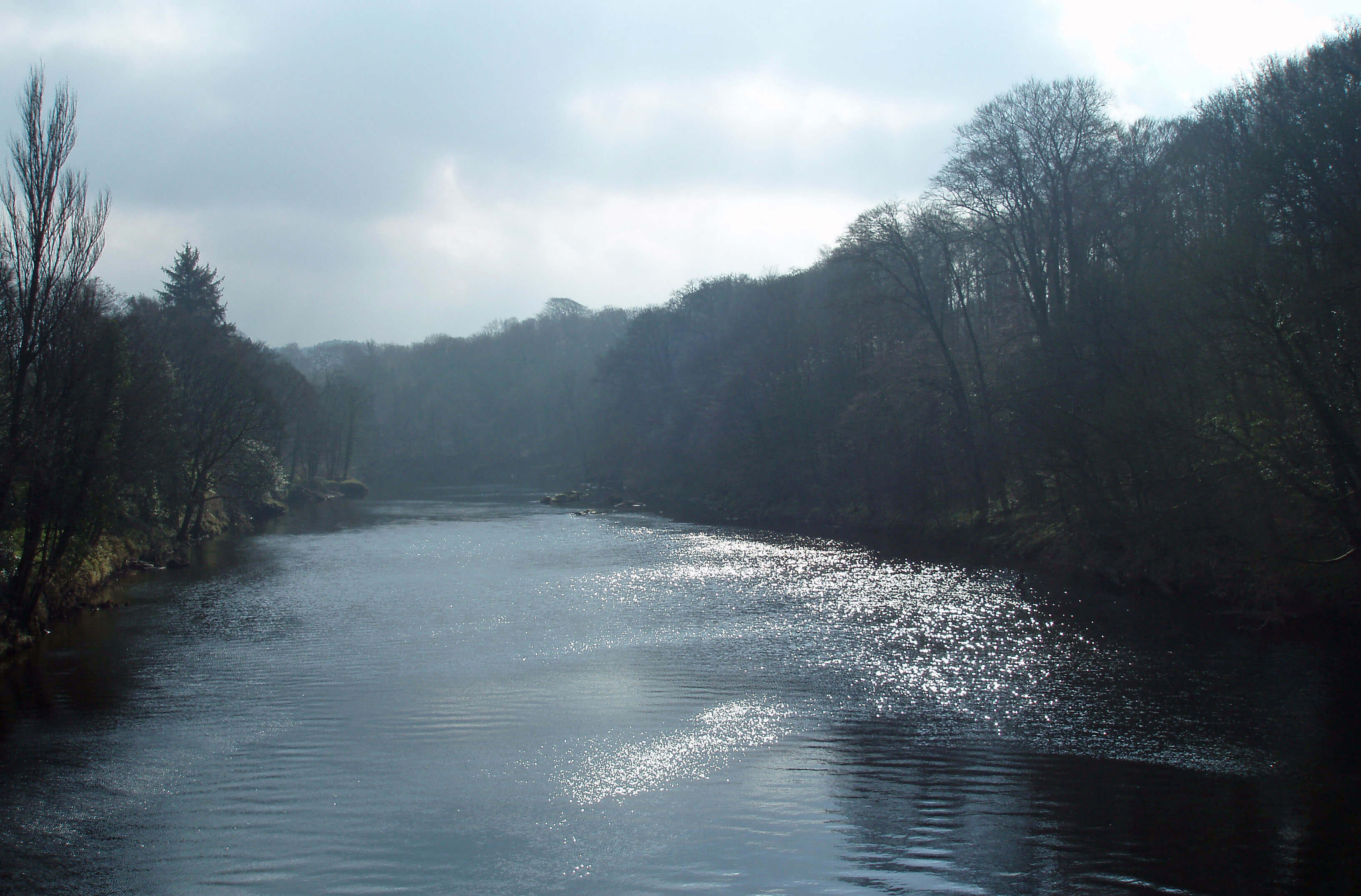
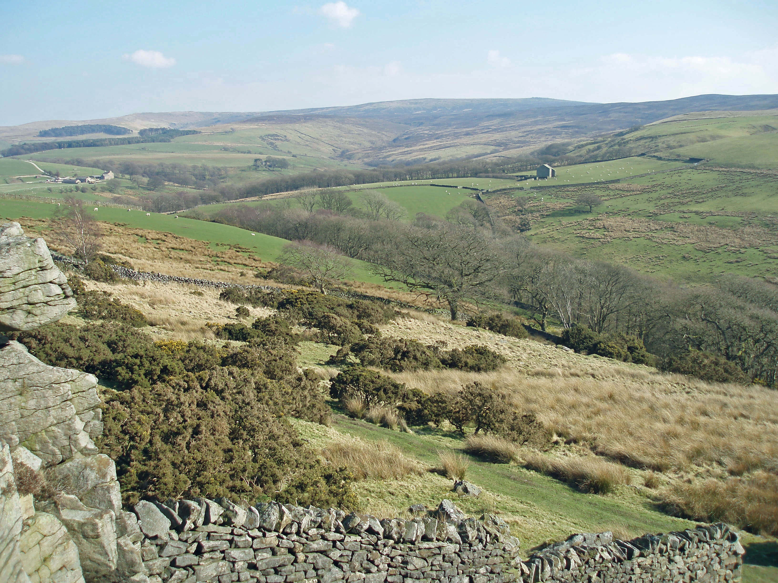
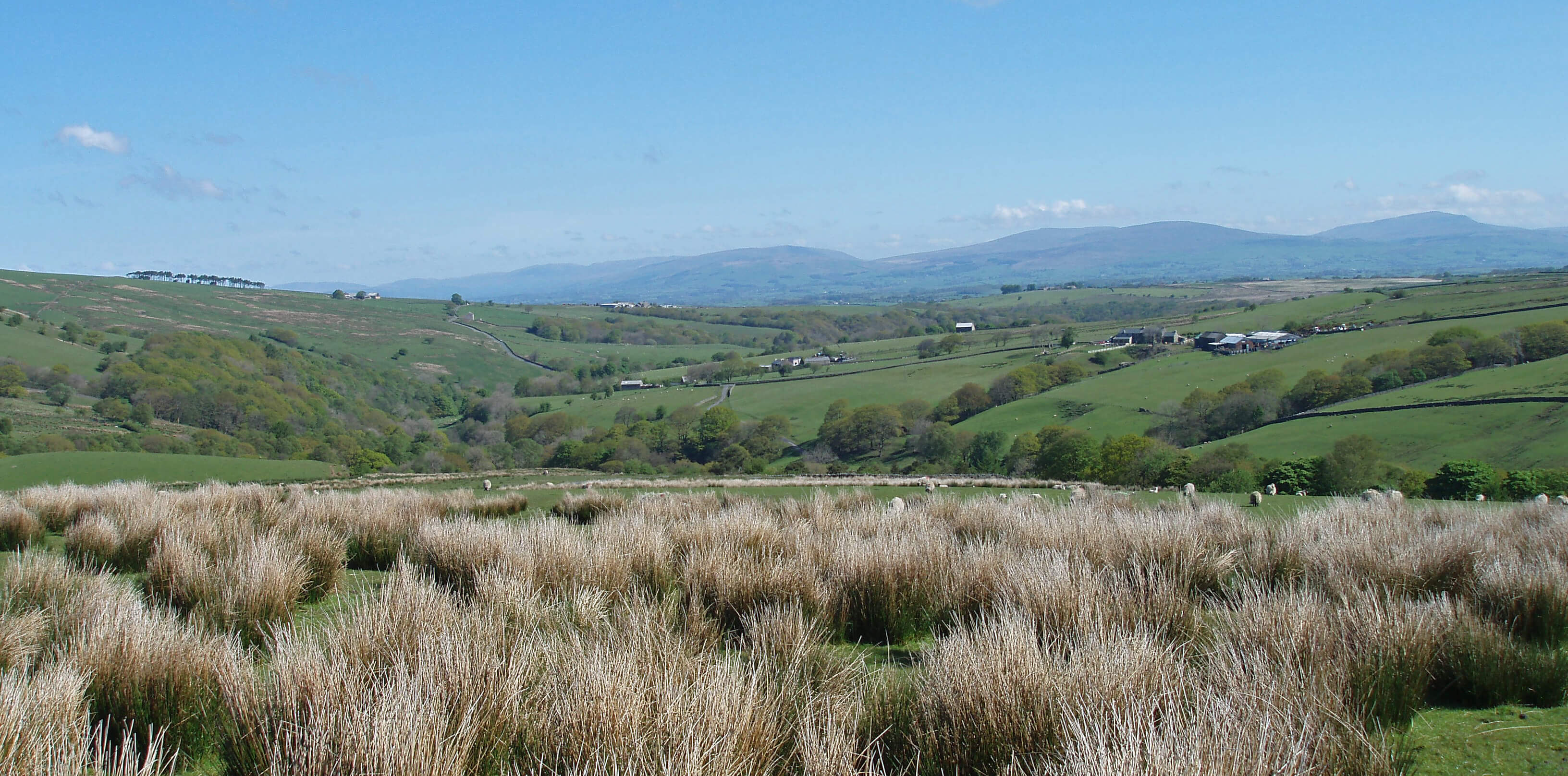
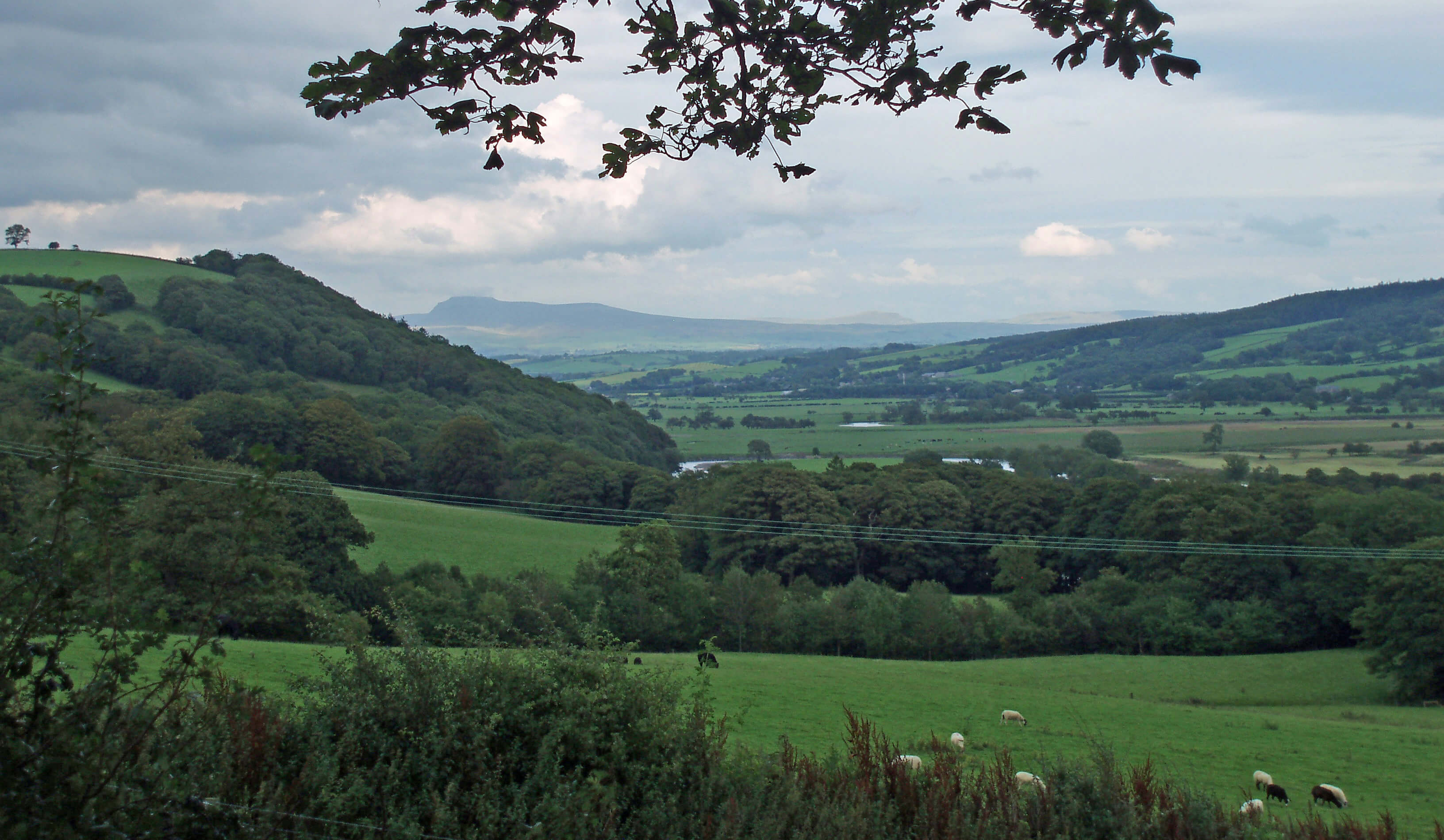
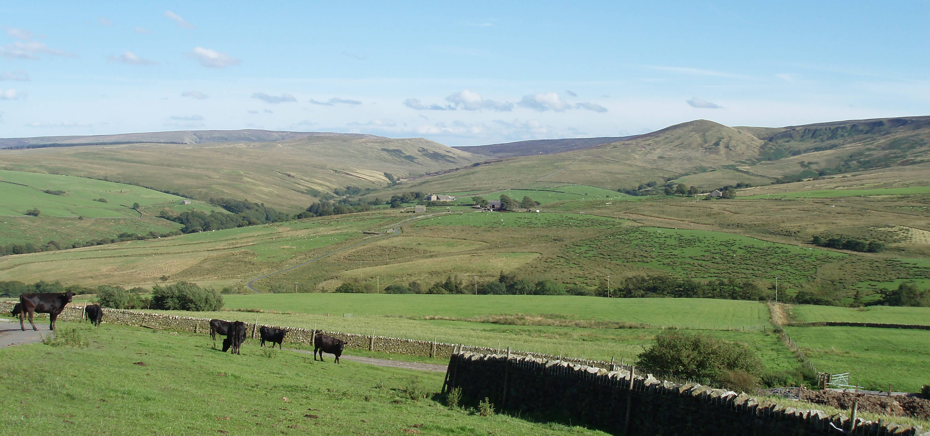
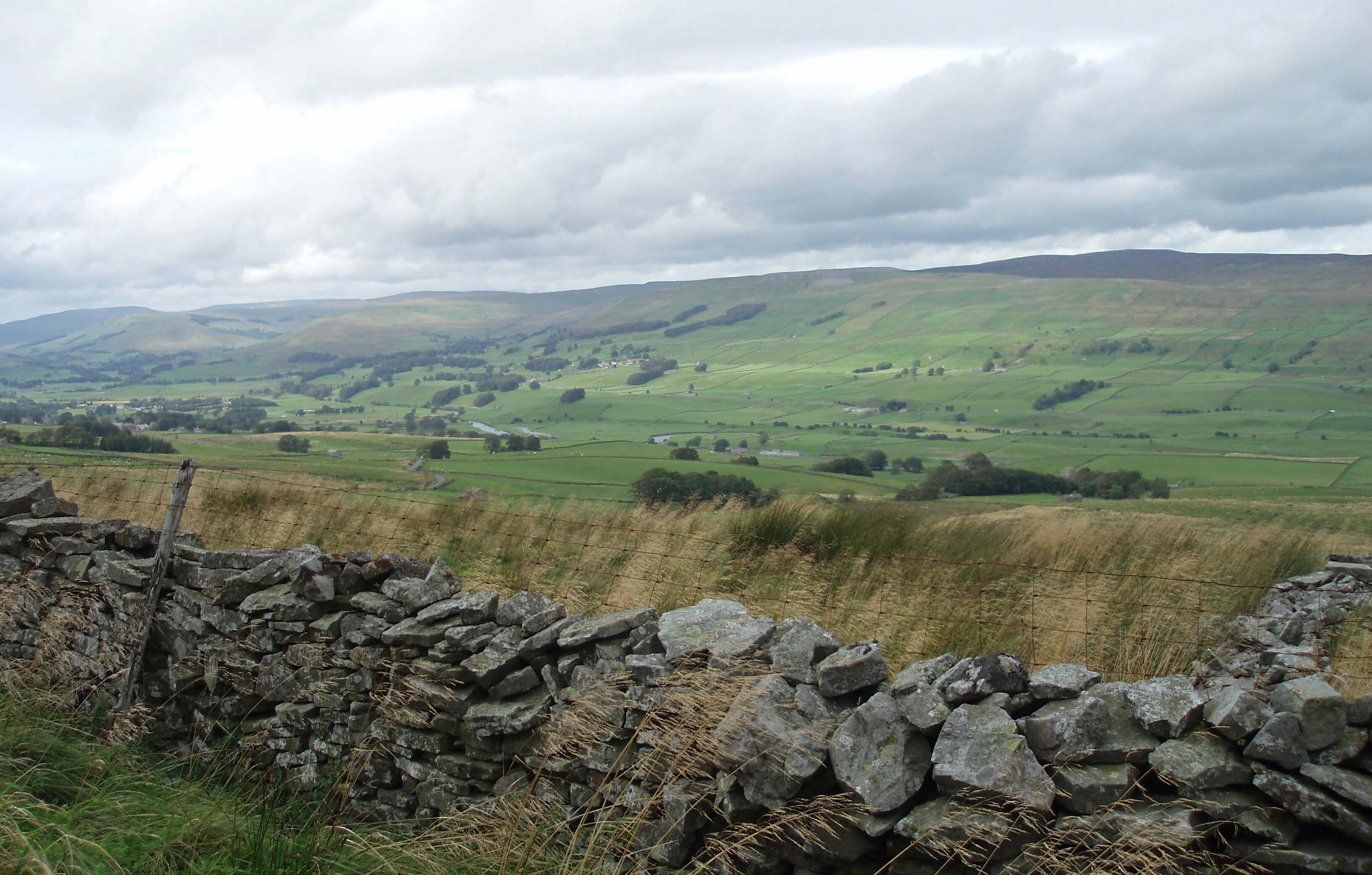
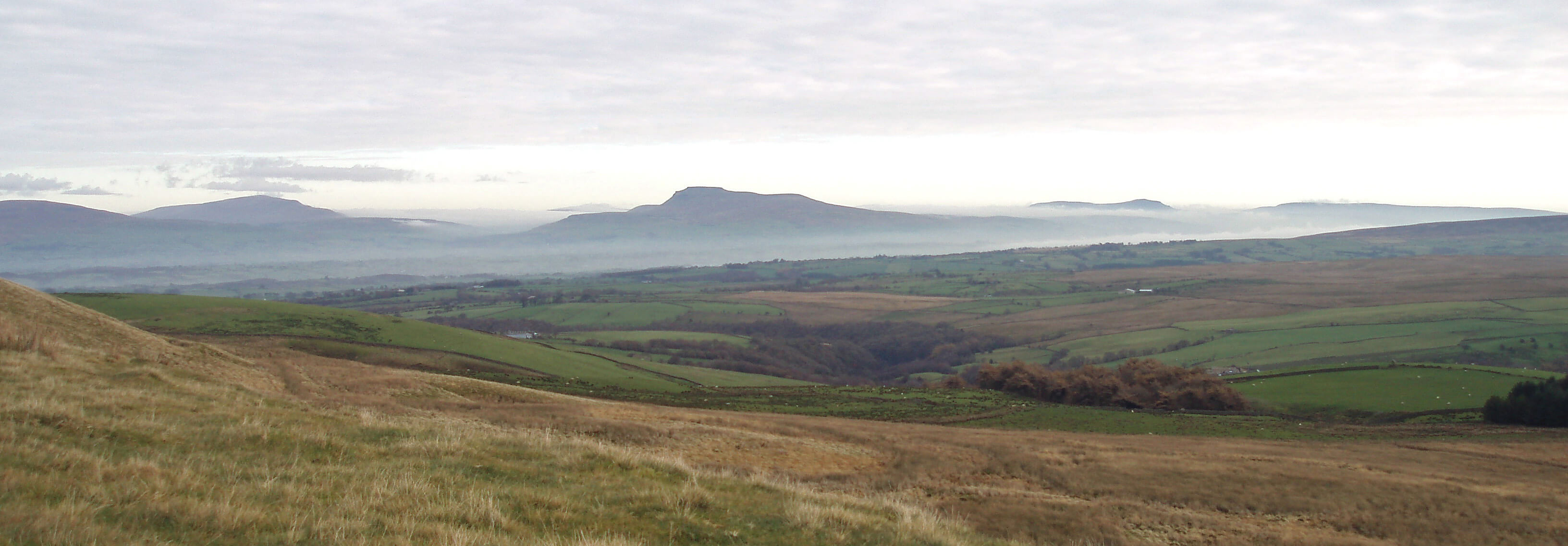
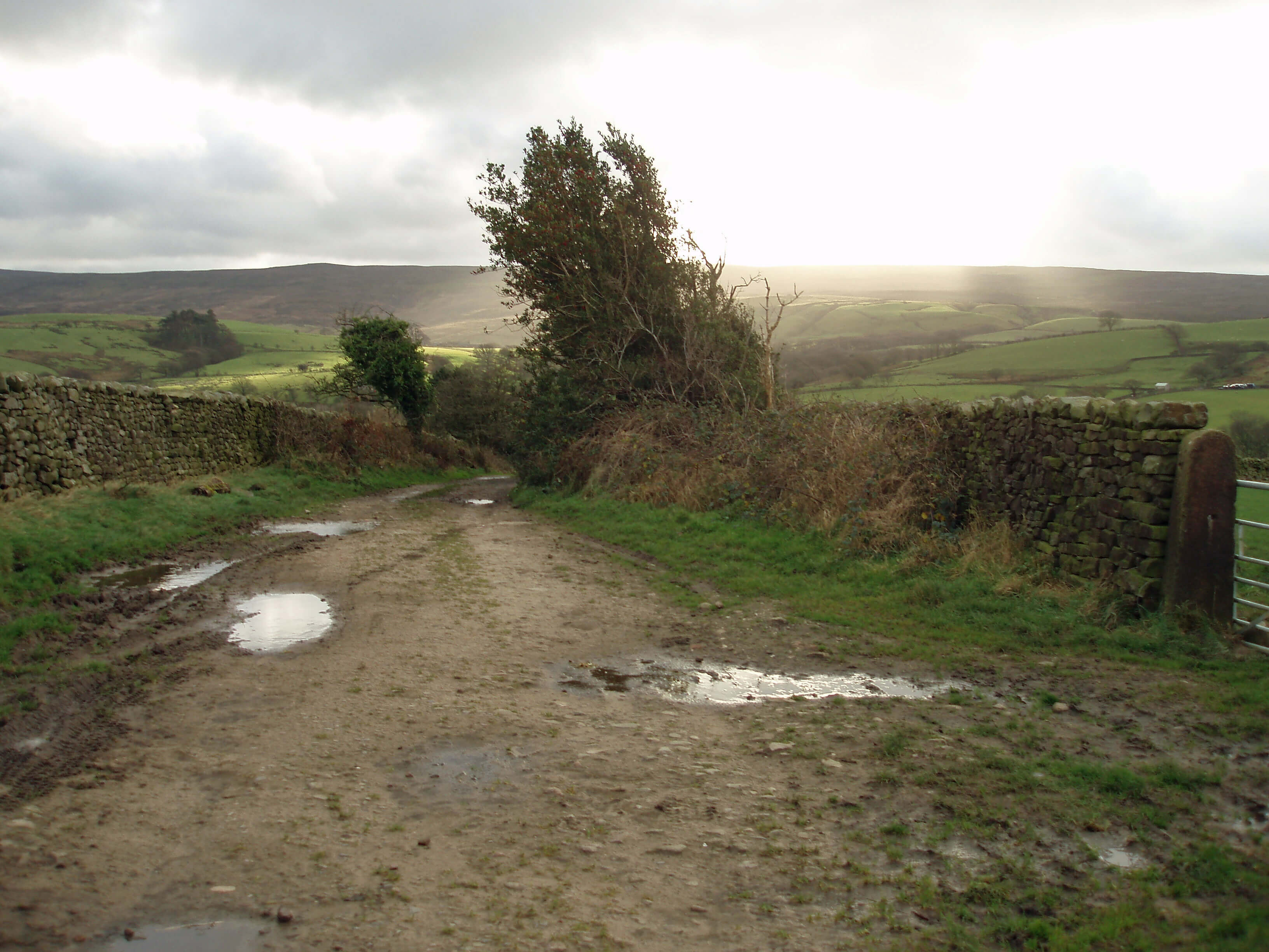
 Right: Part of my running arena: Brookhouse, Caton, Halton and the Lune valley from Quarry Road. A
standard short run is from Brookhouse to the Waterworks Bridge visible to the right. Quarry Road
is the road up to the windmills, to which I usually run across fields rather than up the road (when I
am fit enough).
Right: Part of my running arena: Brookhouse, Caton, Halton and the Lune valley from Quarry Road. A
standard short run is from Brookhouse to the Waterworks Bridge visible to the right. Quarry Road
is the road up to the windmills, to which I usually run across fields rather than up the road (when I
am fit enough).
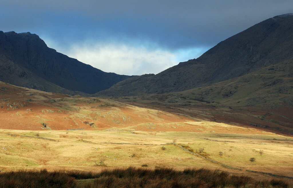
 Left: Dow Crag and Coniston Old Man to the Langdale Pikes, across the Lune valley, from near the windmills.
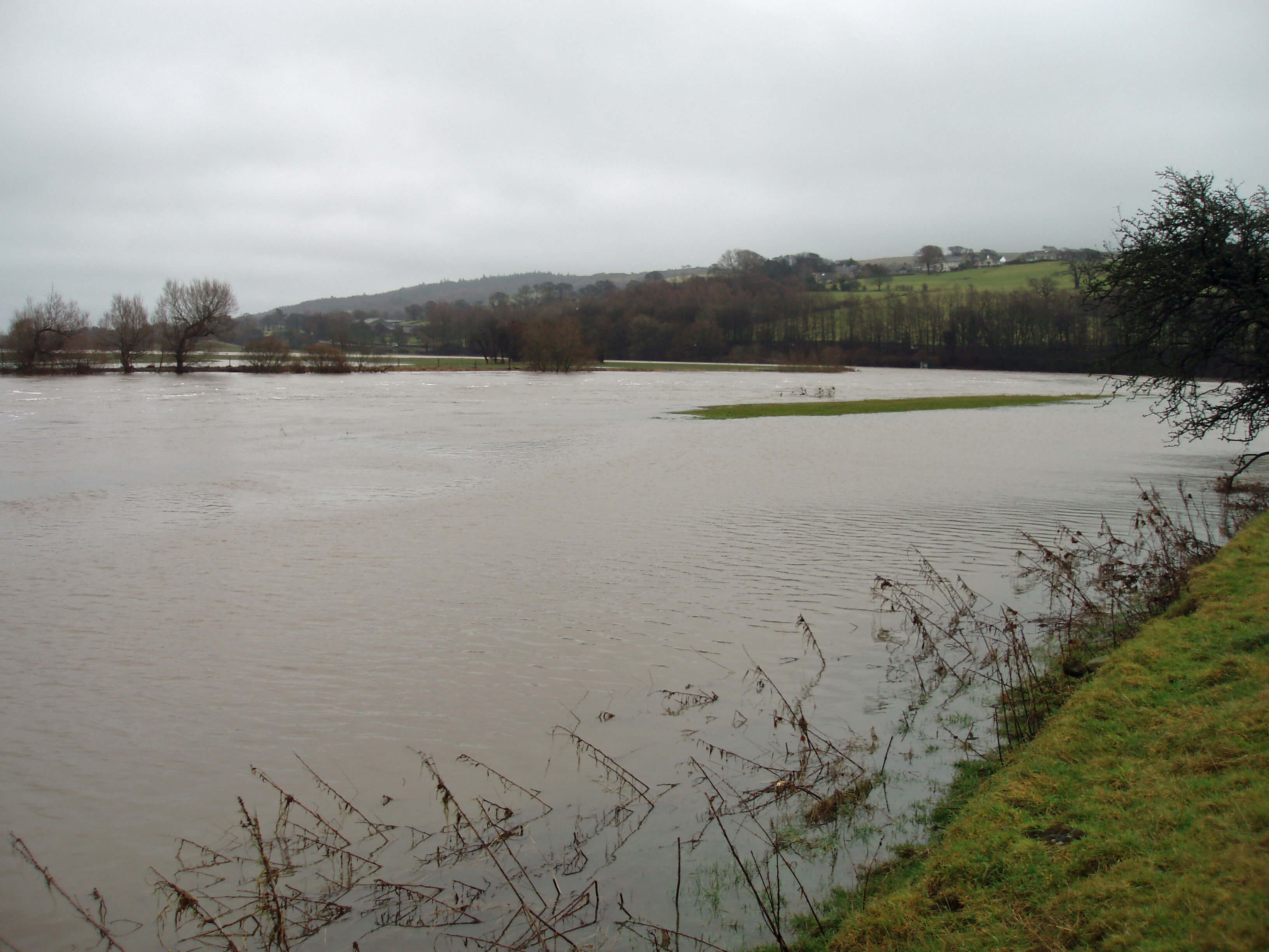
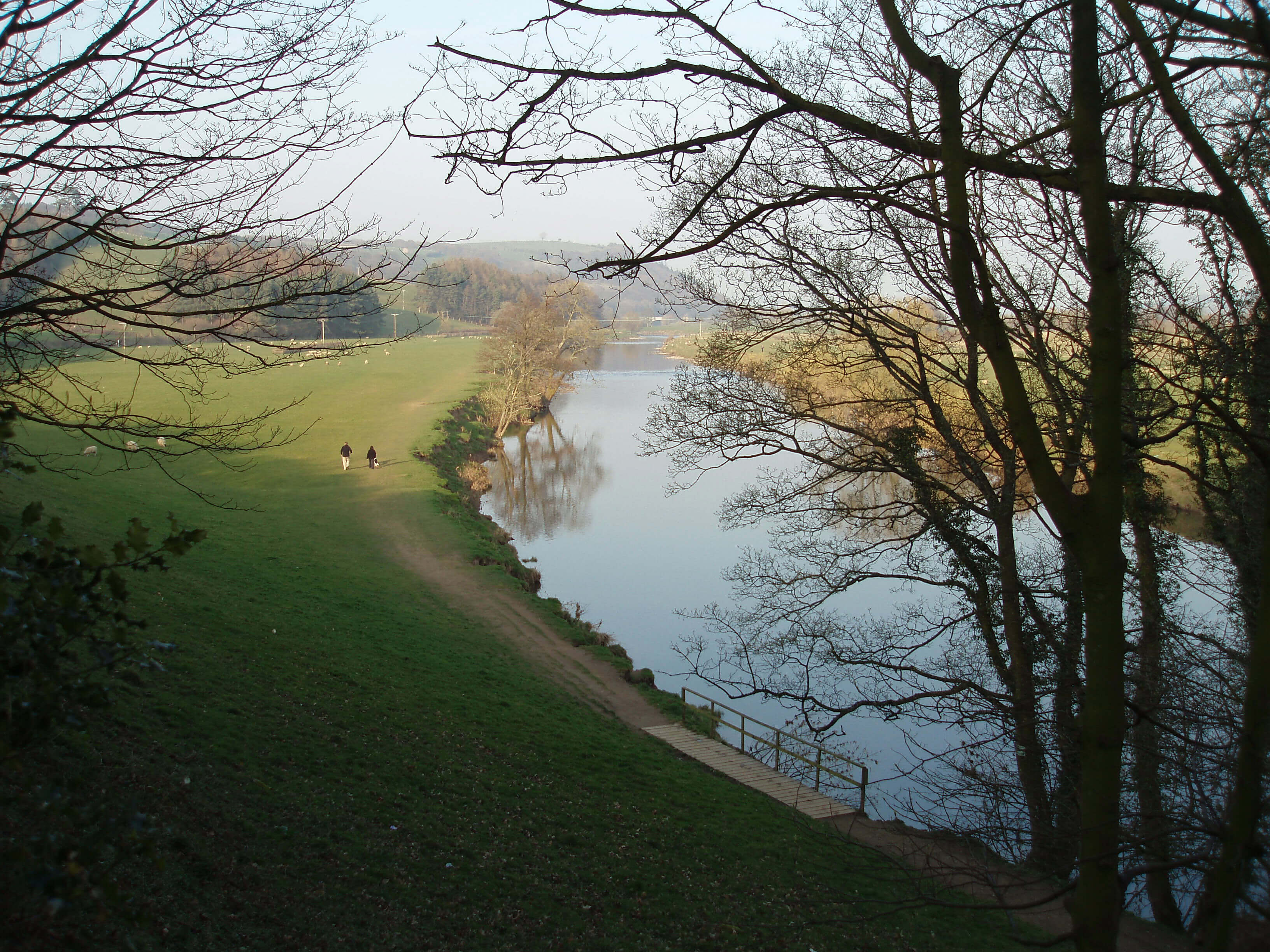
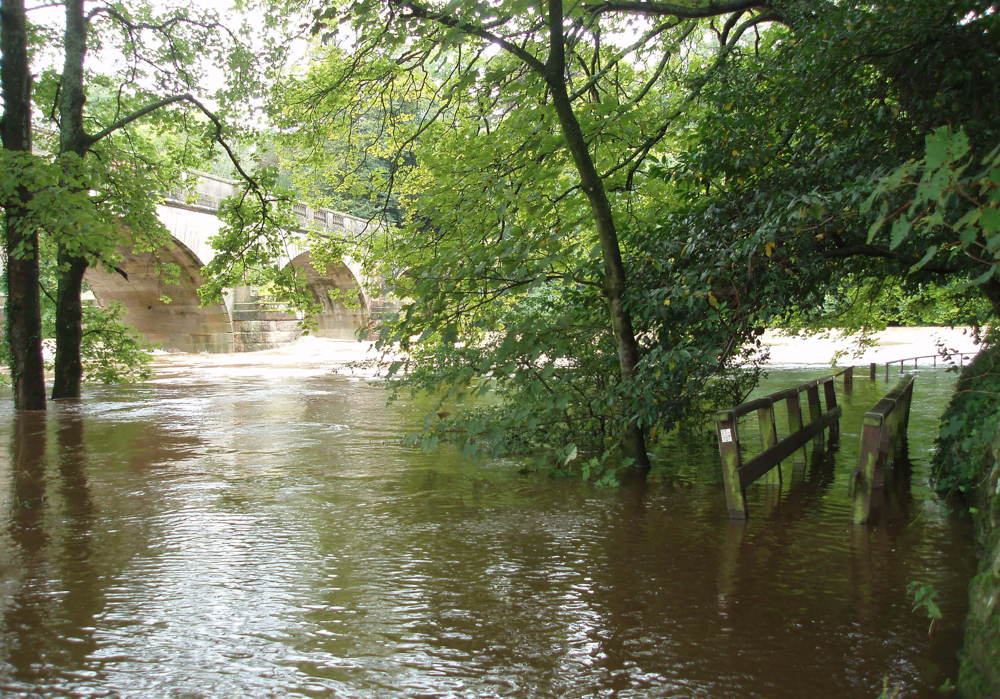
 Unfortunately, the weather has played its part in limiting my running. It rained all day Saturday and Sunday. The left photograph
shows my riverside path to the Waterworks Bridge (the little island is normally on my path, with the river beyond it). The
right photograph shows my path to the fishermen’s hut (this is normally a green field, with the river beyond the nearly
submerged fence). I later discovered that the footbridge I (used to) cross to reach the hut has been washed away. I doubt
that the Angling Club will be in hurry to replace it, as we are outside the fishing season. This is a pity, as the run up-river,
now out of commission, is serenely peaceful in winter, when the frisky bullocks of summer are no longer there. I liked to run
a little further up the river - to the hut, then to Claughton Beck, then to the River Wenning - as I became fitter.
Unfortunately, the weather has played its part in limiting my running. It rained all day Saturday and Sunday. The left photograph
shows my riverside path to the Waterworks Bridge (the little island is normally on my path, with the river beyond it). The
right photograph shows my path to the fishermen’s hut (this is normally a green field, with the river beyond the nearly
submerged fence). I later discovered that the footbridge I (used to) cross to reach the hut has been washed away. I doubt
that the Angling Club will be in hurry to replace it, as we are outside the fishing season. This is a pity, as the run up-river,
now out of commission, is serenely peaceful in winter, when the frisky bullocks of summer are no longer there. I liked to run
a little further up the river - to the hut, then to Claughton Beck, then to the River Wenning - as I became fitter.
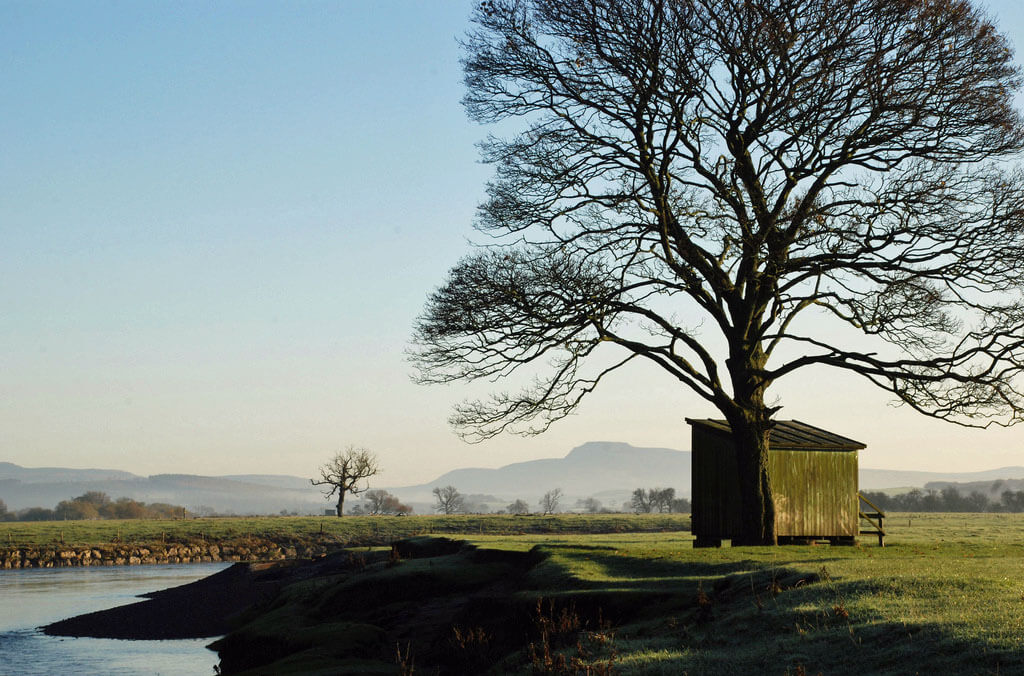
 Right: The fishermen’s hut by the Lune, with Whernside and Ingleborough some 15 miles beyond.
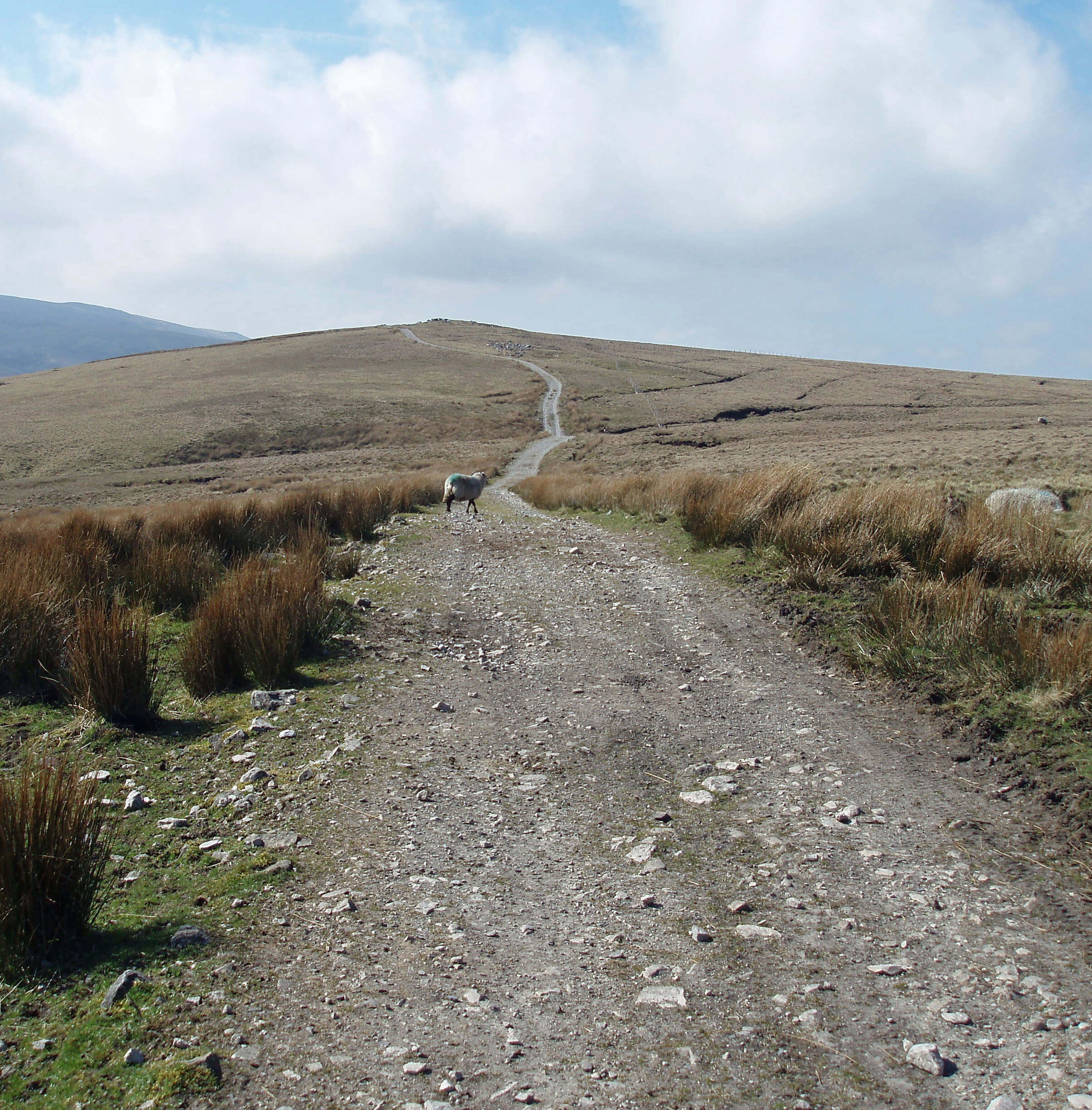
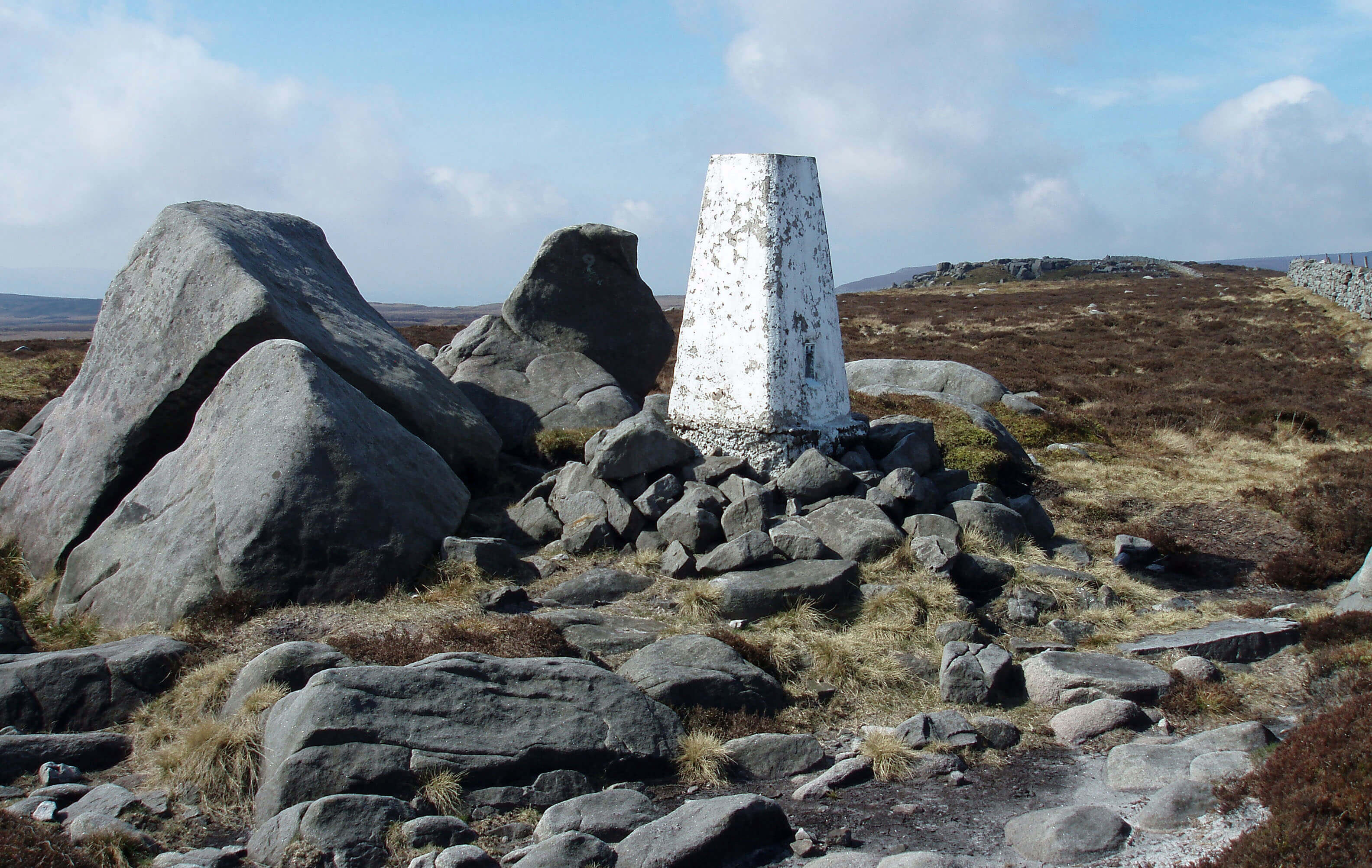
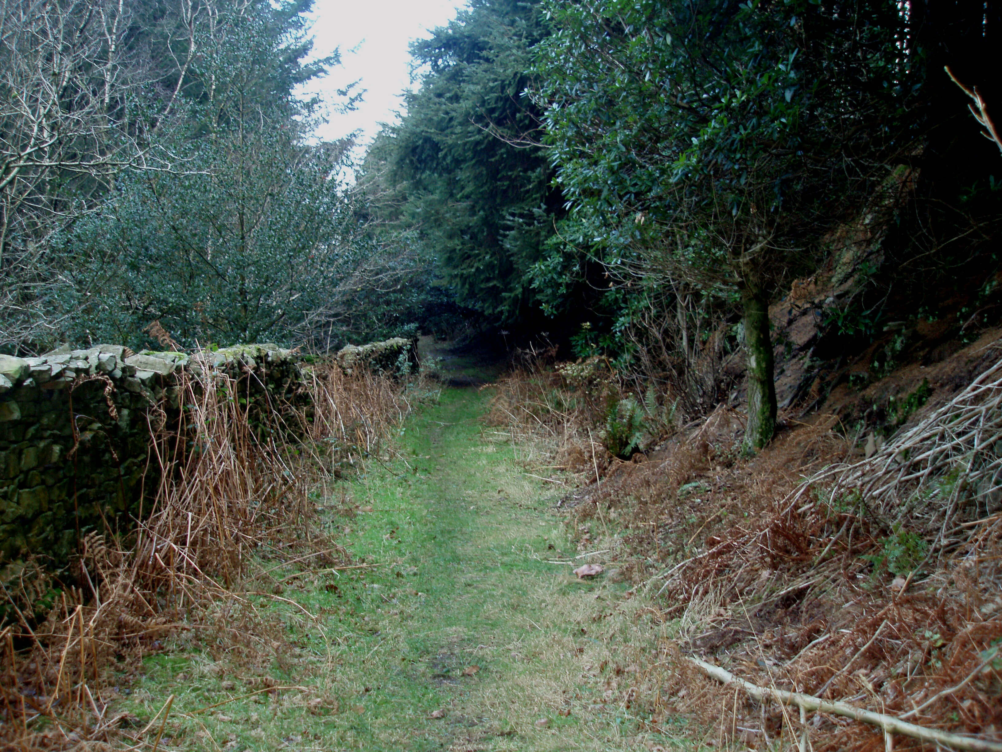
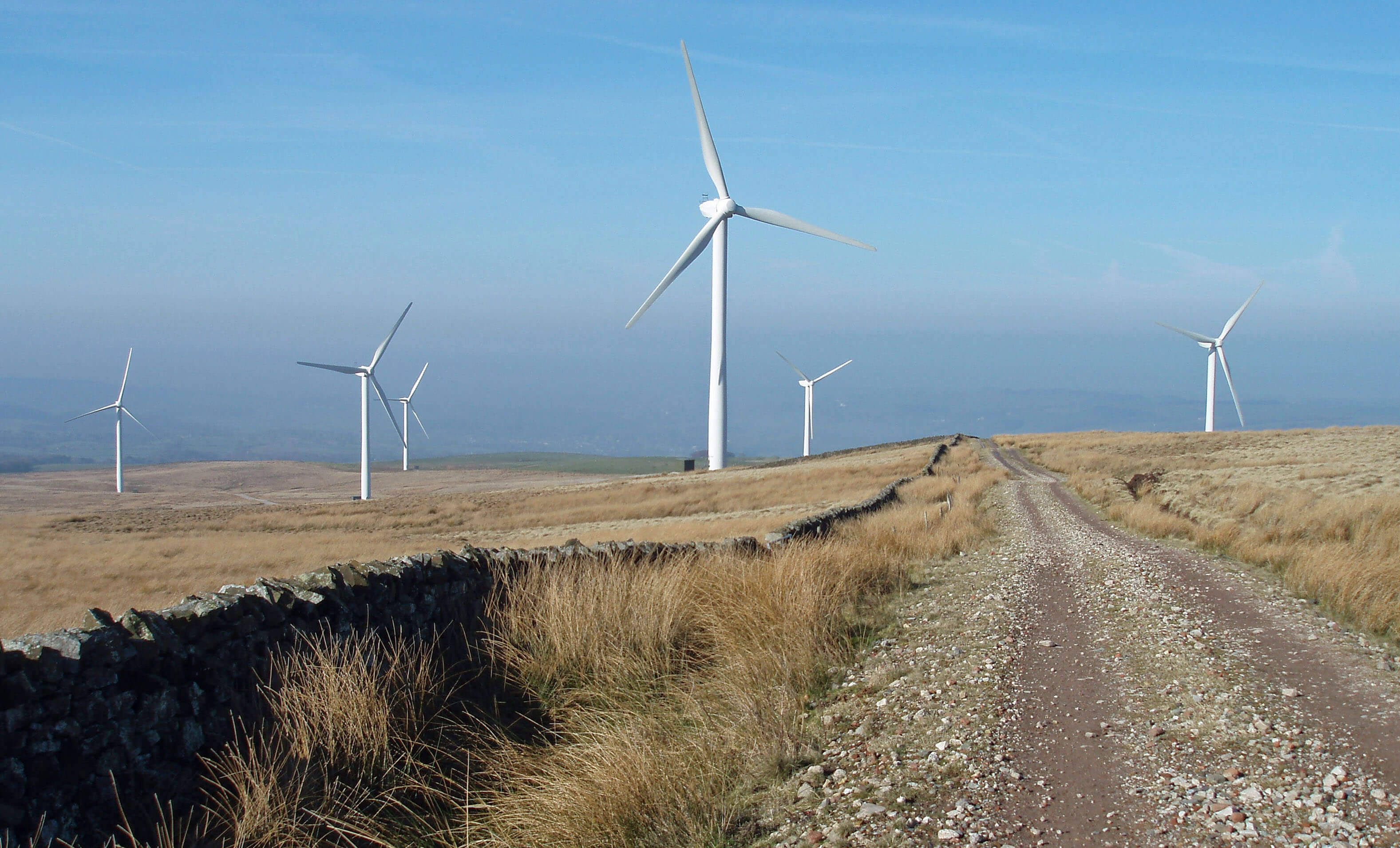 Left: The track down from the Caton Moor trig
point past the windmills. (It is supposed
to be a bridleway but I have never seen
a horse here. I have never seen a runner
either, but there is the occasional walker
to spoil my solitude.)
Left: The track down from the Caton Moor trig
point past the windmills. (It is supposed
to be a bridleway but I have never seen
a horse here. I have never seen a runner
either, but there is the occasional walker
to spoil my solitude.)
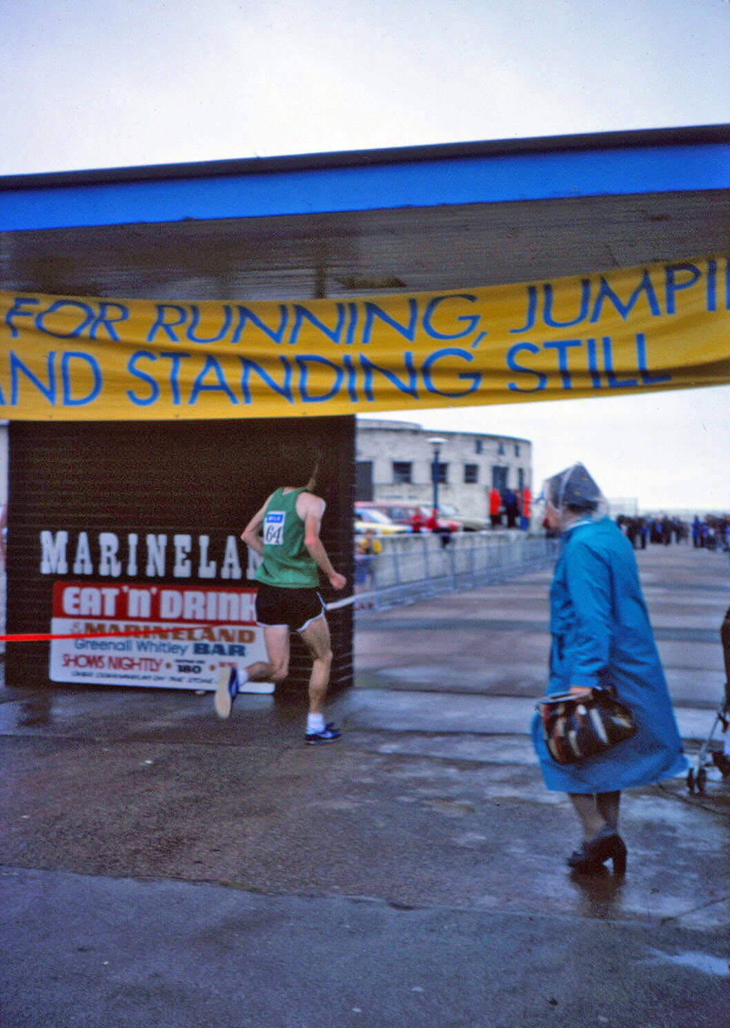
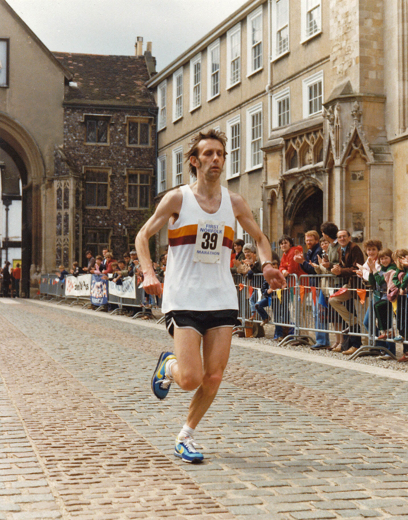
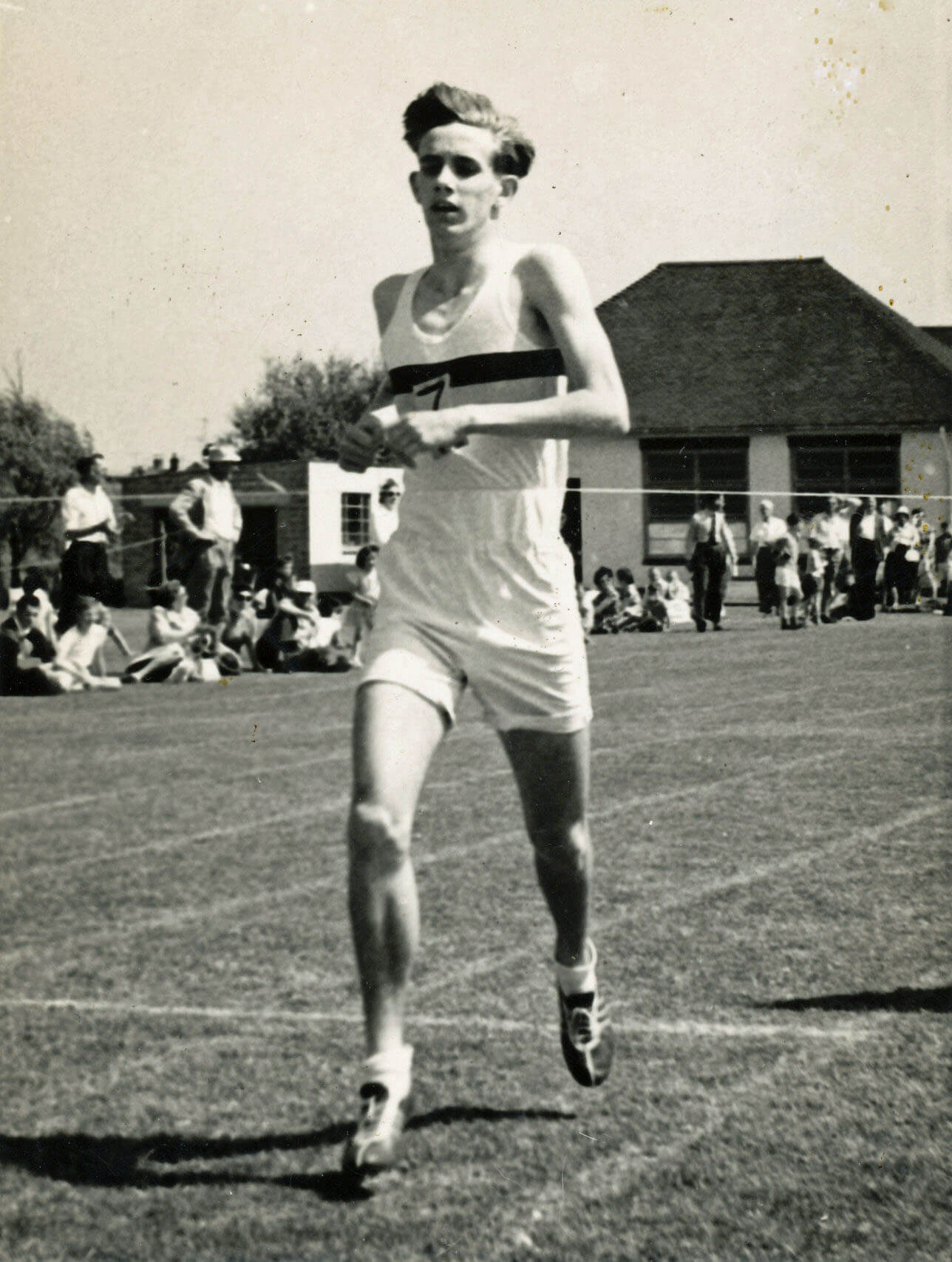 Right: Some young fellow winning some race in about 1960.
 Left: The bridleway up to the little bridge and the windmills.
 Left: The River Lune and fishermen’s
hut (a different hut to that
shown in week 4), below
Lawson’s Wood. Ingleborough
is in the distance. This hut is
400 yards upstream of the
Waterworks Bridge. I ran here
after the heavy rain of a few
weeks ago, when the river was
full to the brim and lapping over
the green fields, which was
a scary experience. It is near
here that Ruth has seen one
of the otters that have recently
returned to the Lune. I haven’t
seen one yet: they can hear my
wheezing a mile off.
Left: The River Lune and fishermen’s
hut (a different hut to that
shown in week 4), below
Lawson’s Wood. Ingleborough
is in the distance. This hut is
400 yards upstream of the
Waterworks Bridge. I ran here
after the heavy rain of a few
weeks ago, when the river was
full to the brim and lapping over
the green fields, which was
a scary experience. It is near
here that Ruth has seen one
of the otters that have recently
returned to the Lune. I haven’t
seen one yet: they can hear my
wheezing a mile off.
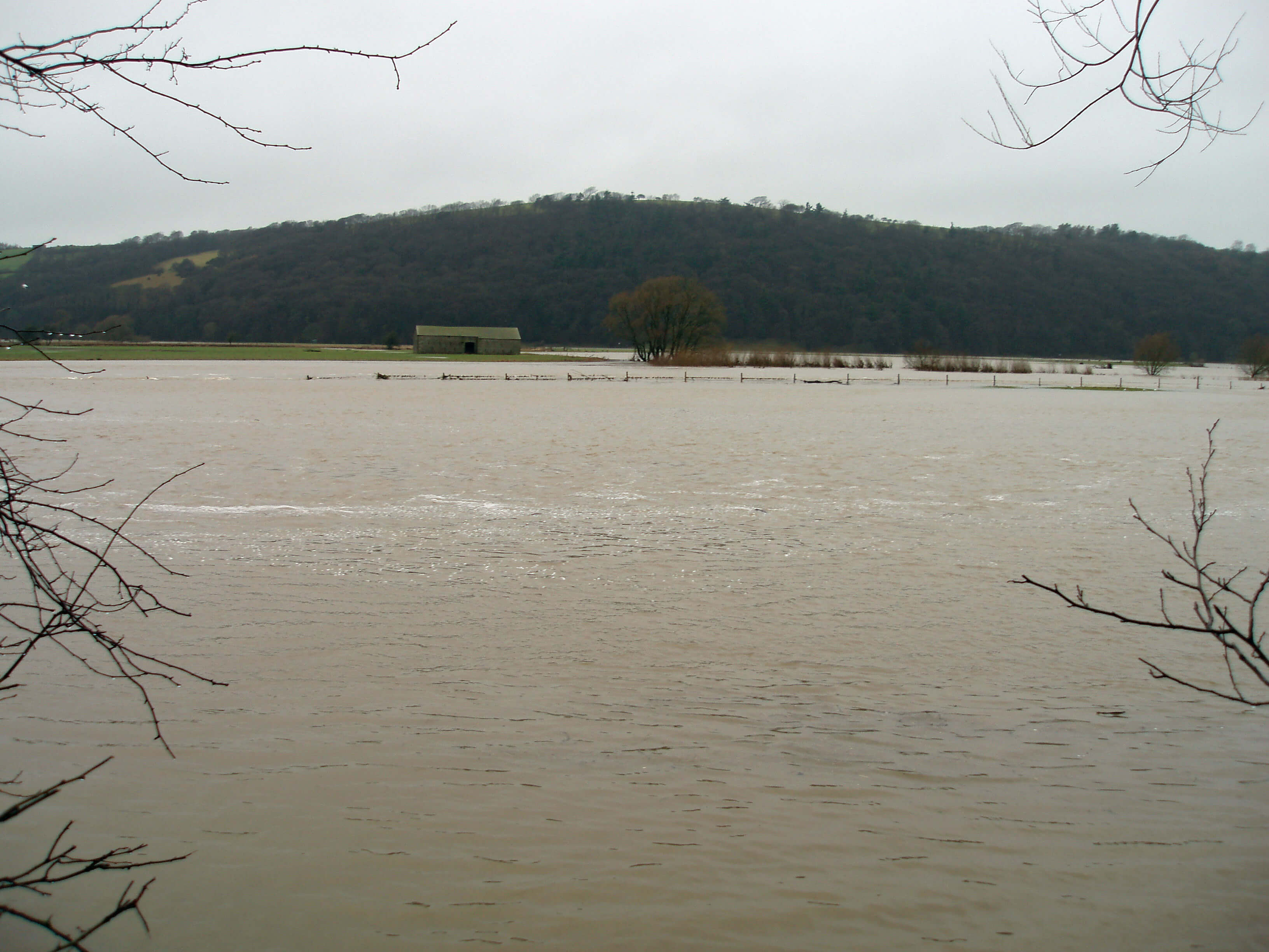
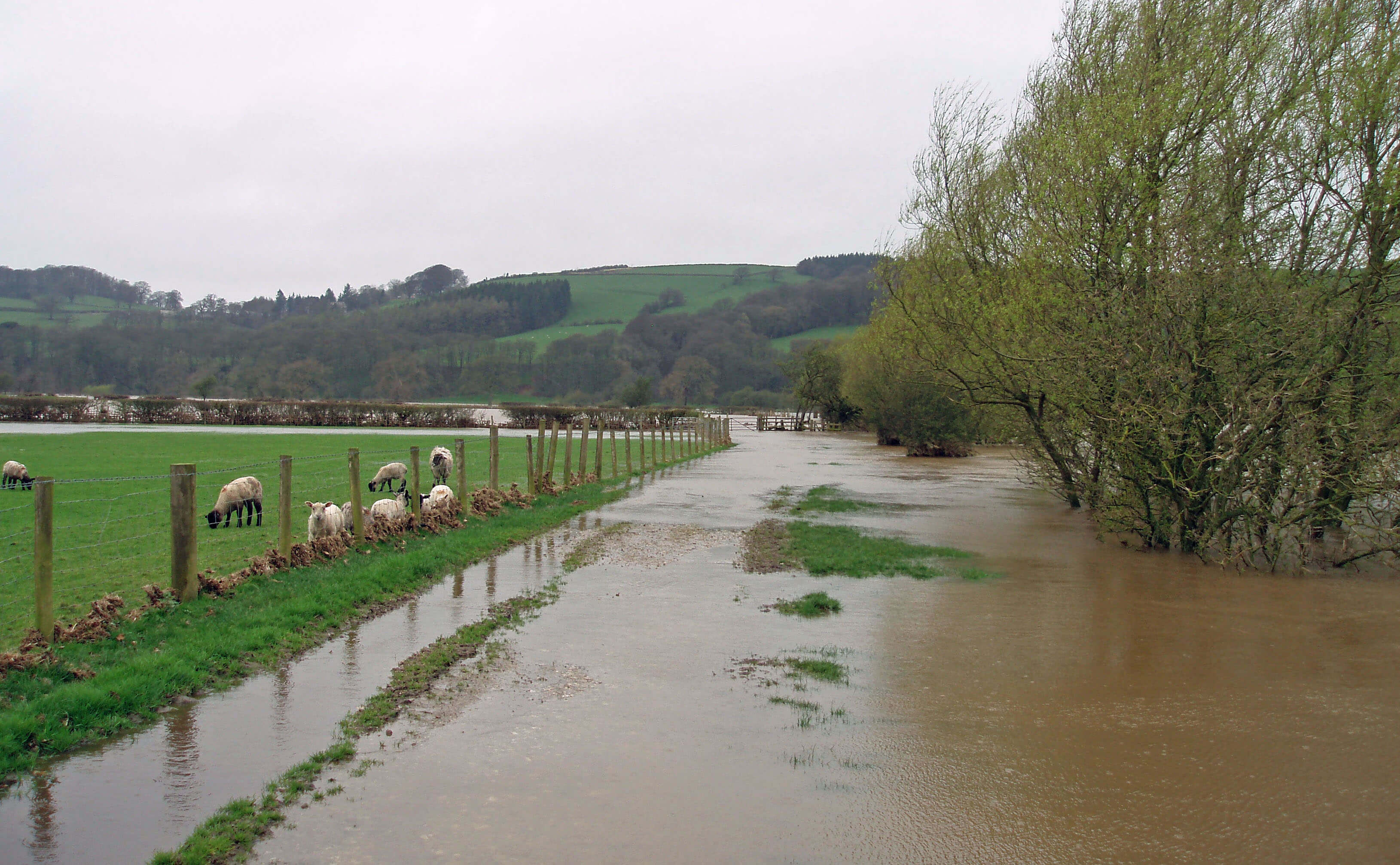
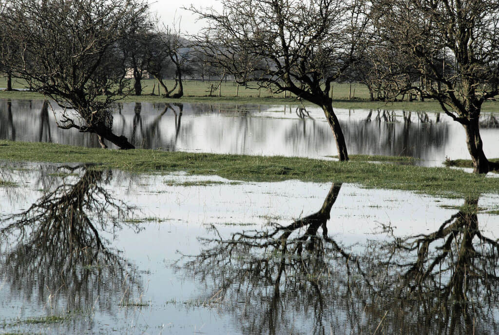 Right: The Lune floodplain, flooded, as is its wont.
 Right: The River Lune from the old railway line
at the Crook o’ Lune.
Right: The River Lune from the old railway line
at the Crook o’ Lune.
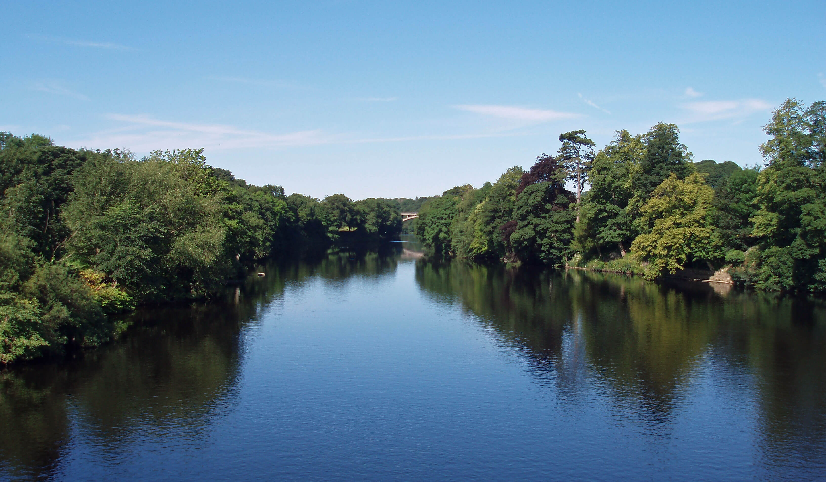
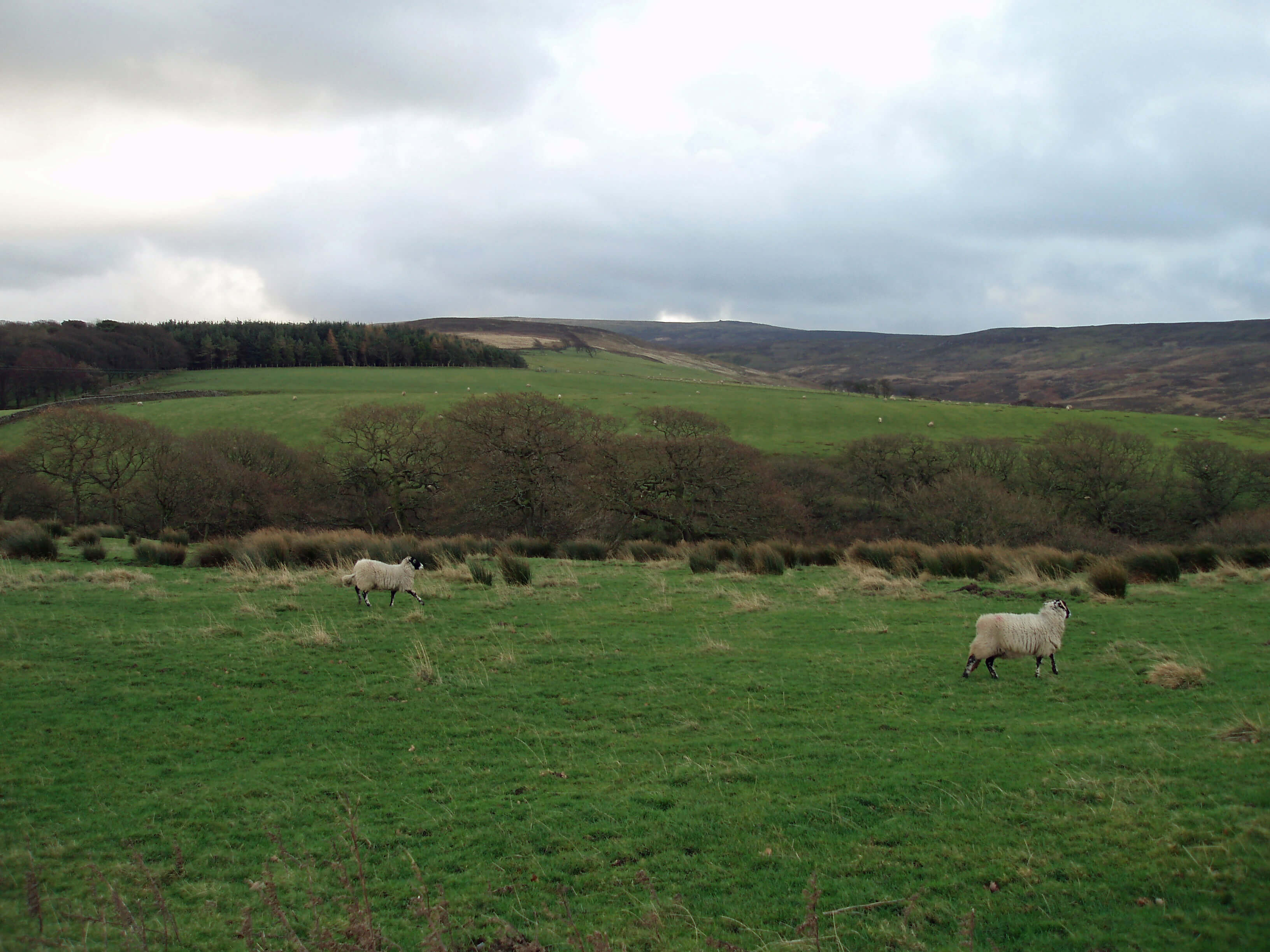
The River Lune near where the River Wenning joins (I usually run along the left bank)
[1]. Shakespeare, William, Henry VIII, Act 1, Scene 4.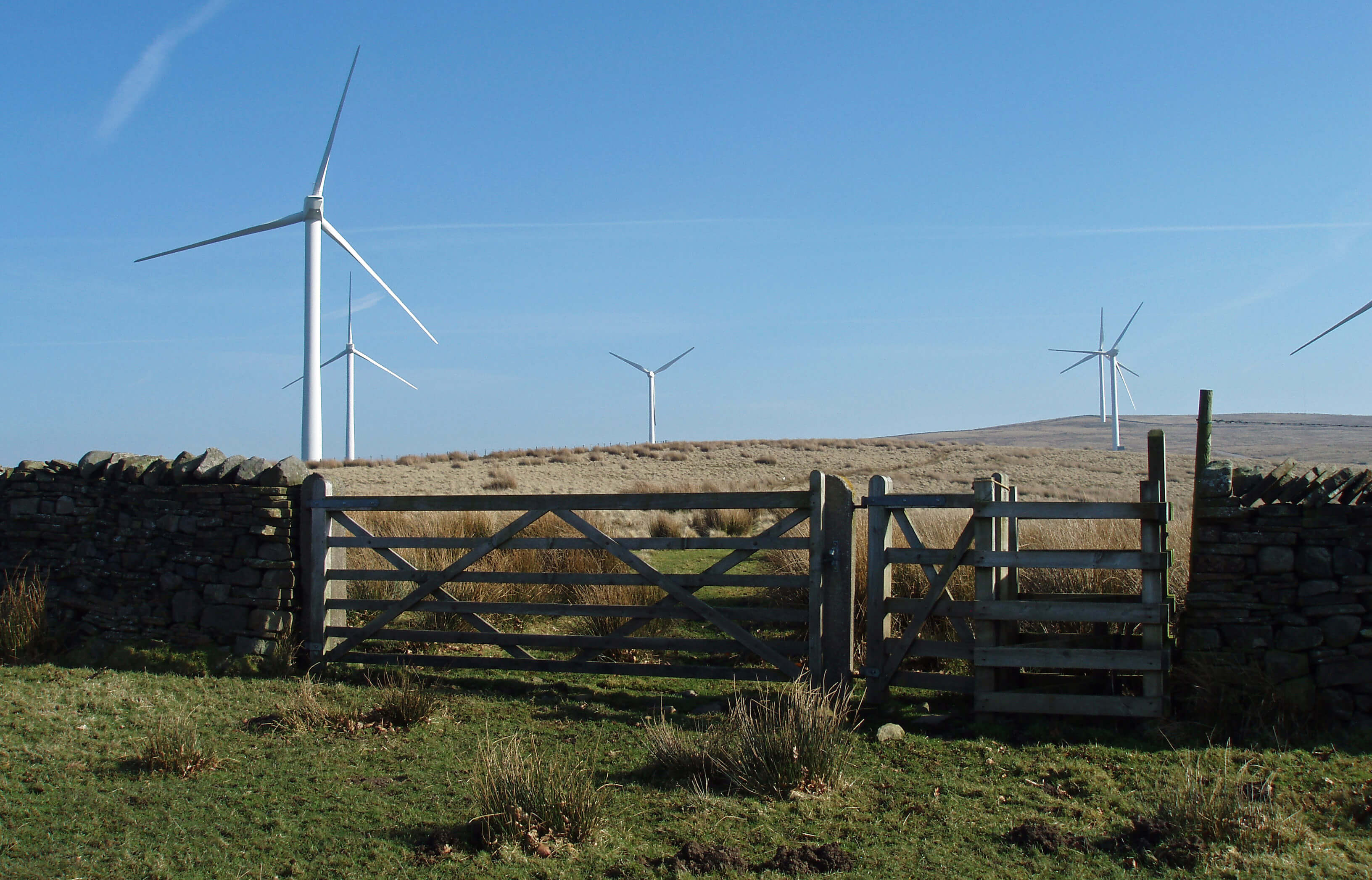 Right: My run up [1] to the windmills this week was halted at
this gate when I saw four hares running around in the field
beyond. In Britain the hare has declined more than any
other mammal except the water vole but they seem content
enough on Caton Moor. I stopped and watched them for
several minutes. Of all the animals that I see on my runs,
I feel the most affinity with the hare (if I may so presume).
The others run, but usually in alarm; hares seem to run just
because they want to.
Right: My run up [1] to the windmills this week was halted at
this gate when I saw four hares running around in the field
beyond. In Britain the hare has declined more than any
other mammal except the water vole but they seem content
enough on Caton Moor. I stopped and watched them for
several minutes. Of all the animals that I see on my runs,
I feel the most affinity with the hare (if I may so presume).
The others run, but usually in alarm; hares seem to run just
because they want to.
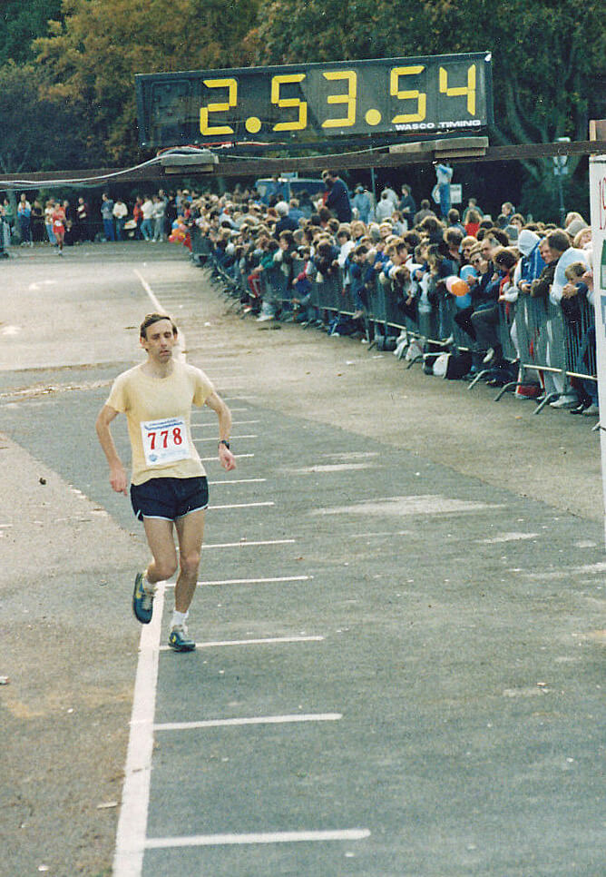
 Left: The end of the 1980 Preston-to-Morecambe Marathon. The
lady with the bag was disqualified for not running the
whole course.
Left: The end of the 1980 Preston-to-Morecambe Marathon. The
lady with the bag was disqualified for not running the
whole course.
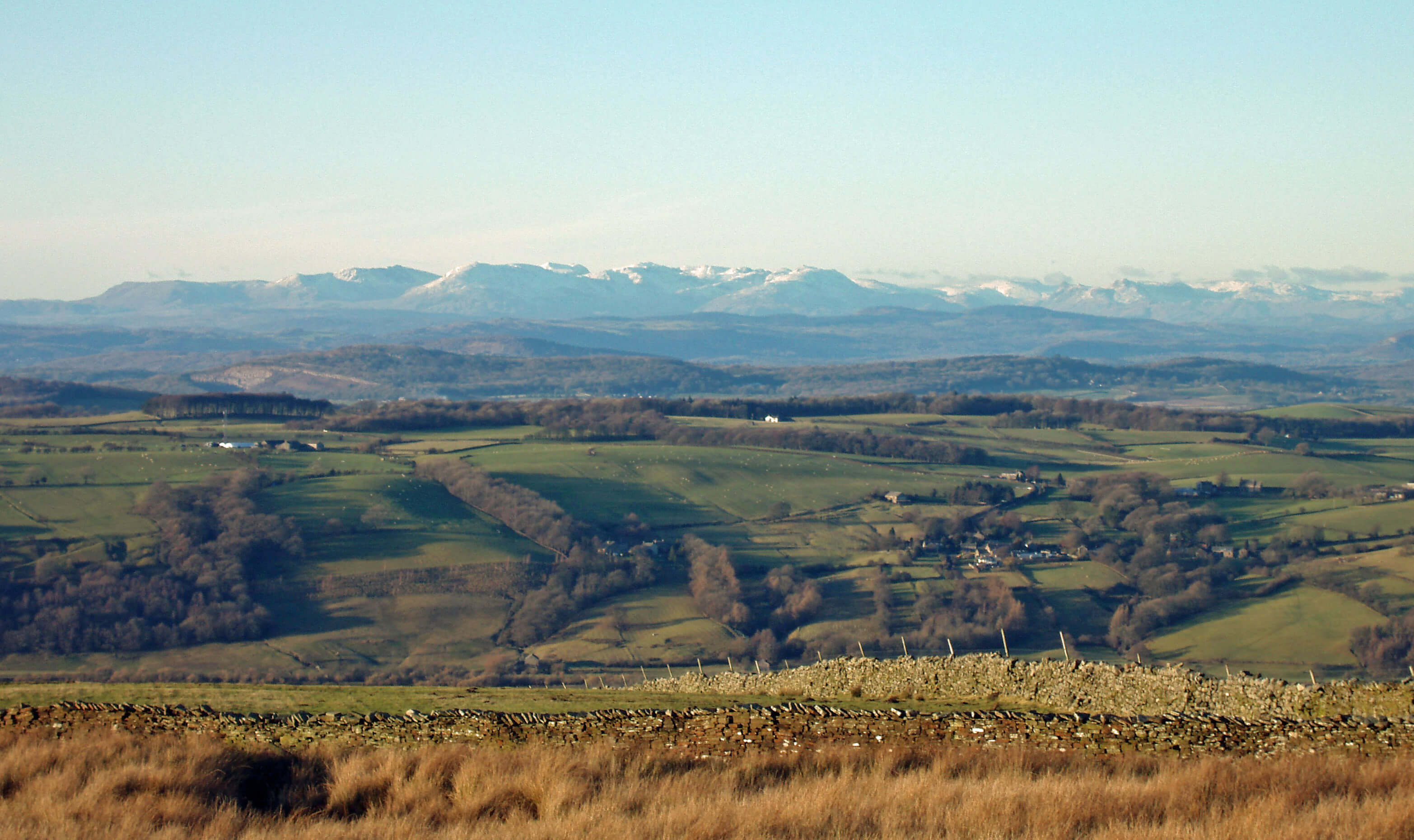
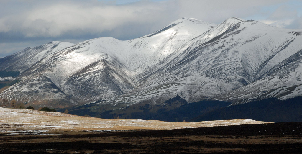 Left: Skiddaw on April 2nd last year.
The fell-race route is up to the left of the gully at the right, past the tops of Jenkin Hill and Little Man,
and on to the top of Skiddaw, and back the same way.
Left: Skiddaw on April 2nd last year.
The fell-race route is up to the left of the gully at the right, past the tops of Jenkin Hill and Little Man,
and on to the top of Skiddaw, and back the same way.
 Right: Littledale and Ward’s Stone (above the barn) from the Cragg.
   40-44 45-49 50-54 55-59 60-64 65-69 70-74 75-79
    6%    9%    13%   19%   27%   30%   38%   59%
The women’s figures are similar but distorted because
the modern breed of women marathon runner has not
yet worked its way through the age groups and because
very few women ran marathons forty years ago.
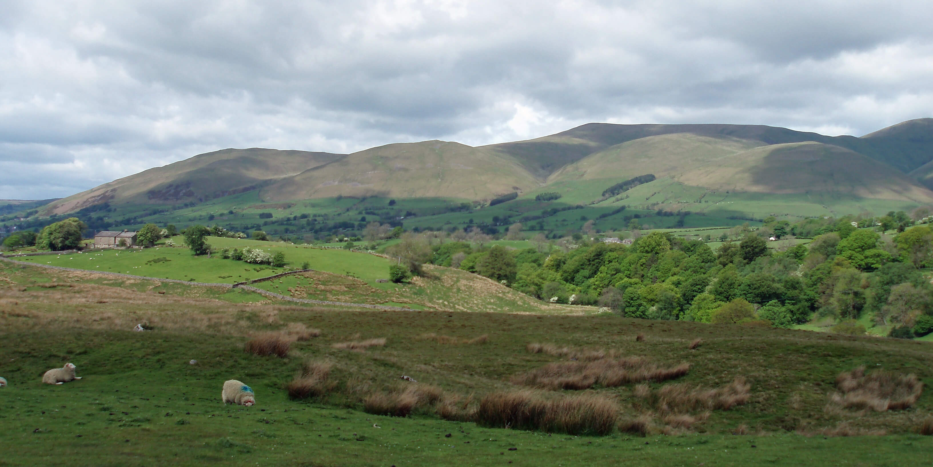
 Left: The River Lune at the Crook o’Lune. I have three routes to the Crook,
two by the river and one along the old
railway line, giving six possible loops.
I could have a different run there, 4 or
5 miles, every day of the week (with a
rest day). I think I would be content if
that was all that I could manage, for
it is a fine stretch of river. In general,
though, I prefer to mix in some runs up
the hills (for the views), not that I have
managed much of that this week. After
the positive tone of the previous two
weeks, this has been a steady week
of consolidation: no real problems but
not much progress either.
Left: The River Lune at the Crook o’Lune. I have three routes to the Crook,
two by the river and one along the old
railway line, giving six possible loops.
I could have a different run there, 4 or
5 miles, every day of the week (with a
rest day). I think I would be content if
that was all that I could manage, for
it is a fine stretch of river. In general,
though, I prefer to mix in some runs up
the hills (for the views), not that I have
managed much of that this week. After
the positive tone of the previous two
weeks, this has been a steady week
of consolidation: no real problems but
not much progress either.
 Right: On Tuesday I saw my first sand-martins of the year. Their return to the Lune valley in April is always welcome because
their whirling, twittering flight over the river is characteristic of the summer months. They come to nest in the tunnels they
build into the steep river banks. Unfortunately, the Tuesday sand-martins had mistimed their return. The Lune was in
flood. All their nests were underwater. The sand-martins, lots of them, were swooping over the turbulent river, puzzled.
The river had subsided by Wednesday but no doubt their nests were somewhat soggy. The photograph shows the path to
the Waterworks Bridge. The river is normally several metres lower in its bed to the right.
Right: On Tuesday I saw my first sand-martins of the year. Their return to the Lune valley in April is always welcome because
their whirling, twittering flight over the river is characteristic of the summer months. They come to nest in the tunnels they
build into the steep river banks. Unfortunately, the Tuesday sand-martins had mistimed their return. The Lune was in
flood. All their nests were underwater. The sand-martins, lots of them, were swooping over the turbulent river, puzzled.
The river had subsided by Wednesday but no doubt their nests were somewhat soggy. The photograph shows the path to
the Waterworks Bridge. The river is normally several metres lower in its bed to the right.
 Left: Approaching the top of the Cragg from the other side.
 Right: Roeburndale, looking north, with Whernside to the right.
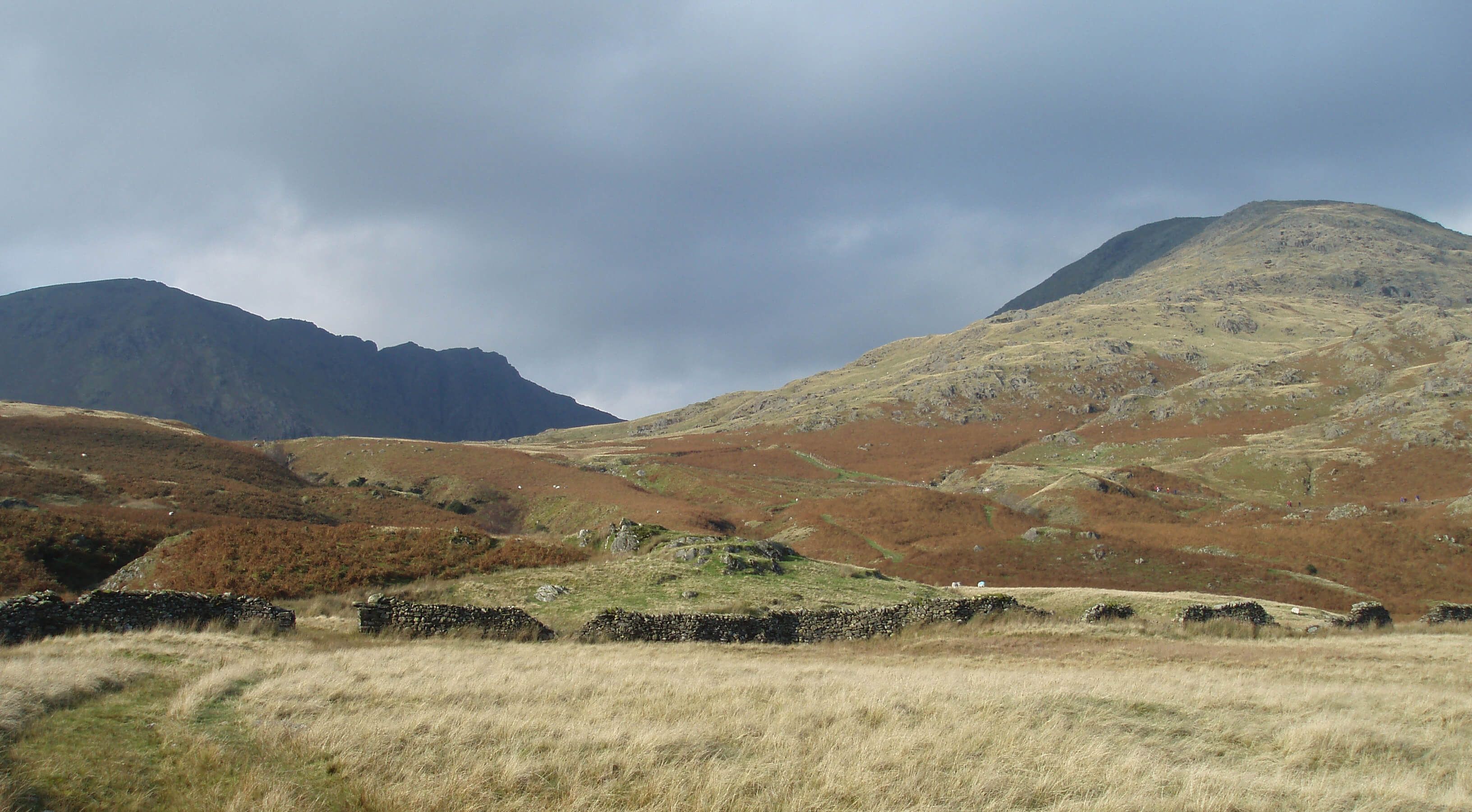
 Left: Dow Crag and Coniston Old Man. On September 9th 1988 I ran from
the bottom right corner, to the basin (wherein lies Goats Water) between the two.
Then up the Old Man, north to Brim Fell, and back behind Dow Crag, returning
on the Walna Scar track. On May 15th 2005 I ran roughly the other way round,
up Dow Crag to Brim Fell and back over the Old Man.
Left: Dow Crag and Coniston Old Man. On September 9th 1988 I ran from
the bottom right corner, to the basin (wherein lies Goats Water) between the two.
Then up the Old Man, north to Brim Fell, and back behind Dow Crag, returning
on the Walna Scar track. On May 15th 2005 I ran roughly the other way round,
up Dow Crag to Brim Fell and back over the Old Man.
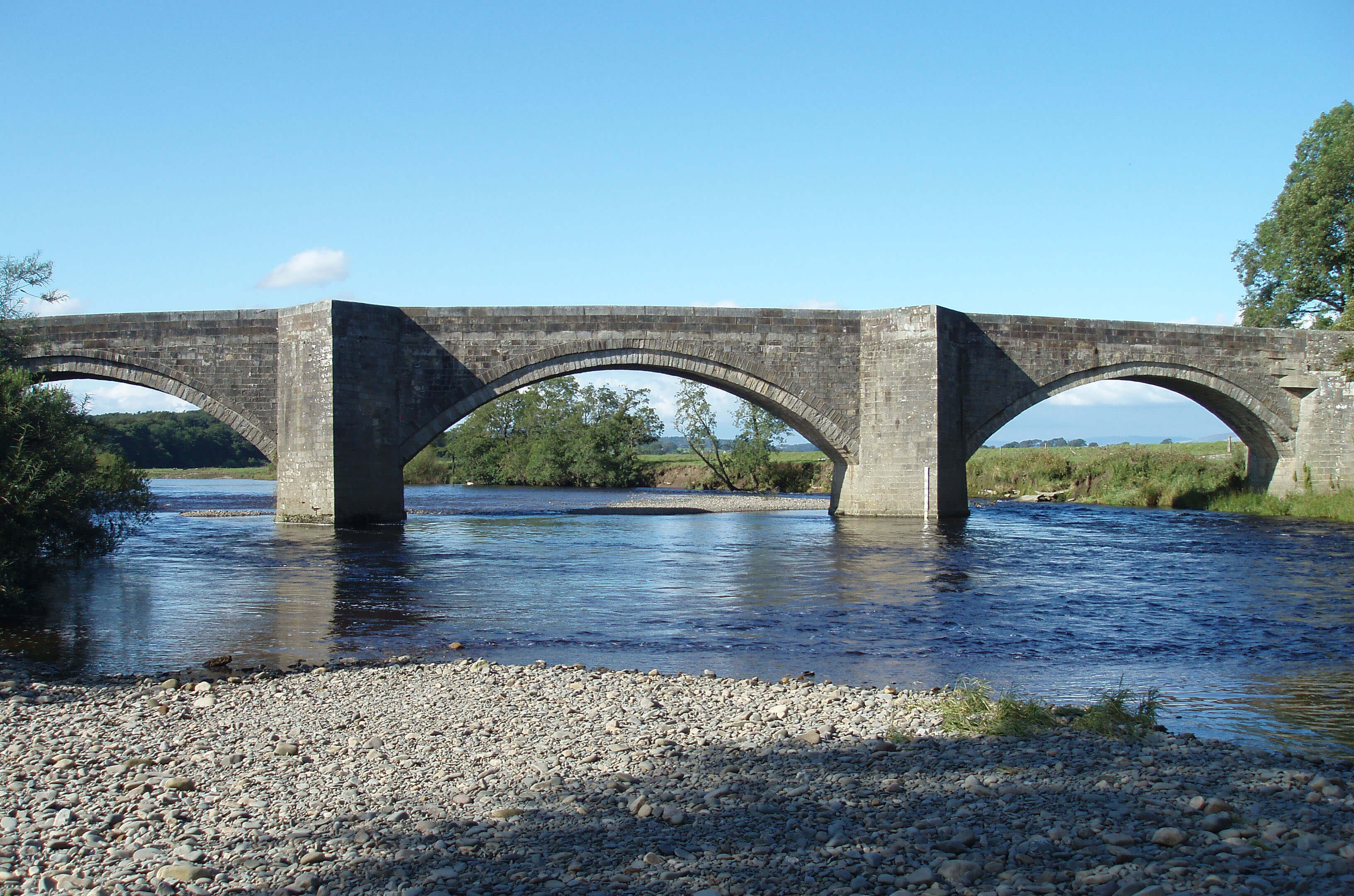
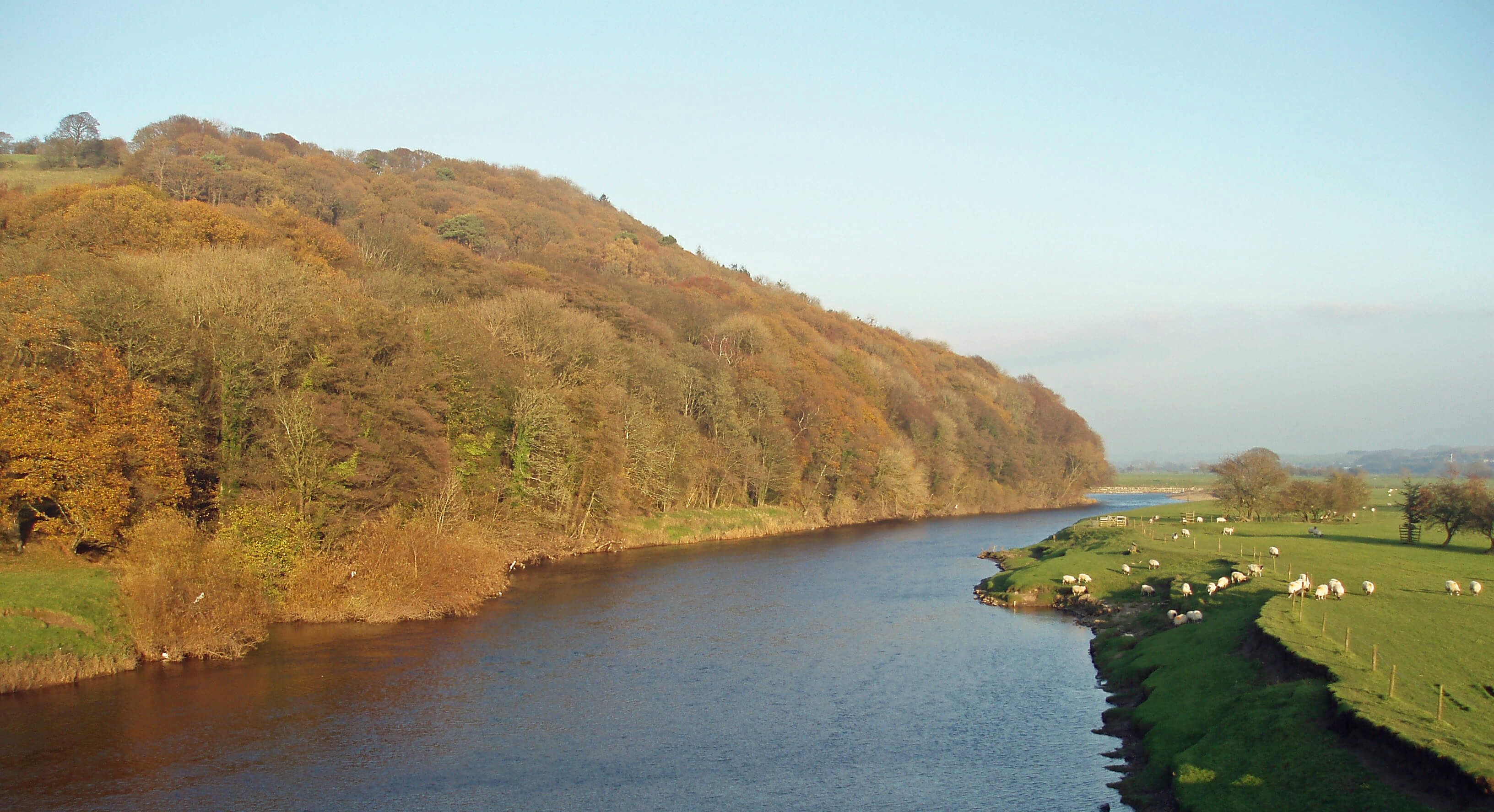
 Left: Waterworks Bridge below Aughton Woods.
 Right: The end of the 1982 Norfolk Marathon, in the
courtyard of Norwich Cathedral.
Right: The end of the 1982 Norfolk Marathon, in the
courtyard of Norwich Cathedral.
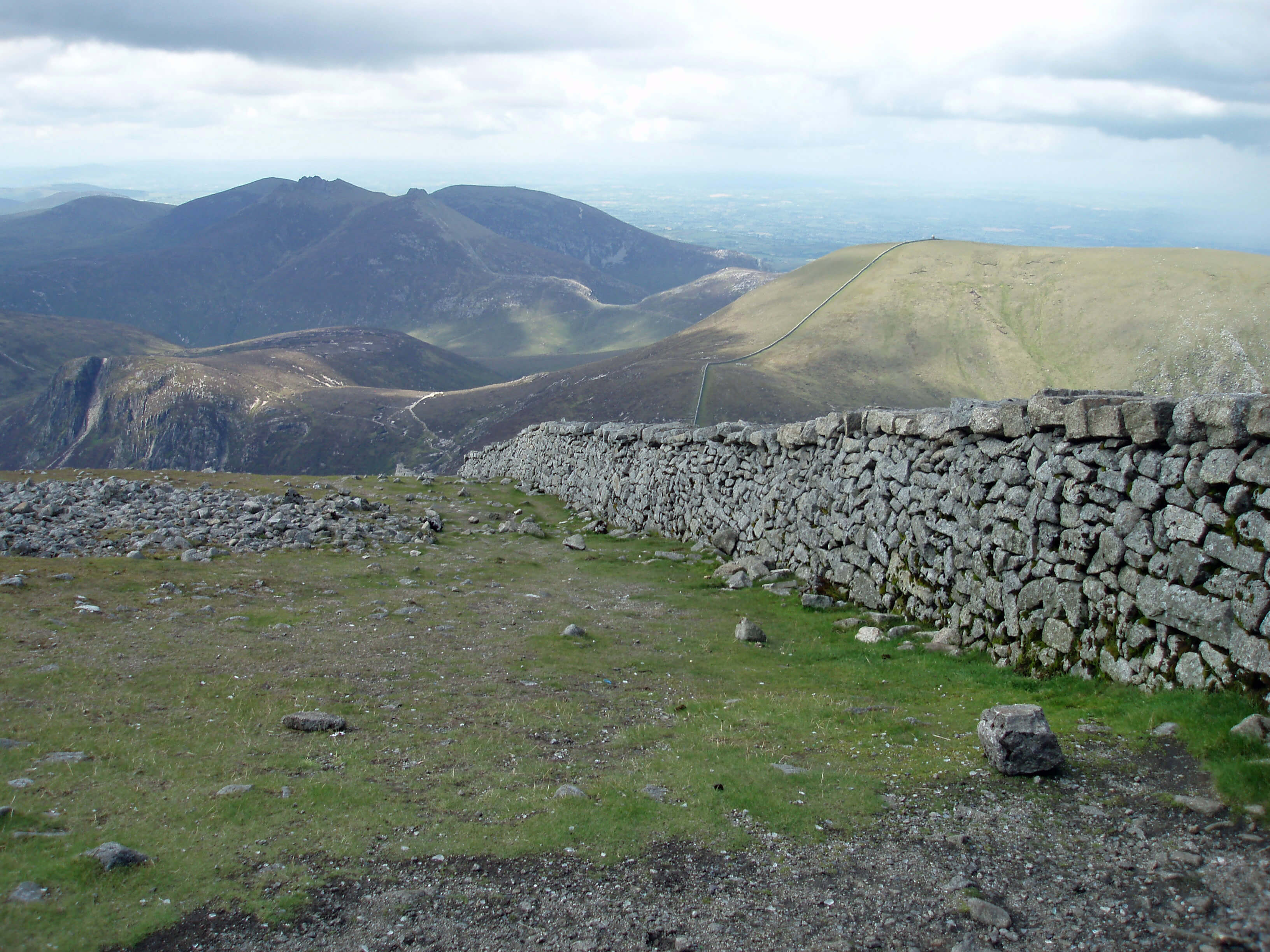
 Right: The trig point on Wolfhole Crag (at 527
metres) in the Forest of Bowland, with
millstone grit boulders and heather.
(This photograph was taken on an
earlier occasion: I wouldn’t want you
to think that I ignored the ‘moor closed’
signs.) This moor is home to England’s
largest inland colony of lesser black-backed gulls. I was looking forward
to running amidst the cacophony of
25,000 nesting gulls. I would not have
felt guilty at disturbing them, as I’m
sure the land-owners would prefer
grouse to nest instead and, in addition,
all these gulls pollute Lancaster’s
water supply.
Right: The trig point on Wolfhole Crag (at 527
metres) in the Forest of Bowland, with
millstone grit boulders and heather.
(This photograph was taken on an
earlier occasion: I wouldn’t want you
to think that I ignored the ‘moor closed’
signs.) This moor is home to England’s
largest inland colony of lesser black-backed gulls. I was looking forward
to running amidst the cacophony of
25,000 nesting gulls. I would not have
felt guilty at disturbing them, as I’m
sure the land-owners would prefer
grouse to nest instead and, in addition,
all these gulls pollute Lancaster’s
water supply.
 As it happens, I have not managed a
90-minute run this week, unlike a couple of
previous weeks. It is good to know that I am
capable of it but ... I hesitate to regale you
with a litany of my woes but I cannot give
the full and fair picture of my running that
you deserve without mentioning that I have
been somewhat discommoded this week by
bruises gained by falling in the beck. After
a dry spell, as we’ve had, I work on the bank
of the beck at the bottom of our garden
to protect it against erosion during a very wet spell,
as we will surely have. Anyhow, somehow, I fell in.
Afterwards, if I tried to run I would wince at every step.
I kept telling myself that “pain is inevitable; suffering is
optional” but I kept answering back “pain is optional;
running is not compulsory - walk instead”.
As it happens, I have not managed a
90-minute run this week, unlike a couple of
previous weeks. It is good to know that I am
capable of it but ... I hesitate to regale you
with a litany of my woes but I cannot give
the full and fair picture of my running that
you deserve without mentioning that I have
been somewhat discommoded this week by
bruises gained by falling in the beck. After
a dry spell, as we’ve had, I work on the bank
of the beck at the bottom of our garden
to protect it against erosion during a very wet spell,
as we will surely have. Anyhow, somehow, I fell in.
Afterwards, if I tried to run I would wince at every step.
I kept telling myself that “pain is inevitable; suffering is
optional” but I kept answering back “pain is optional;
running is not compulsory - walk instead”.
 Left: Winder, Arant Haw and Calders, the ridge along which I ran.
 Right: Bowderdale in the Howgills, showing the eastern ridge that I ran
along. Randygill Top is the rounded peak (all peaks are rounded
in the Howgills!) to the right, with part of Yarlside to its right. The
slope of Yarlside is one of the ones that I could not run up.
Right: Bowderdale in the Howgills, showing the eastern ridge that I ran
along. Randygill Top is the rounded peak (all peaks are rounded
in the Howgills!) to the right, with part of Yarlside to its right. The
slope of Yarlside is one of the ones that I could not run up.
 Left: Littledale, from the footpath between
Cragg Farm and Belhill Farm, is the kind
of place where I prefer to run. The grassy
ridge on the left, up to High Stephen’s
Head, is a fine run; the rocky ridge on
the right, up to Ward’s Stone, less so. I
can be certain that there will be no other
runners and no spectators. (I dare but
whisper that I eventually decided to run,
not rest, this week. The best that I can
say is that I haven’t made matters worse
but it feels as though my body is still re-assembling itself into working order.)
Left: Littledale, from the footpath between
Cragg Farm and Belhill Farm, is the kind
of place where I prefer to run. The grassy
ridge on the left, up to High Stephen’s
Head, is a fine run; the rocky ridge on
the right, up to Ward’s Stone, less so. I
can be certain that there will be no other
runners and no spectators. (I dare but
whisper that I eventually decided to run,
not rest, this week. The best that I can
say is that I haven’t made matters worse
but it feels as though my body is still re-assembling itself into working order.)
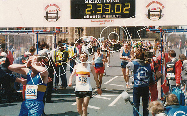 Right: Proof that I completed the 1984 London Marathon. I expect
the technology has improved by now but in those days a
photographer snapped runners at the finish line and sent
them a tiny photograph (which is what the above was - sorry
for the quality), defaced in some way, in this case, with the
‘proof’ printed over it. You could then pay a large fee for a
large photo as a memento of the occasion. I didn’t.
Right: Proof that I completed the 1984 London Marathon. I expect
the technology has improved by now but in those days a
photographer snapped runners at the finish line and sent
them a tiny photograph (which is what the above was - sorry
for the quality), defaced in some way, in this case, with the
‘proof’ printed over it. You could then pay a large fee for a
large photo as a memento of the occasion. I didn’t.
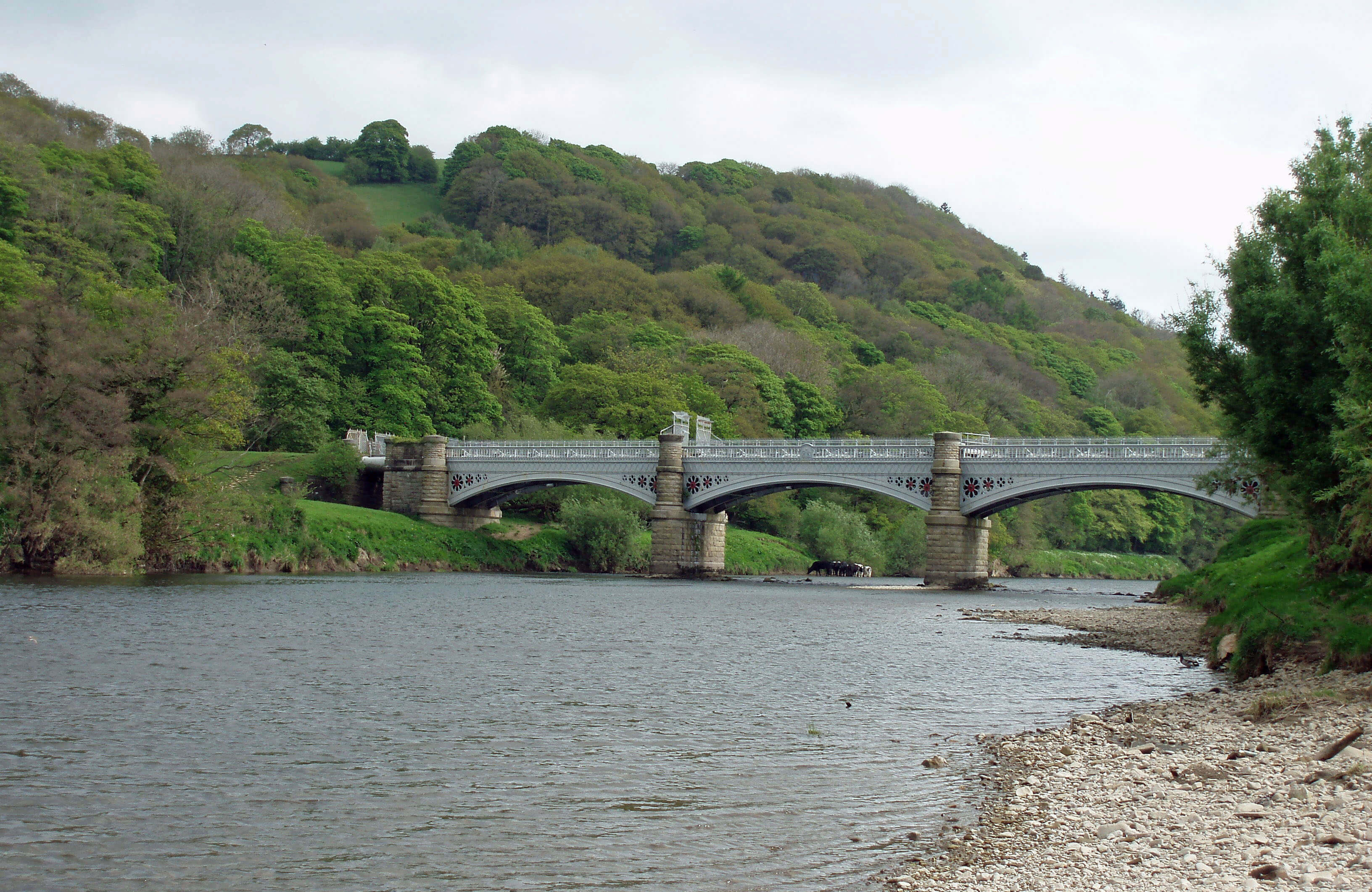
 Right: Waterworks Bridge, across which I have run many times,
after it was opened to the public in the 1990s. Clougha
Pike is in the distance.
Right: Waterworks Bridge, across which I have run many times,
after it was opened to the public in the 1990s. Clougha
Pike is in the distance.
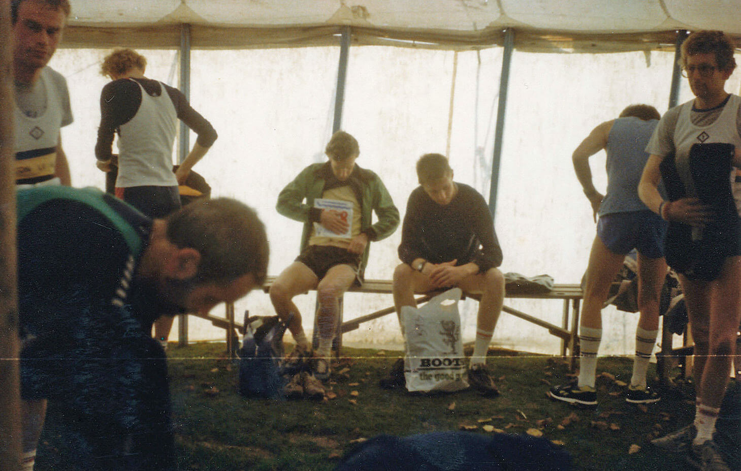 Left: Pinning my number on before the Windermere Marathon.
 Right: The end of the Windermere Marathon.
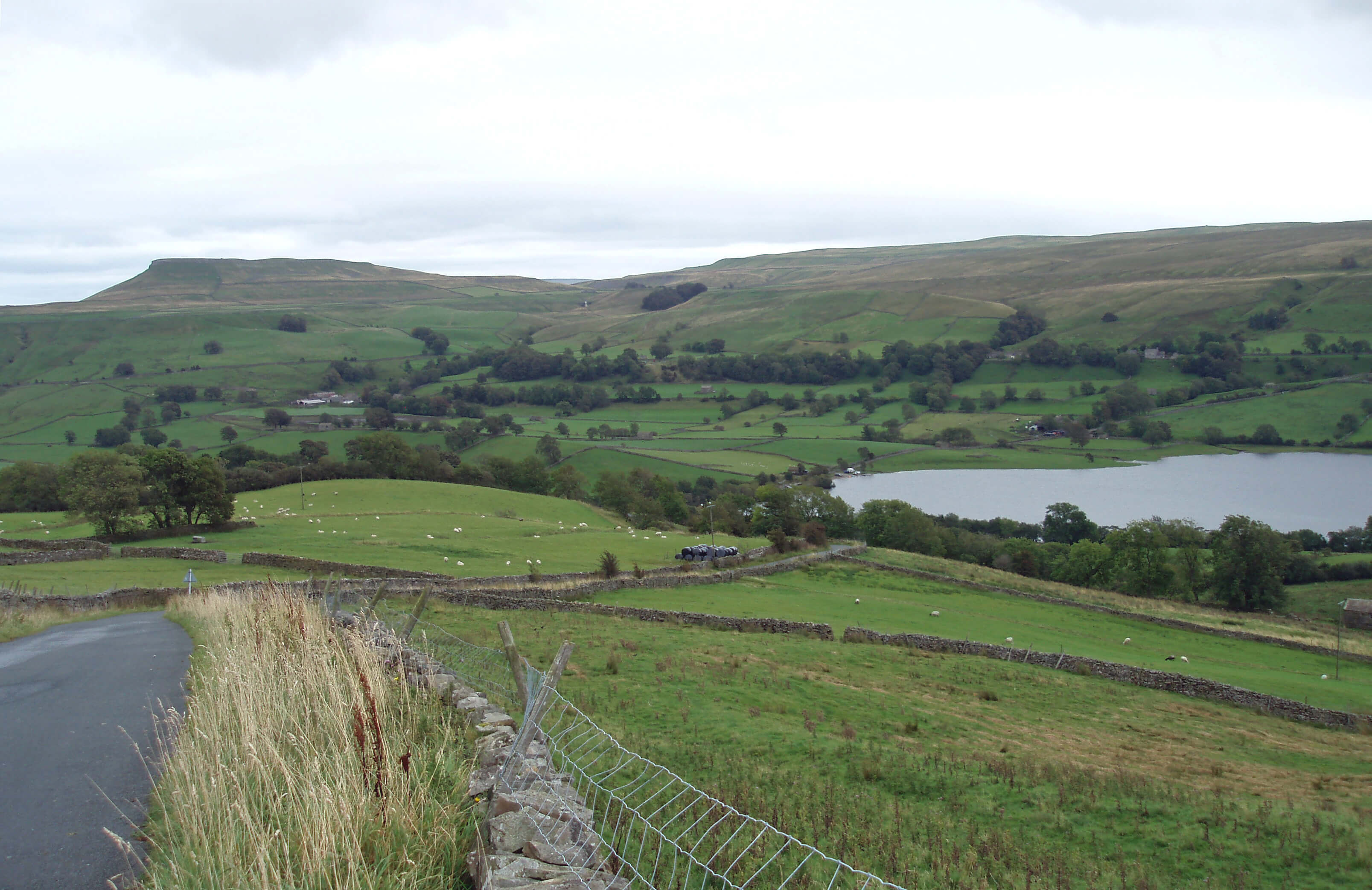
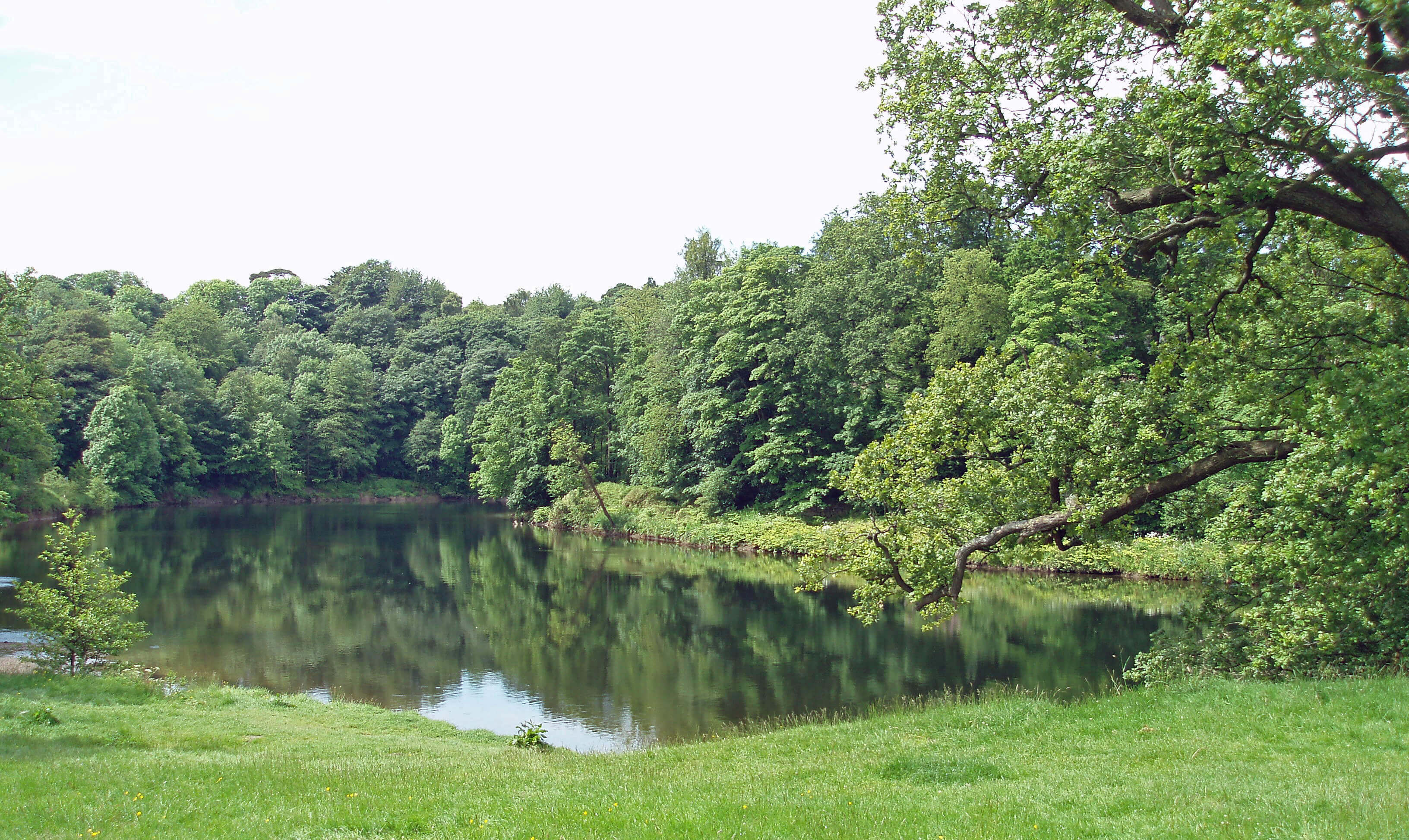 Left: The River Lune at the Crook o’Lune.
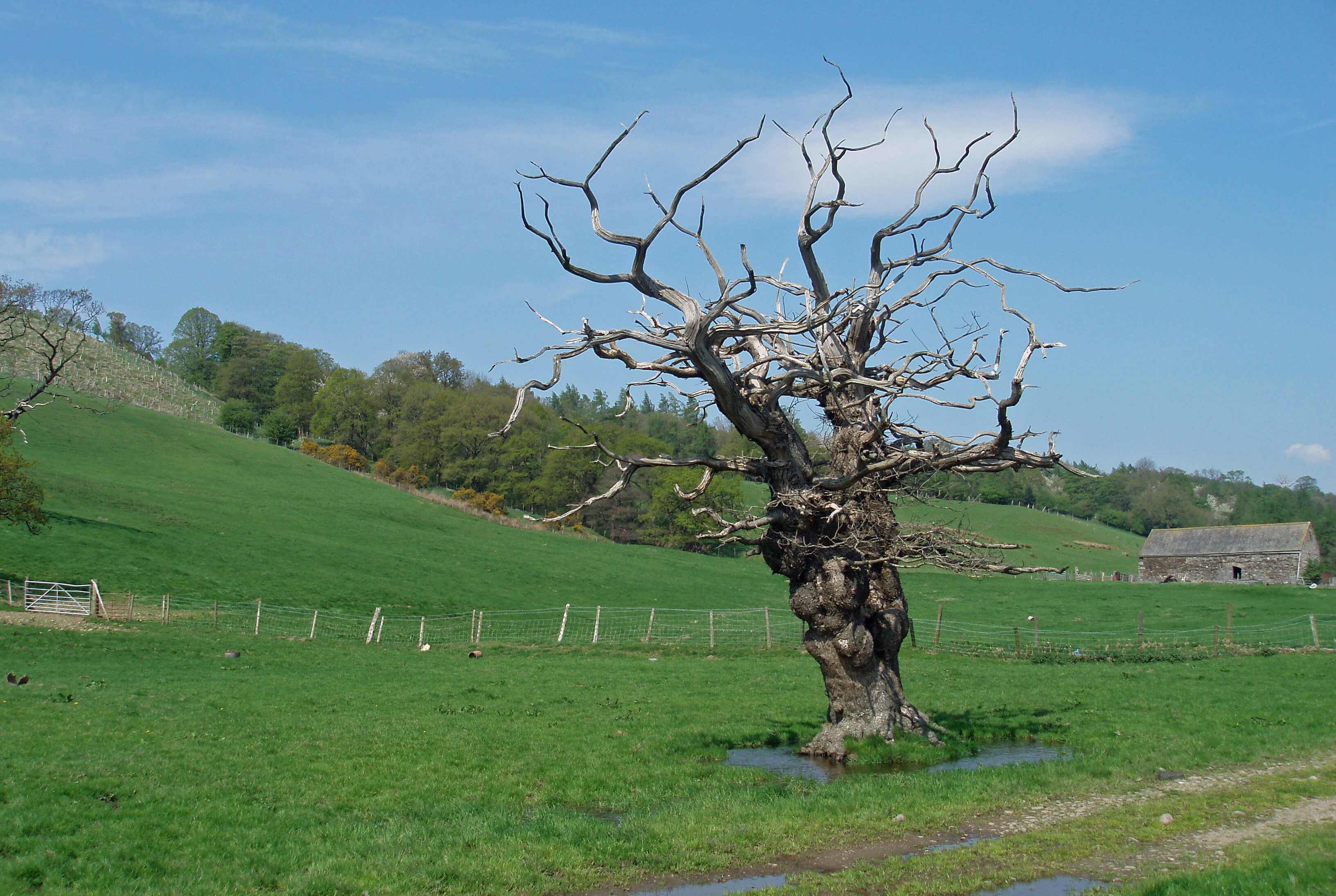 Left: An ex-tree near Aughton, symbolising my physical and
mental state at the beginning of the week.
Left: An ex-tree near Aughton, symbolising my physical and
mental state at the beginning of the week.
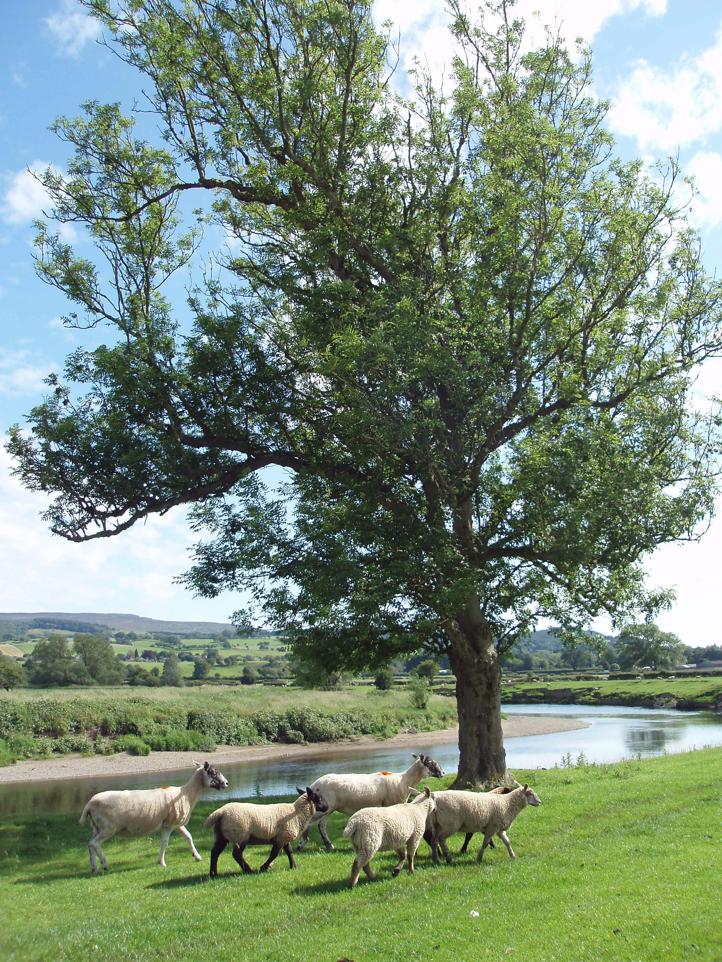 Left: A tree by the River Lune below Aughton Woods.
 Left: The River Lune from Halton Bridge,
looking west to the M6 bridge in the
distance. I have not run across Halton
Bridge so often recently because a
bridge on the way to it has been closed
for ‘safety reasons’. This necessitates
a detour on the road. It is only a short
one but it changes the character of the
run. If it takes as long to repair the
bridge as it did the adjacent similar
one a few years ago then it is liable to
be out of action for many months. This
run also takes me past the site of the
proposed eco-houses but I can see no
sign of any work on them yet.
Left: The River Lune from Halton Bridge,
looking west to the M6 bridge in the
distance. I have not run across Halton
Bridge so often recently because a
bridge on the way to it has been closed
for ‘safety reasons’. This necessitates
a detour on the road. It is only a short
one but it changes the character of the
run. If it takes as long to repair the
bridge as it did the adjacent similar
one a few years ago then it is liable to
be out of action for many months. This
run also takes me past the site of the
proposed eco-houses but I can see no
sign of any work on them yet.
 Right: From Slieve Donard to the Brandy Pad and Hare’s Gap.
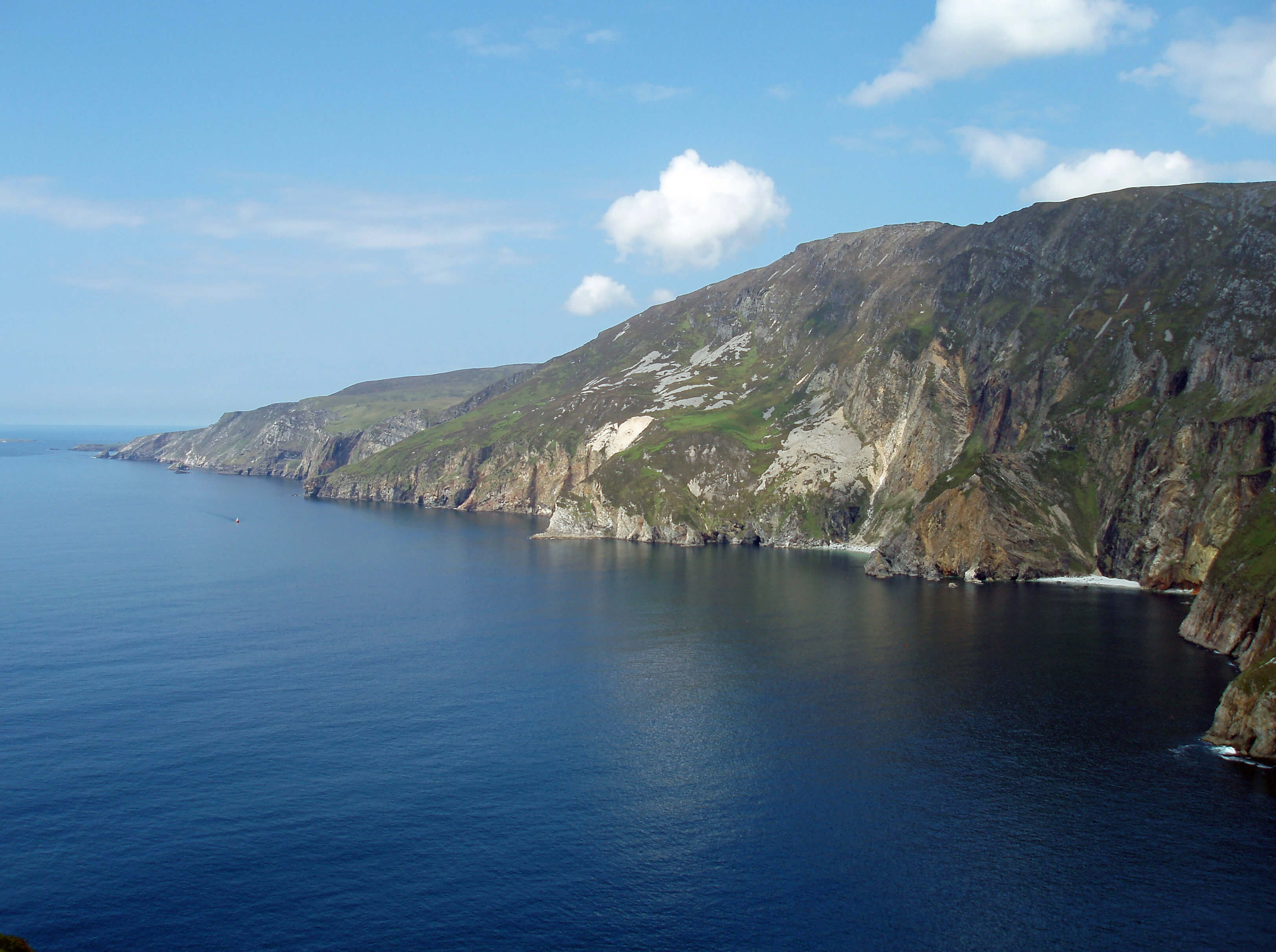 Left: Slieve League from the Cliffs of Bunglass.
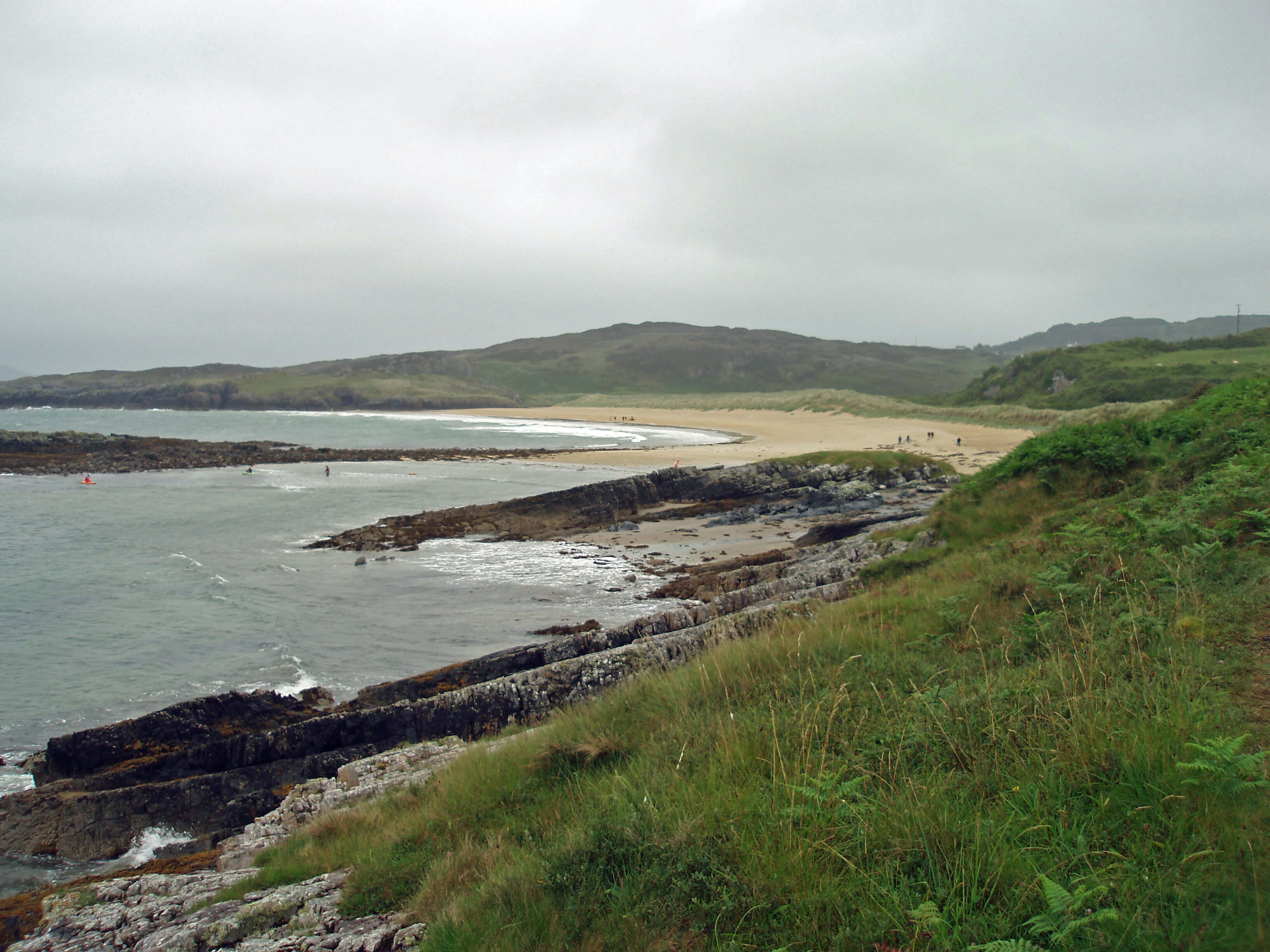
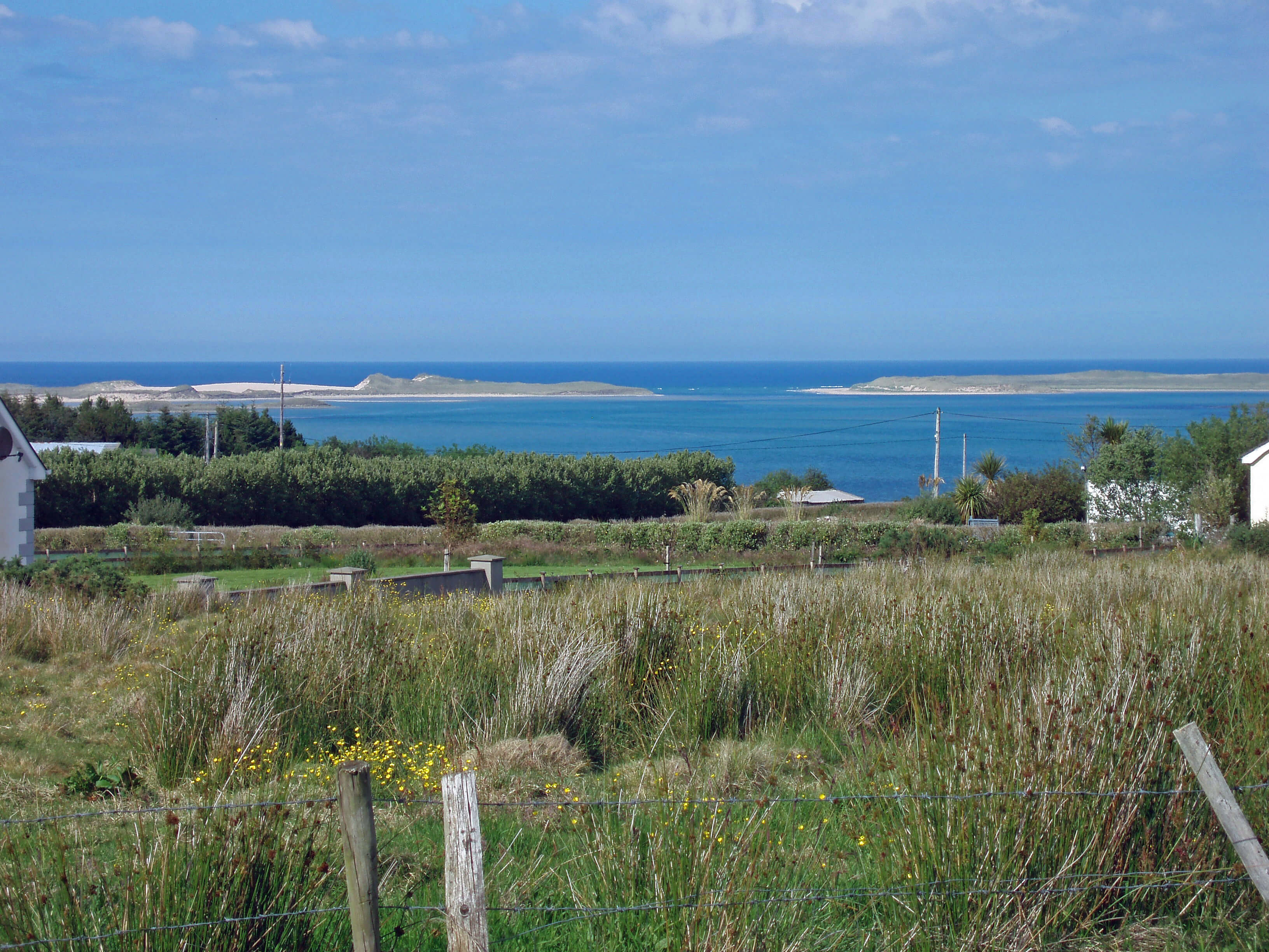 Right: Ballyness Bay from the Donegal cottage.
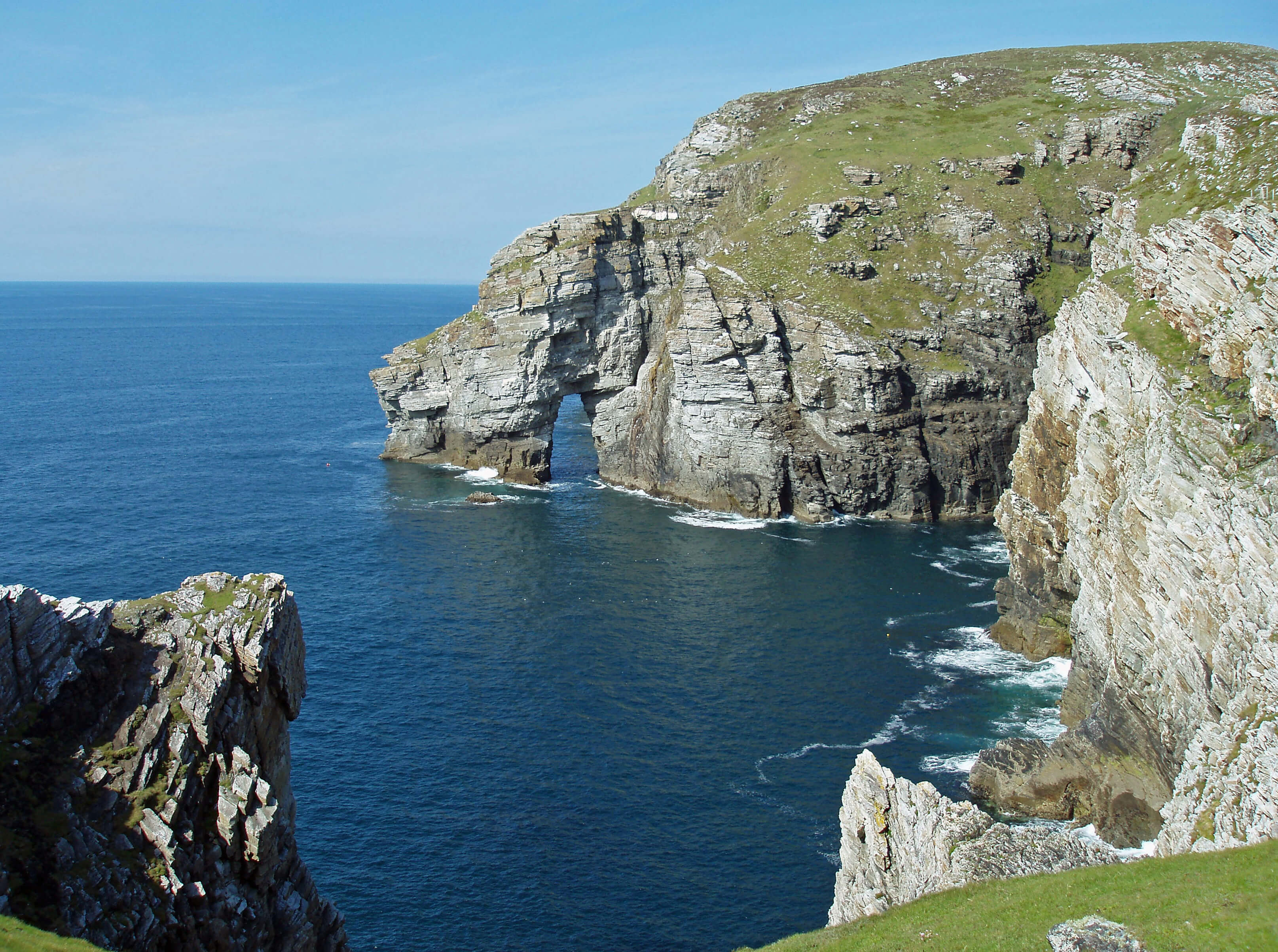
 Left: Marble Arch, on the way to Horn Head.
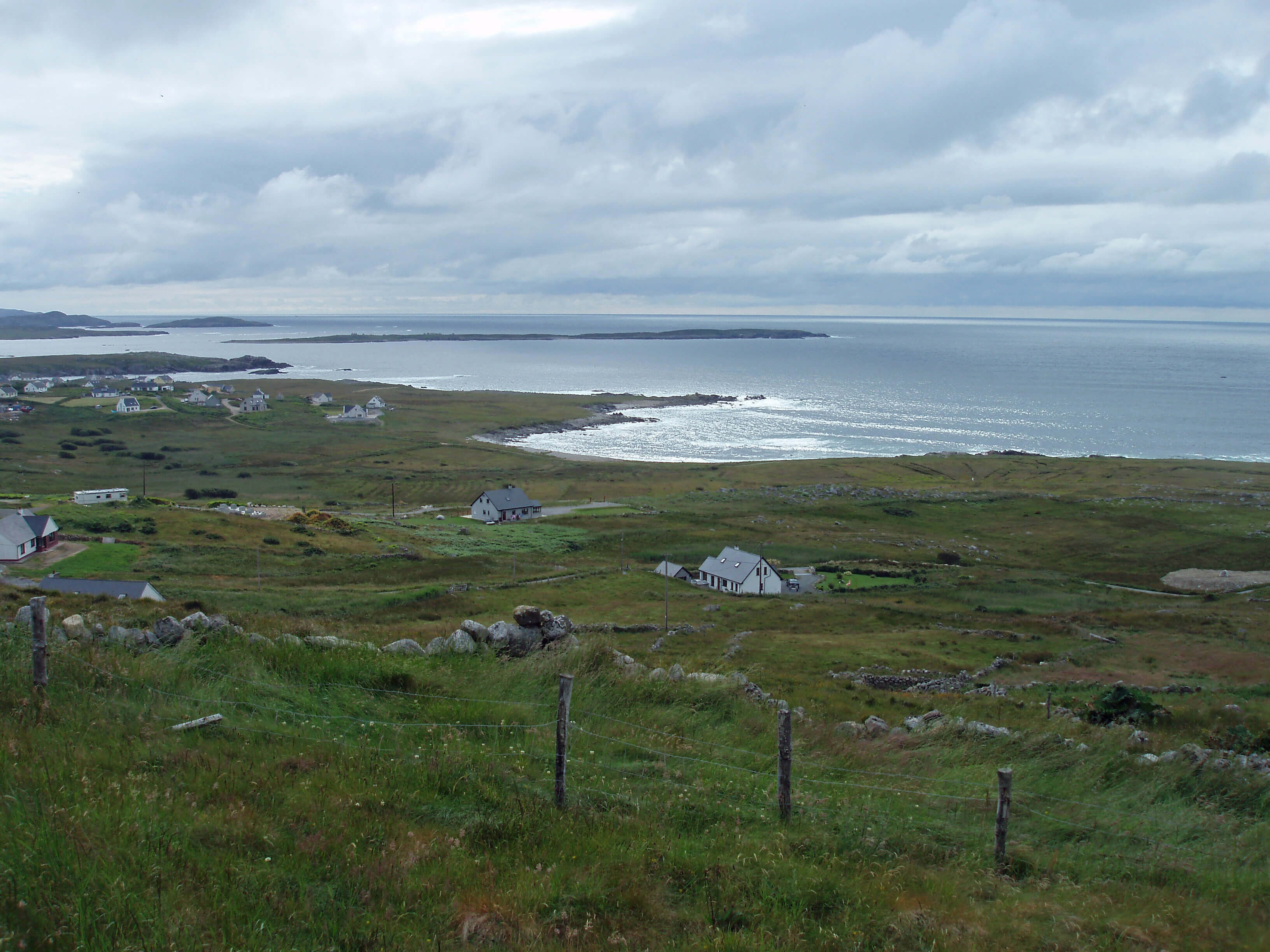
 Left: The end of the Dooey Peninsula, Horn Head dimly ahead.
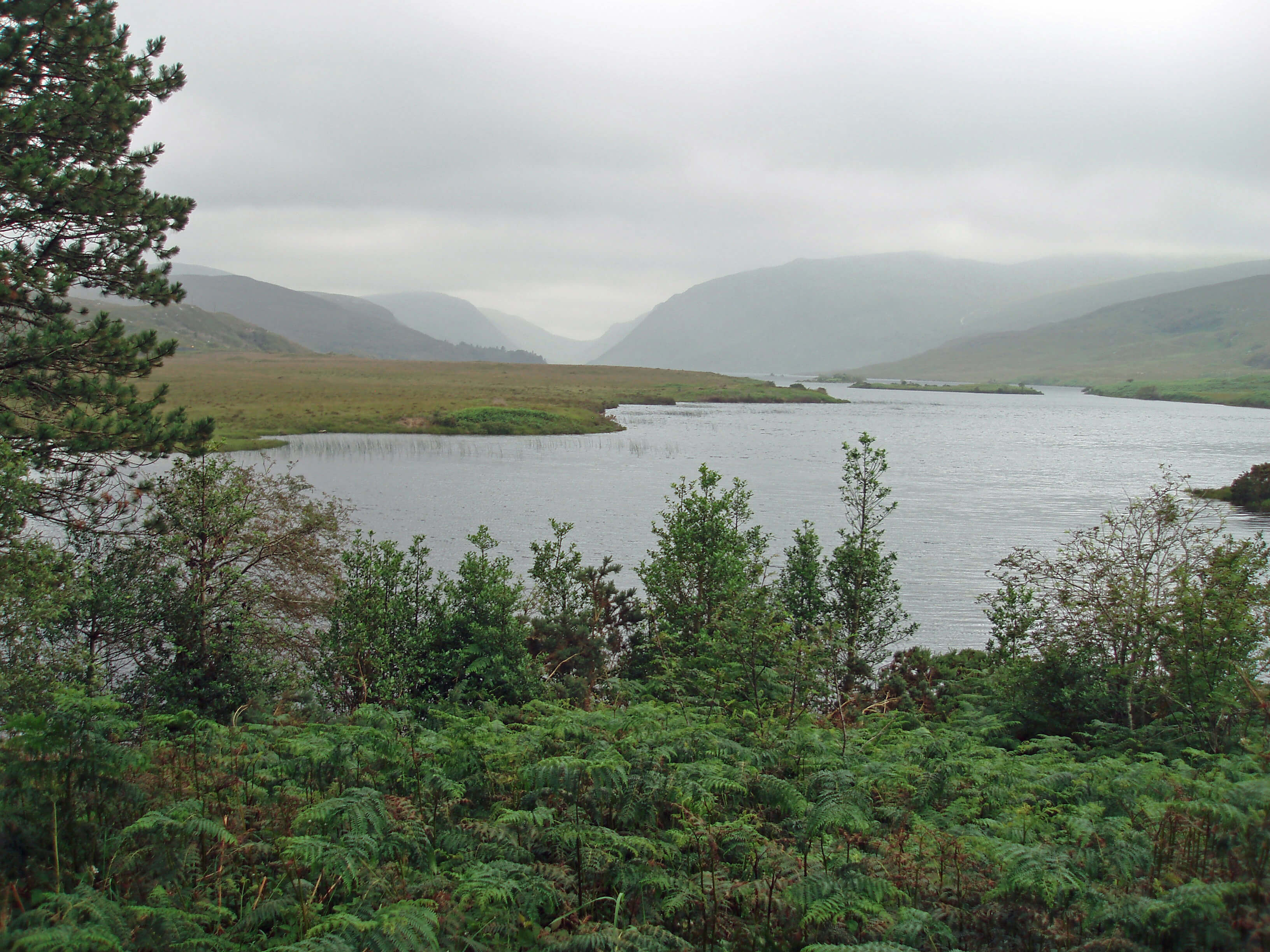 Right: Ghleann Bheatha with Loch Beagh.
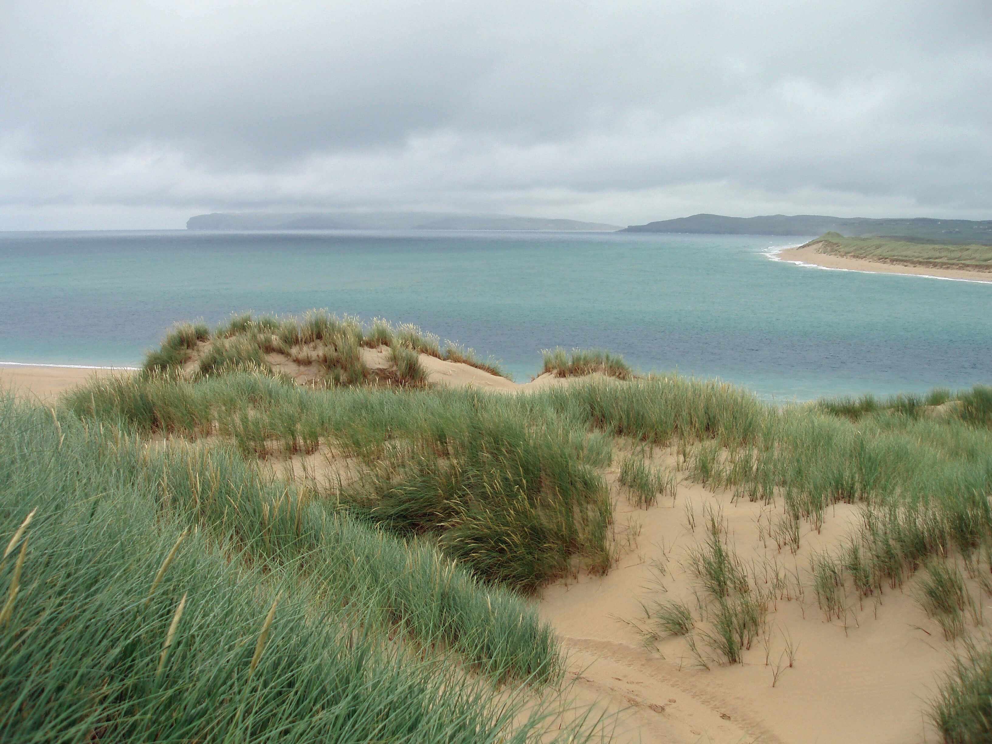
 Left: The beach at Droim na Creige.
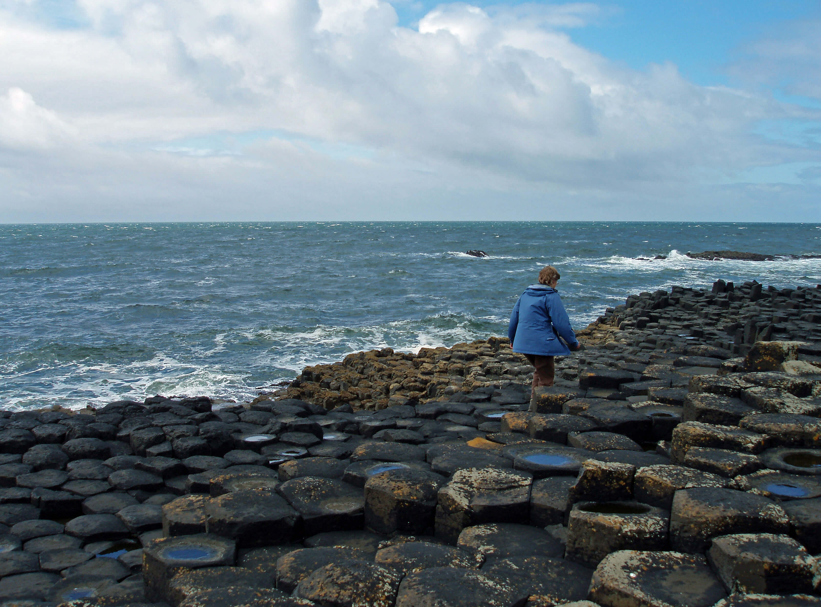 Right: The Giant’s Causeway.
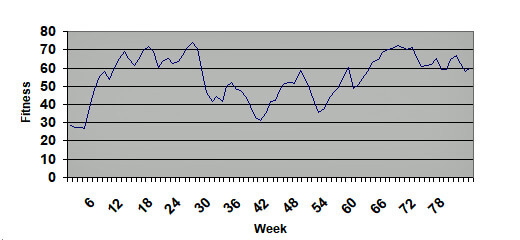 Right: My fitness according to the Fitnessometer.
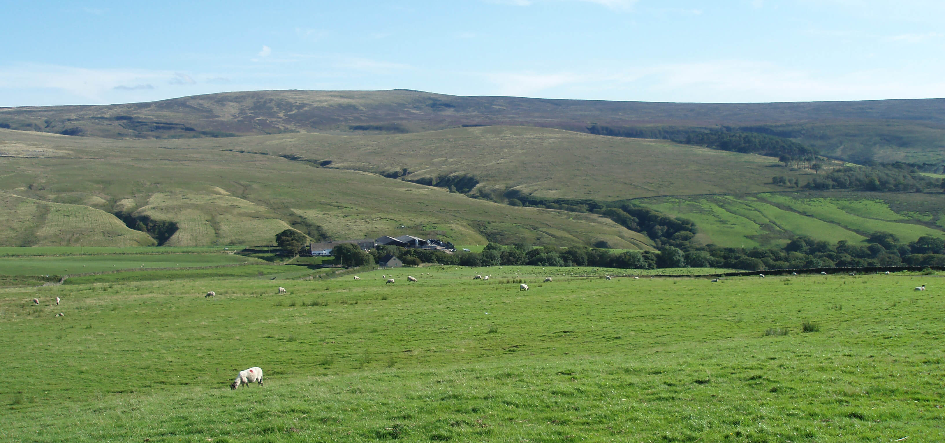
 Left: Looking over Abbeystead from Hawthornthwaite Fell.
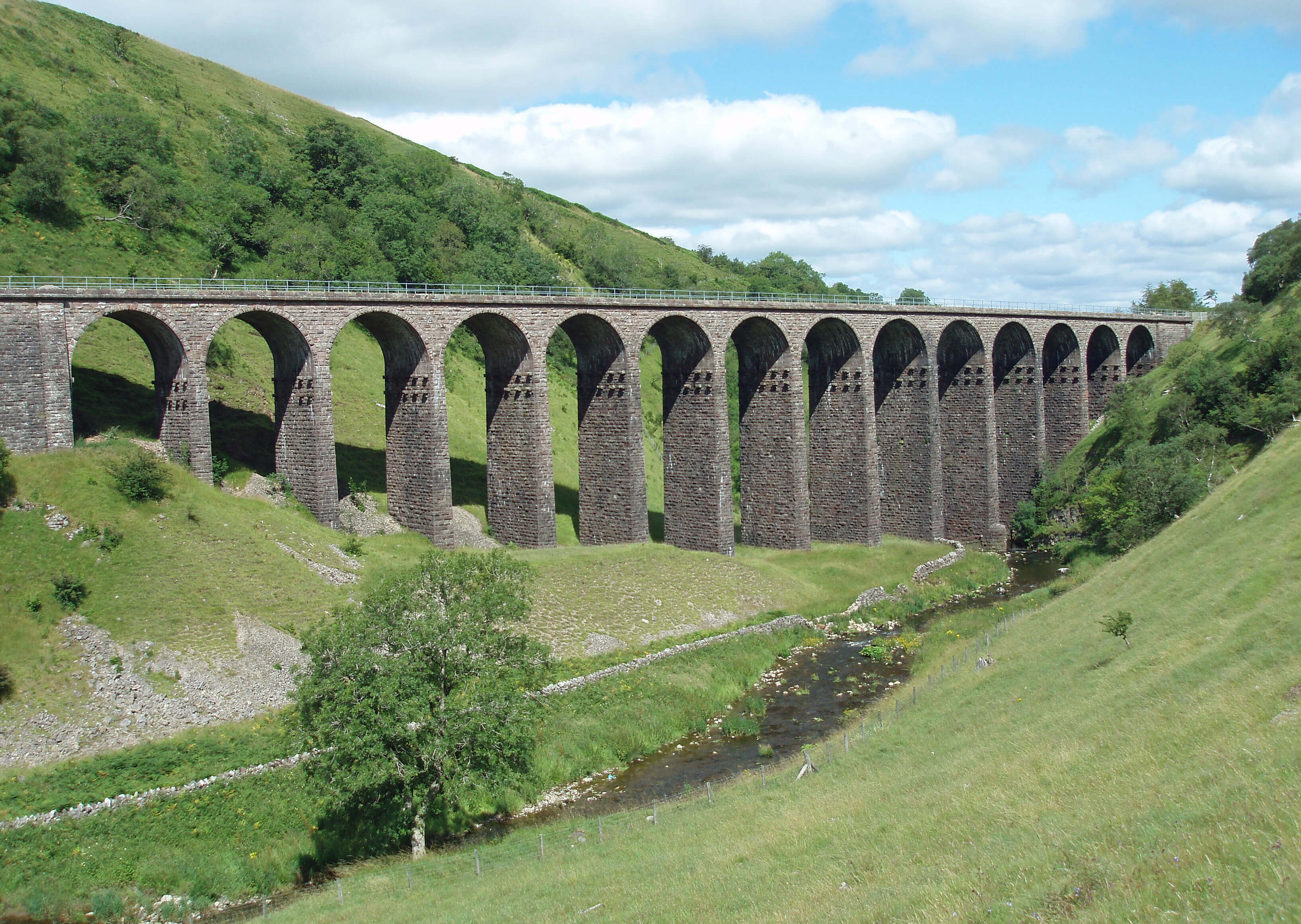 Left: Smardalegill Viaduct.
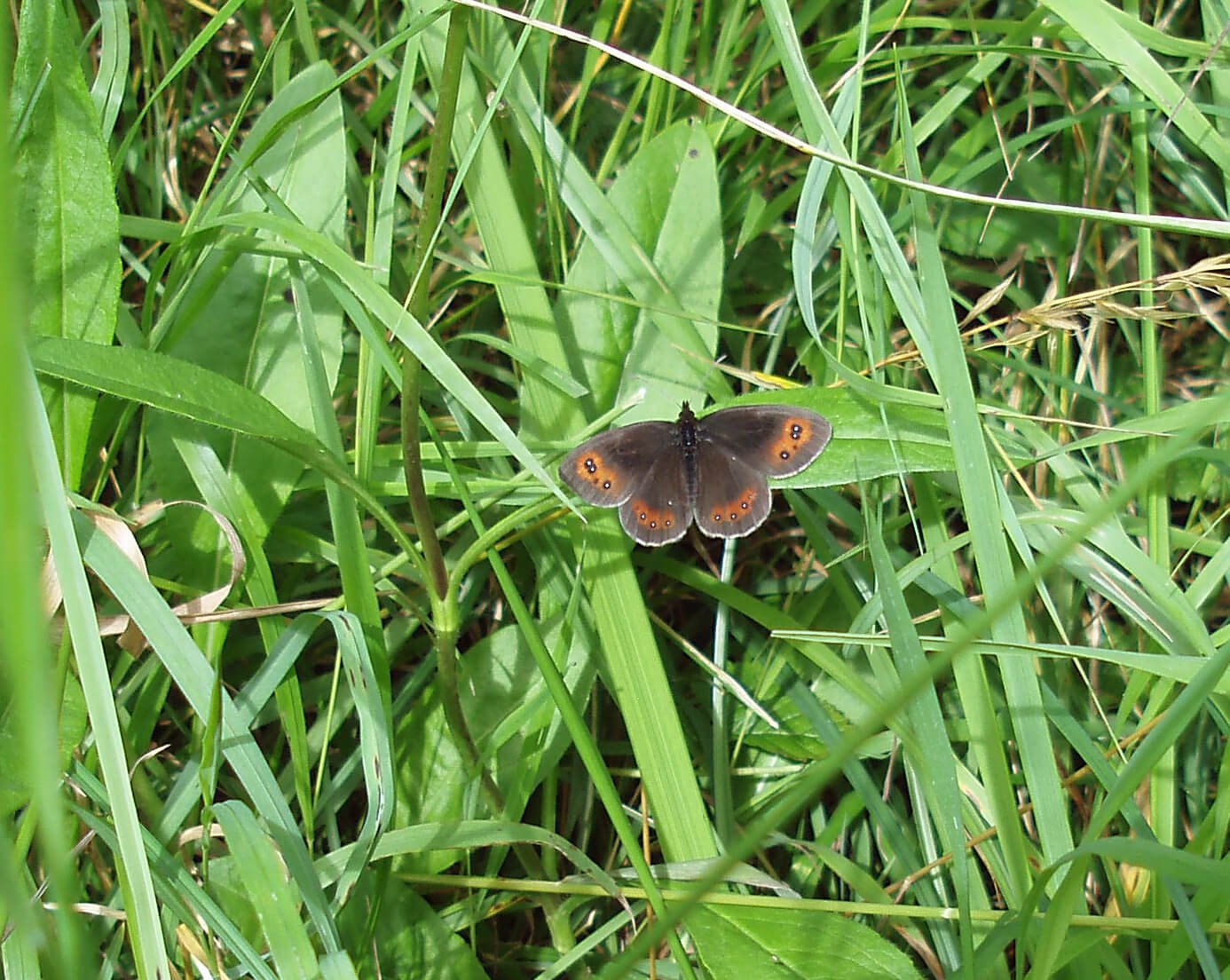 Right: Scotch Argus.
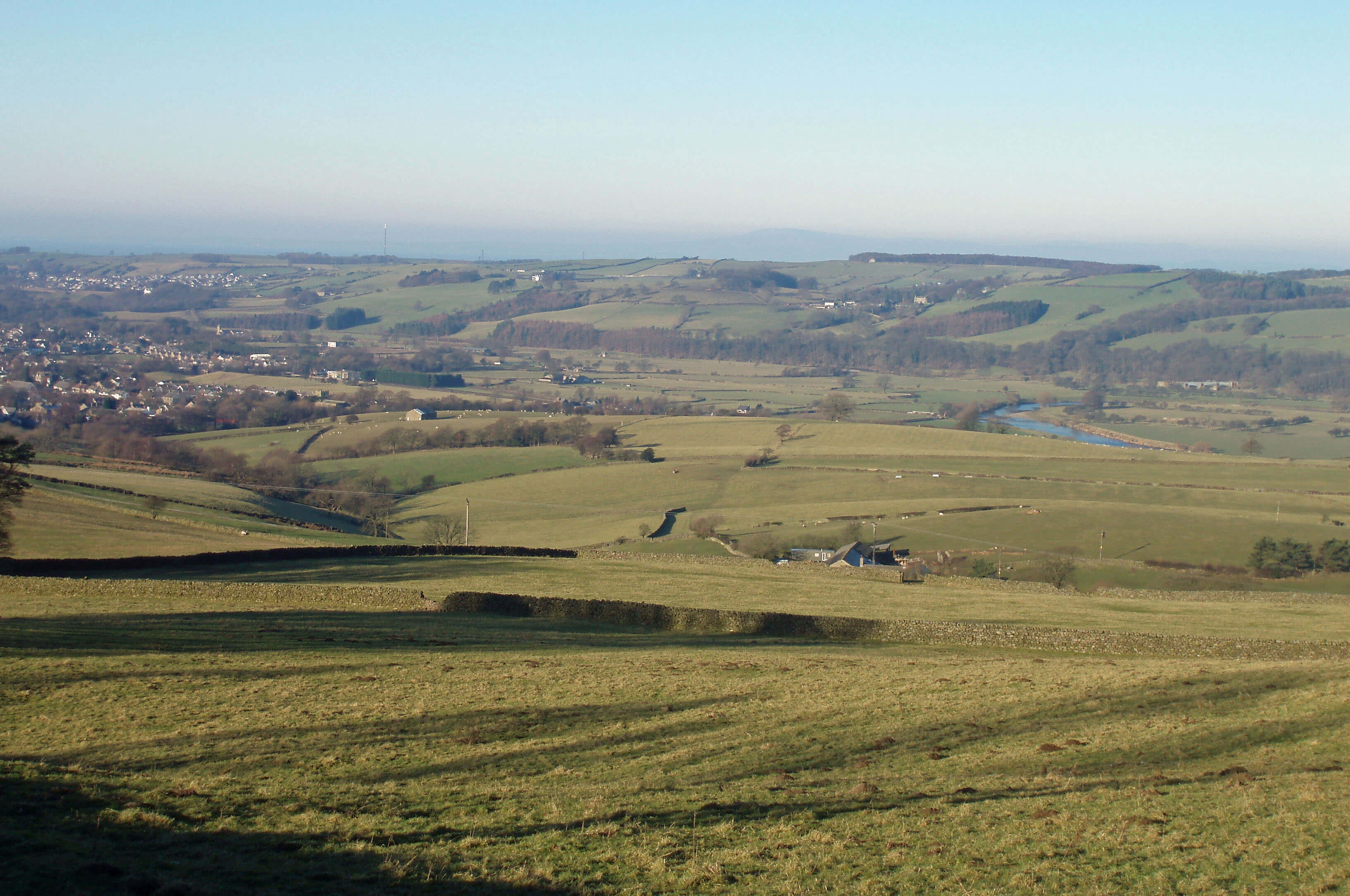
 Right: Looking towards Ingleborough, up the Lune valley, from Halton Park on the other side of the river.
I ran through Halton Park on Wednesday after being tipped-out at Netherby, near Gressingham. I began by running in the
opposite direction, towards the Redwell Inn, and returned through Swarthdale and Addington. This was the second of two
one-hour-plus runs this week. I dare hardly believe how comfortably (touch wood) I’m progressing towards our target.
Right: Looking towards Ingleborough, up the Lune valley, from Halton Park on the other side of the river.
I ran through Halton Park on Wednesday after being tipped-out at Netherby, near Gressingham. I began by running in the
opposite direction, towards the Redwell Inn, and returned through Swarthdale and Addington. This was the second of two
one-hour-plus runs this week. I dare hardly believe how comfortably (touch wood) I’m progressing towards our target.
 Right: The Loyn Bridge at Hornby.
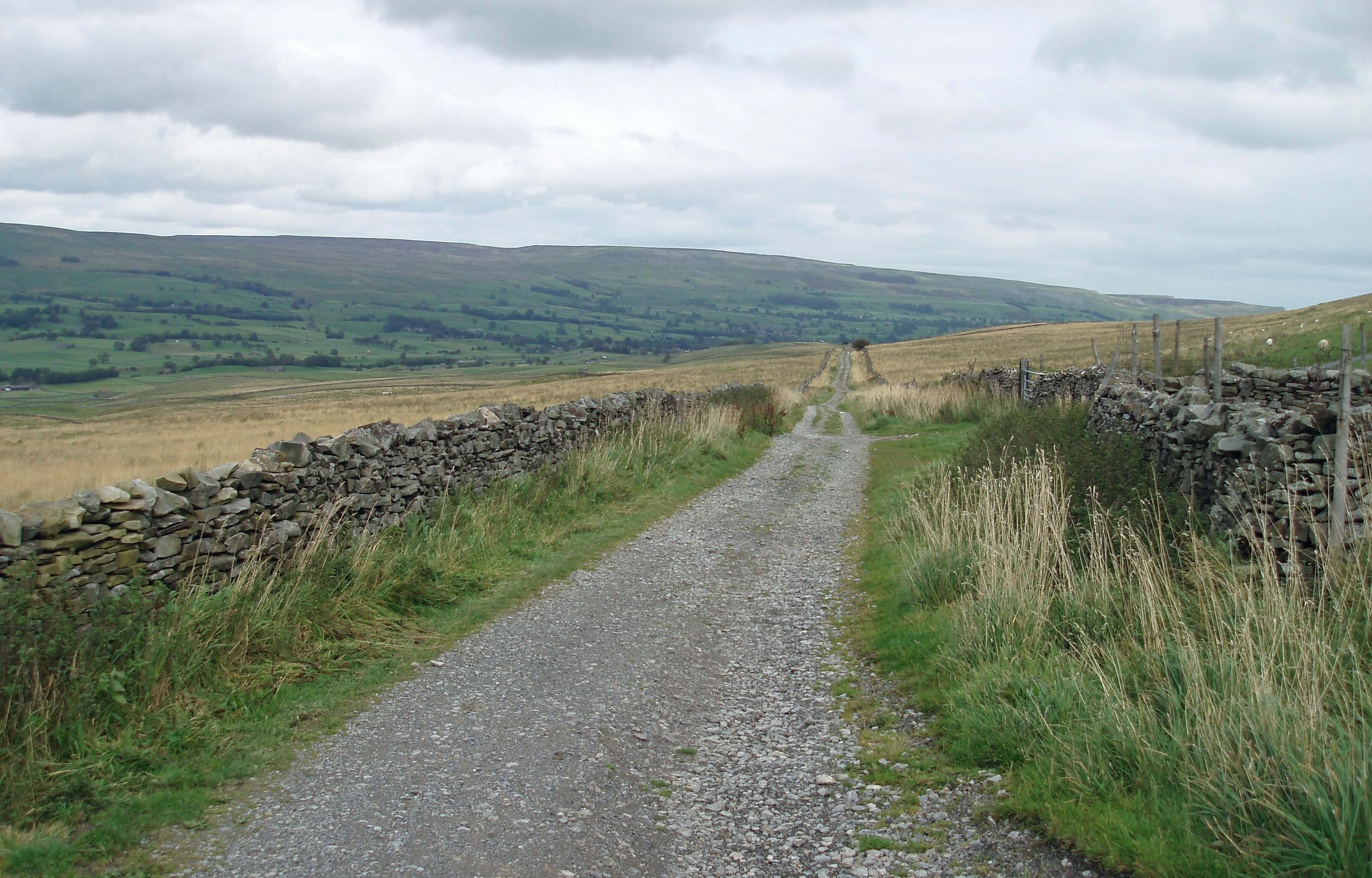
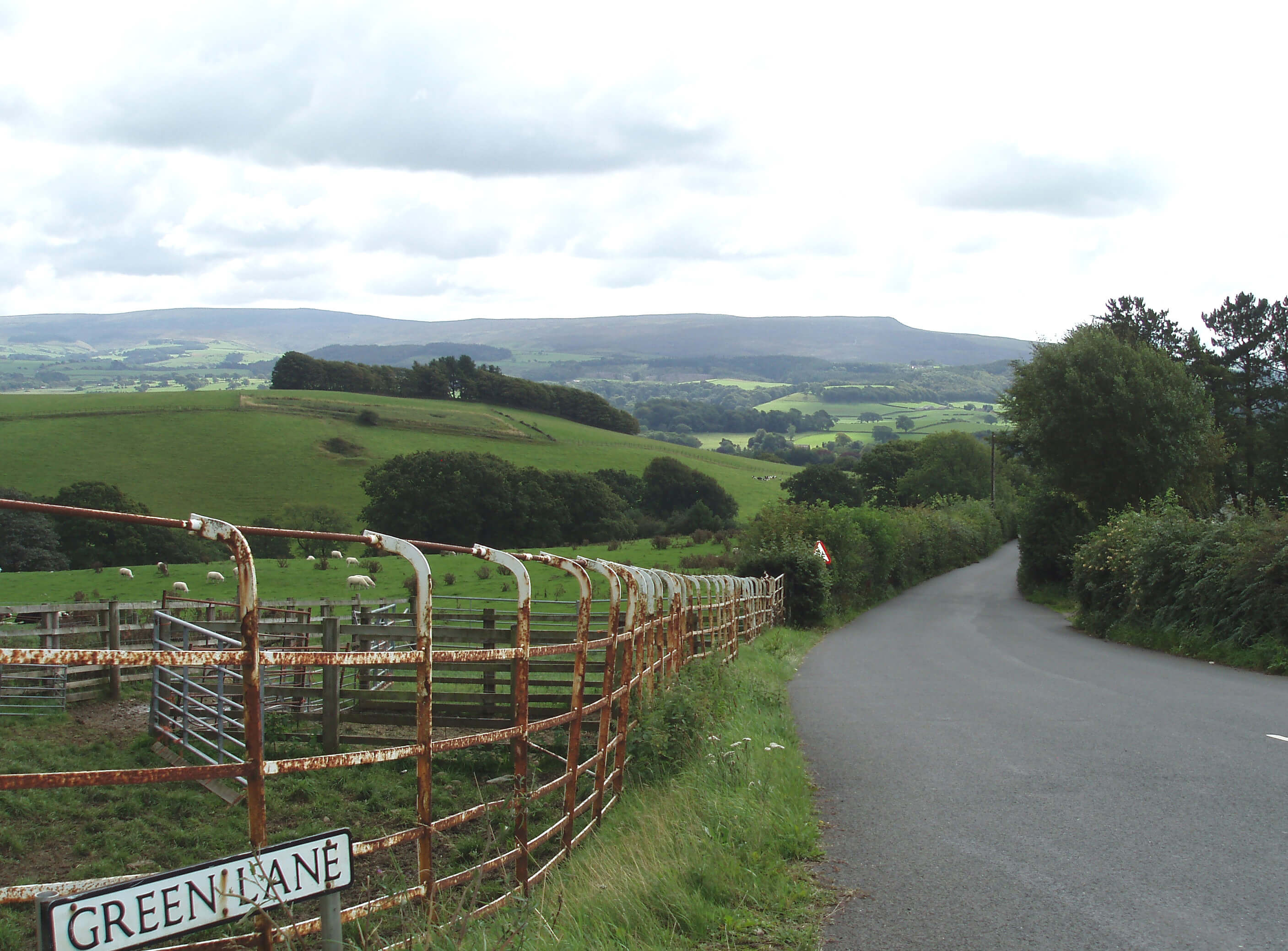 Right: Green Lane, with Ward’s Stone and Clougha Pike ahead.
Two views on the loop around Caton Moor: Deep Clough and Ward’s Stone (above), Haylot Farm and Roeburndale (below).
 Left: My path under the Crook o‘Lune bridge,
under water again.
Left: My path under the Crook o‘Lune bridge,
under water again.
Semer Water and Addleborough, from the steep lane. Cam High Road to Bainbridge. Wensleydale near Hawes, from near Cam High Road.
Running memories are not memories of running. That is, they are not memories of the activity of running, because the activity varies so little that any instance of it is not particularly memorable. Running memories are of the context of running.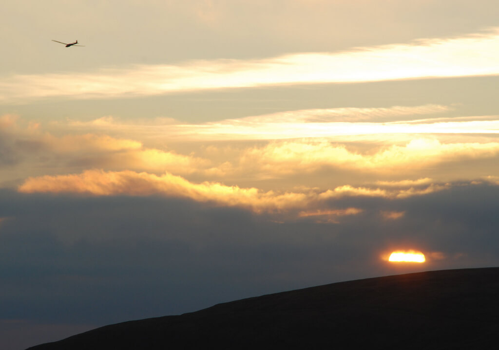 Left: Glider over Parlick.
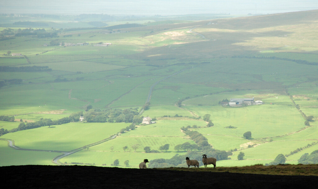
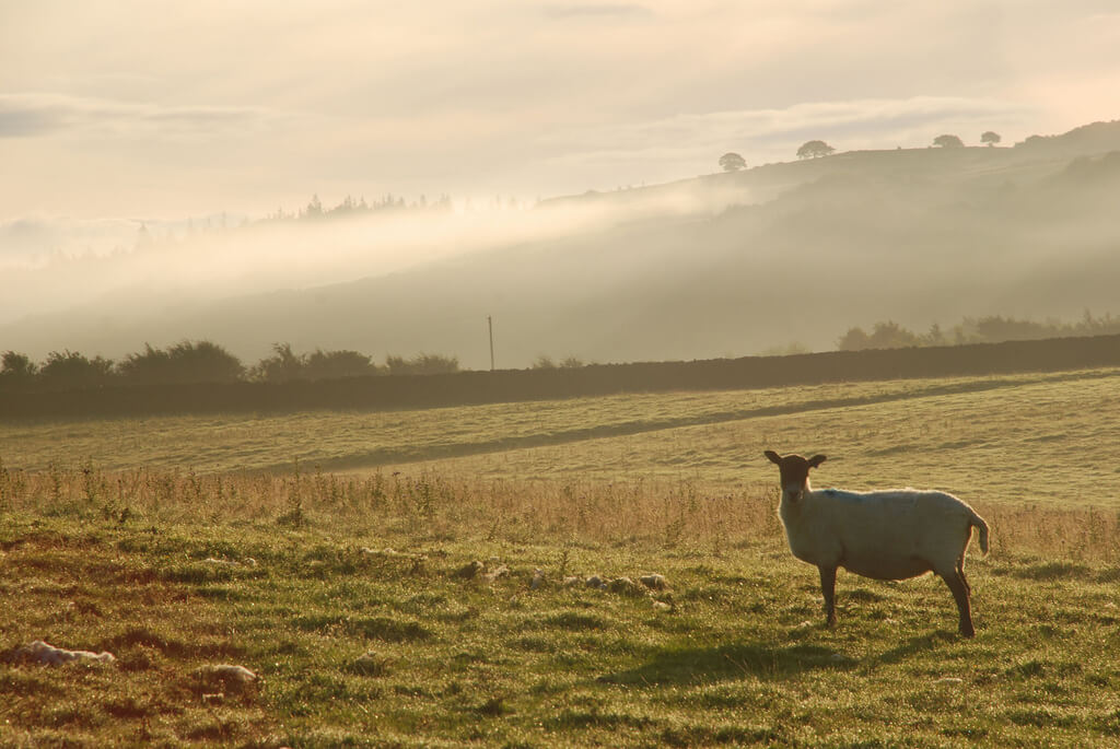 Right: A Lune valley sheep.
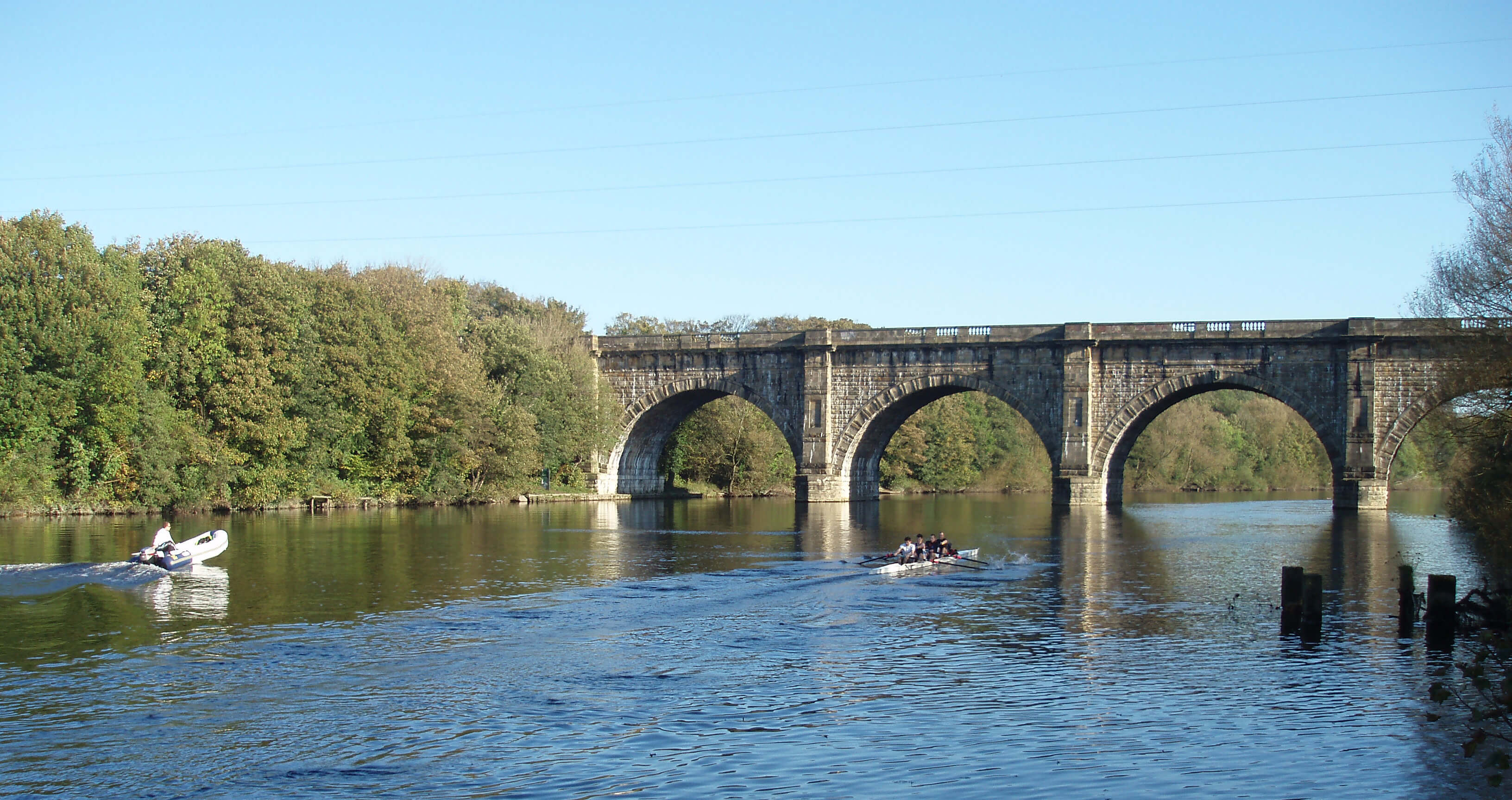 Right: The Lune Aqueduct carrying the Lancaster Canal over the River Lune.
 40-44 45-49 50-54 55-59 60-64 65-69 70-74 75-79
   7%   11%   15%   18%   25%   28%   36%   49%
These figures are similar to those I gave for the marathon (Week 12). The decline for the 10k is a little steeper than for the marathon up to 55 and then less so. We might now hazard an answer to Sloan’s question, but first let’s consider whether the various factors that constitute aging are likely to affect our mile times more or less than they do our marathon and 10k times.
 Left: Setting off at Flamborough Head.
 Right: The end at St Bees Head.
 Right: Dow Crag and Coniston Old Man.
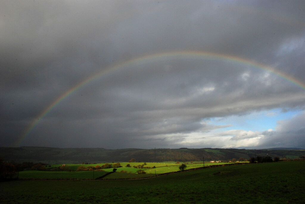 Left: Rainbow in the Lune valley.
Whernside, Ingleborough and Pen-y-Ghent from the Caton Moor bridleway.
Swinging south, I could see the old salt road track that goes over the Bowland hills and then the Ward’s Stone ridge (photos in Week 36). Morecambe Bay then came into view, with Blackpool Tower just about visible. To the right the hills of the Lake District (photo in week 2) were on this occasion obscured by the dark rain clouds scudding across them.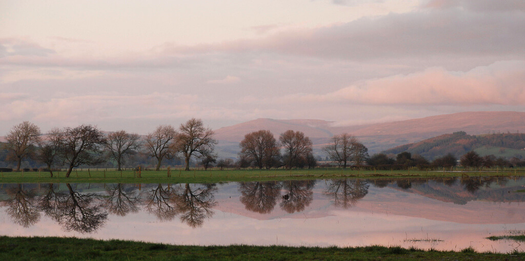 Left: The Lune valley, looking towards Leck Fell and Gragareth.
 Right: The River Lune, where the kingfisher flew across.
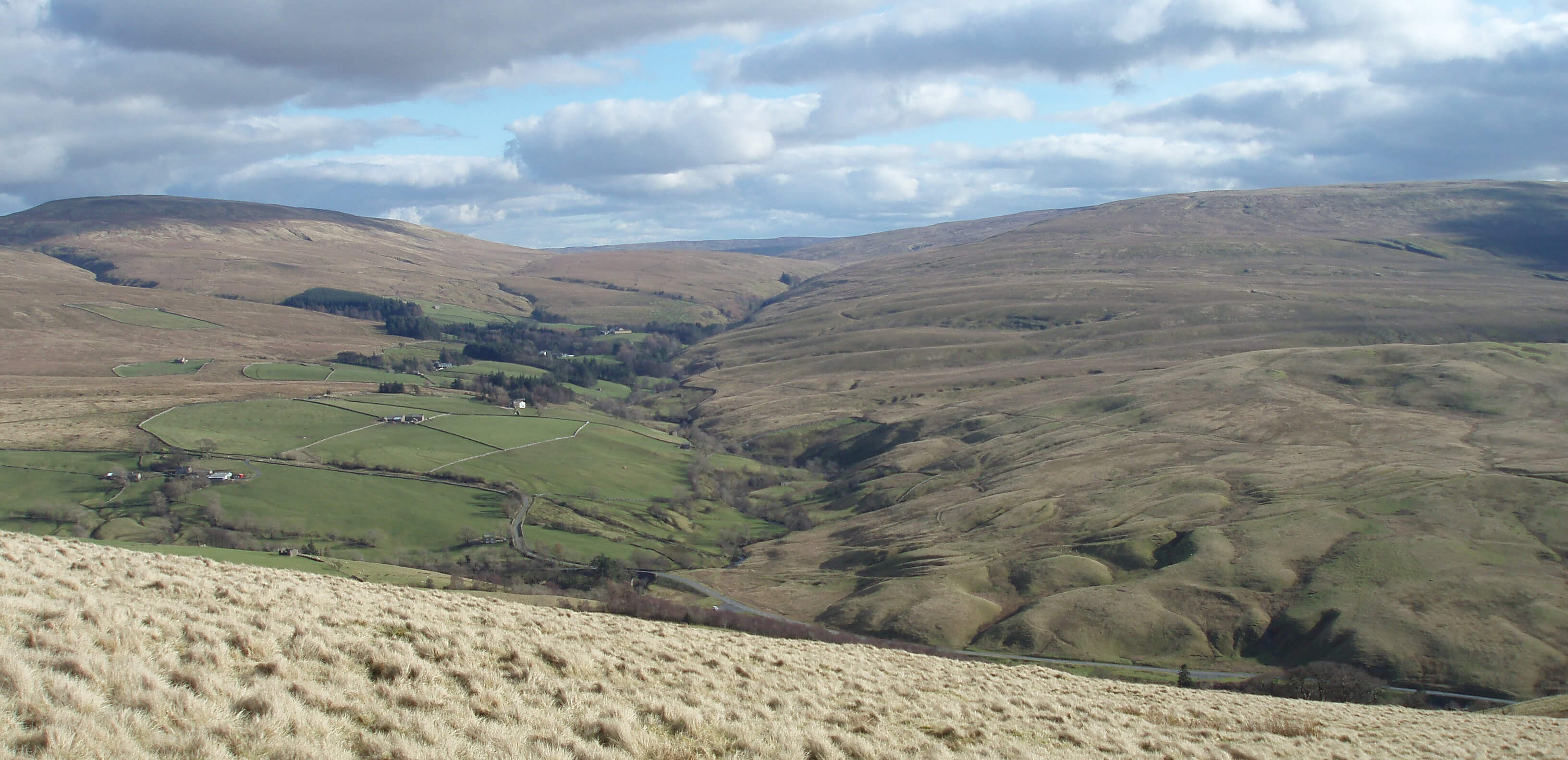 Left: Baugh Fell is the hill on the right. Rawthey Bridge is at the bottom middle.
I ran on the right slope of the valley ahead
(Uldale), where the waterfalls and limestone gorge are tucked in, and then
up the ridge that eventually becomes the horizon.
The return route was, eventually, more or less down
the right edge of the photo.
Left: Baugh Fell is the hill on the right. Rawthey Bridge is at the bottom middle.
I ran on the right slope of the valley ahead
(Uldale), where the waterfalls and limestone gorge are tucked in, and then
up the ridge that eventually becomes the horizon.
The return route was, eventually, more or less down
the right edge of the photo.
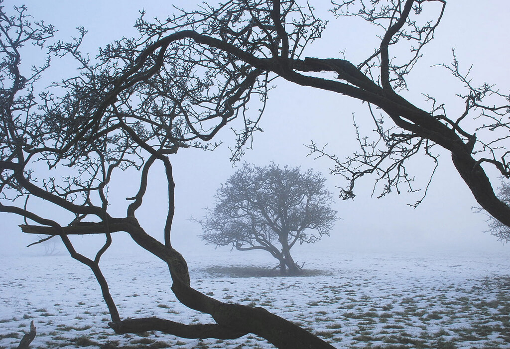 Right: Hawthorn trees in the Lune valley. The first
snow of winter has fallen - another reason not to
run. Actually, I like running on snow, provided the
snow is not on ice or frozen ruts (as it usually is).
Right: Hawthorn trees in the Lune valley. The first
snow of winter has fallen - another reason not to
run. Actually, I like running on snow, provided the
snow is not on ice or frozen ruts (as it usually is).
© John Self