Home
Preamble
Index
Areas
Map
References
Top10s
Me
Drakkar
Saunterings: Walking in North-West England 41 - 50
Saunterings is a set of reflections based upon walks around the counties of Cumbria, Lancashire and North Yorkshire in North-West England (more details of my ‘North-West England’ are given in the Preamble).
If you'd like to give a comment, correction or update (all are very welcome) or to be notified of new items as they appear - please send an email to johnselfdrakkar@gmail.com.
 50. With the Lune from Kirkby Lonsdale
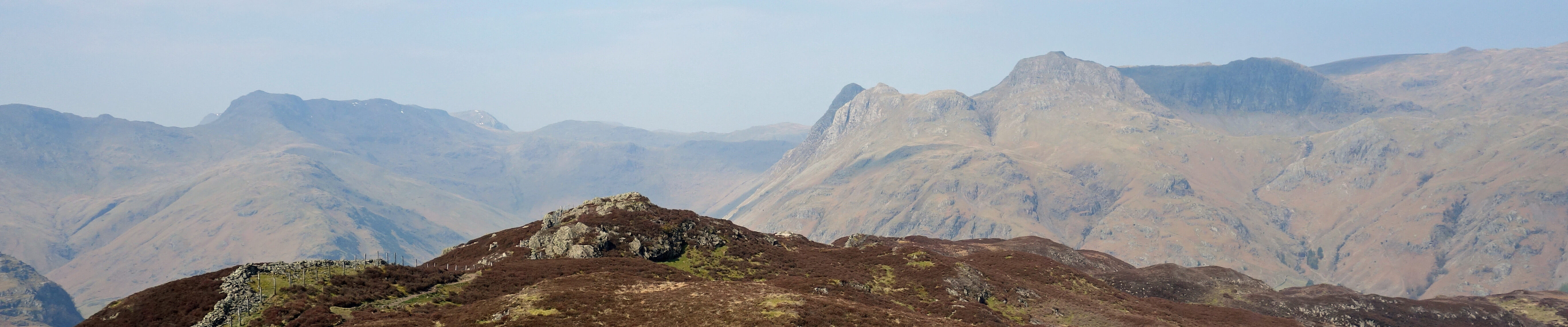
49. Lingmoor Fell - For the Best Medium-High View in Lakeland?
48. With The Grane
47. The 'Wild Desert' of Kingsdale
46. To the Point of Winterburn Reservoir
45. Thoughts from the Towpath (Bilsborrow to Preston)
44. Interlude: We Are Sorry for the Delay ...
43. The Red Screes - Wansfell Question
42. Appreciating Meg and Lucy
41. Safe in Littledale
Home
Preamble
Index
Areas
Map
References
Top10s
Me
Drakkar
© John Self, Drakkar Press, 2018
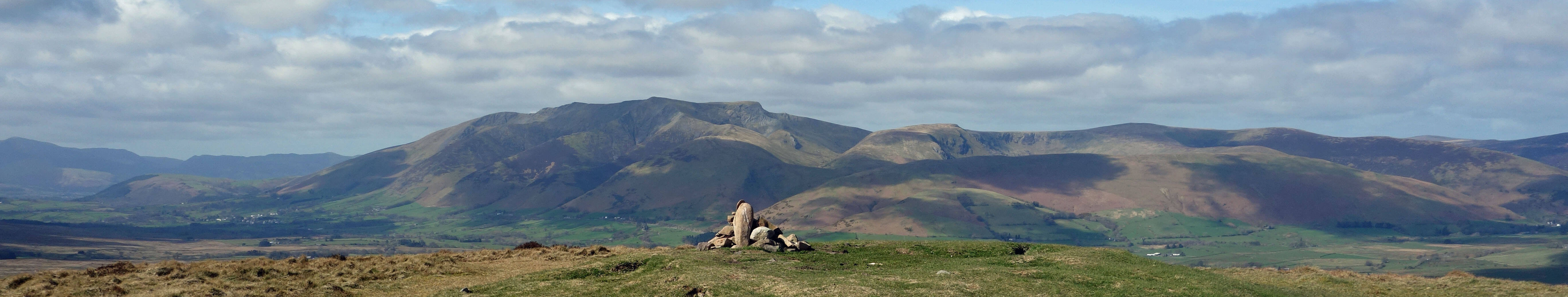
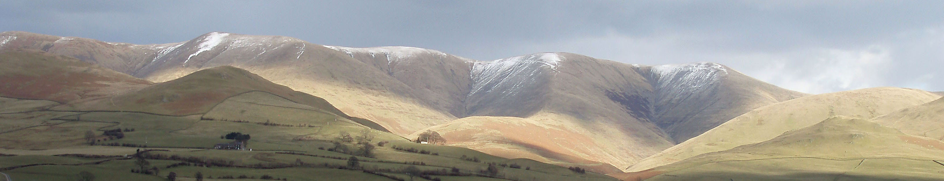
Top photo: The western Howgills from Dillicar; Bottom photo: Blencathra from Great Mell Fell